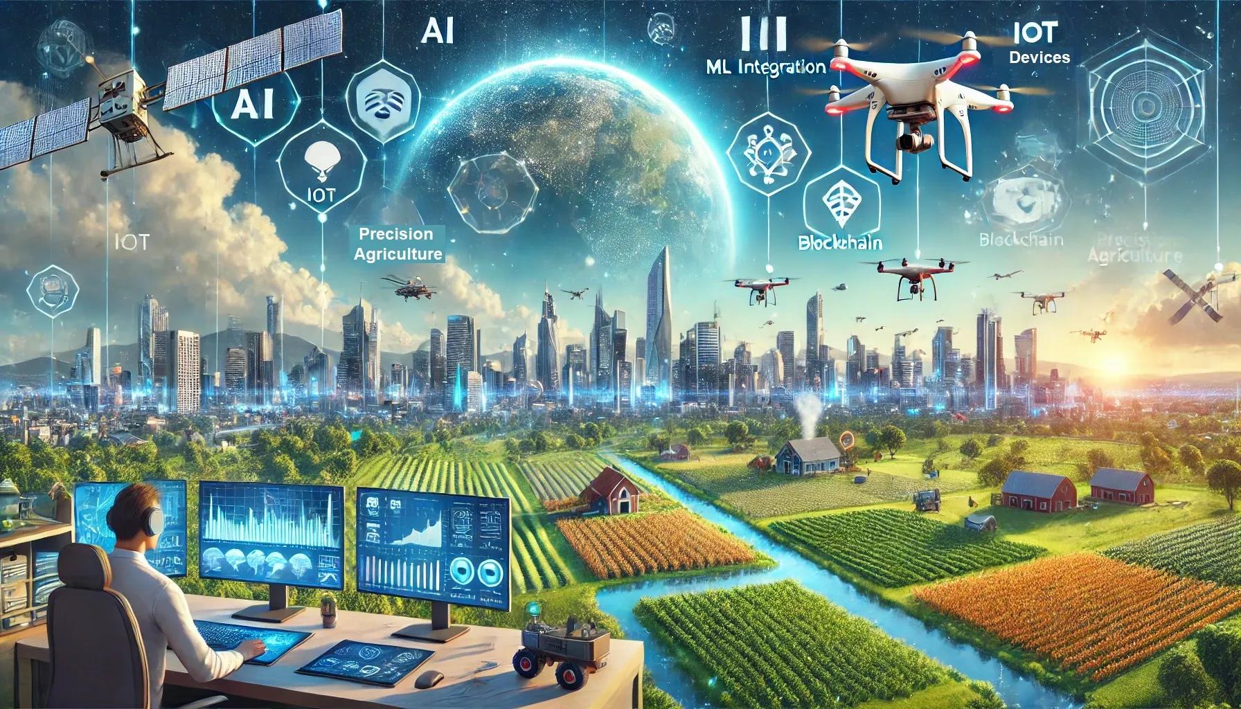
Geospatial technology, encompassing geographic information systems (GIS), remote sensing, and global positioning systems (GPS), is pivotal in shaping various sectors, including urban planning, agriculture, disaster management, and environmental monitoring. In the context of India, the future of geospatial technology promises significant advancements, driven by technological innovations, policy support, and increasing demand for spatial data and analytics. This article explores the key trends expected to define the geospatial technology landscape in India in 2025 and beyond.
1. Integration with Emerging Technologies
Artificial Intelligence and Machine Learning
The integration of artificial intelligence (AI) and machine learning (ML) with geospatial technology is set to revolutionize spatial data analysis and decision-making processes. AI and ML algorithms can process vast amounts of geospatial data, identifying patterns and generating insights that were previously unattainable. In India, these technologies will enhance predictive analytics in agriculture, urban planning, and disaster management. For instance, AI-driven models can predict crop yields, monitor urban growth, and assess the impact of natural disasters with higher accuracy, enabling proactive measures and efficient resource allocation.
Internet of Things (IoT)
The proliferation of IoT devices is generating a massive influx of real-time spatial data. Integrating IoT with geospatial technology will enable the creation of dynamic and real-time geospatial datasets. In India, applications such as smart cities, precision agriculture, and environmental monitoring will benefit immensely. IoT-enabled sensors can monitor soil moisture levels, air quality, and traffic patterns, providing valuable data for informed decision-making and enhancing the quality of life for citizens.
Blockchain Technology
Blockchain technology offers a secure and transparent framework for managing geospatial data. In India, blockchain can address challenges related to data authenticity, ownership, and sharing. For example, land records and property transactions can be securely recorded on a blockchain, reducing fraud and ensuring transparency. Additionally, blockchain can facilitate the sharing of geospatial data across organizations while maintaining data integrity and privacy.
2. Advancements in Remote Sensing and Earth Observation
High-Resolution Satellite Imagery
Advancements in remote sensing technology are leading to the availability of high-resolution satellite imagery. In India, high-resolution imagery will play a crucial role in urban planning, agriculture, and environmental monitoring. For instance, detailed imagery can help identify illegal encroachments, monitor deforestation, and assess crop health. The increased availability of high-resolution data will enable more accurate and timely analysis, supporting sustainable development initiatives.
Hyperspectral Imaging
Hyperspectral imaging, which captures a wide spectrum of light, is emerging as a powerful tool for geospatial analysis. In India, hyperspectral imaging can be applied in agriculture to monitor crop health, detect nutrient deficiencies, and identify pest infestations. Additionally, it can be used in mineral exploration and environmental monitoring. The detailed spectral information provided by hyperspectral imaging will enhance the accuracy and specificity of geospatial analyses, leading to better-informed decision-making.
Unmanned Aerial Vehicles (UAVs)
The use of UAVs, commonly known as drones, is expanding rapidly in India. UAVs equipped with advanced sensors can capture high-resolution geospatial data in real-time. Applications of UAVs in India include precision agriculture, infrastructure inspection, and disaster response. Drones can monitor crop health, inspect bridges and roads, and provide real-time imagery during natural disasters, facilitating efficient and timely interventions.
3. Policy Support and Institutional Frameworks
National Geospatial Policy
The Government of India is recognizing the strategic importance of geospatial technology and is implementing policies to promote its adoption and integration. The National Geospatial Policy aims to create an enabling environment for geospatial data generation, sharing, and utilization. The policy emphasizes open data sharing, data standardization, and the development of a robust geospatial infrastructure. This supportive policy framework will drive innovation and investment in the geospatial sector, fostering its growth and development.
Data Privacy and Security
With the increasing use of geospatial data, ensuring data privacy and security is paramount. The Digital Personal Data Protection Bill, passed in 2023, provides a comprehensive framework for data protection in India. The legislation mandates stringent measures for data collection, storage, and processing, ensuring that geospatial data is handled responsibly. This will build trust among users and stakeholders, encouraging the adoption of geospatial technologies.
4. Applications in Key Sectors
Urban Planning and Smart Cities
Geospatial technology is integral to urban planning and the development of smart cities in India. By integrating geospatial data with urban planning processes, city planners can make informed decisions regarding land use, infrastructure development, and resource allocation. Smart city initiatives can leverage real-time geospatial data to optimize traffic management, waste disposal, and energy consumption. The use of geospatial technology will enhance the efficiency and sustainability of urban development projects.
Agriculture and Precision Farming
Agriculture is a critical sector in India, and geospatial technology is poised to transform it through precision farming techniques. By integrating satellite imagery, UAV data, and IoT sensors, farmers can monitor soil health, optimize irrigation, and manage pests more effectively. Geospatial technology enables site-specific interventions, leading to increased crop yields and reduced resource wastage. This will significantly contribute to the sustainability and profitability of Indian agriculture.
Disaster Management and Climate Resilience
India is prone to various natural disasters, including floods, earthquakes, and cyclones. Geospatial technology plays a vital role in disaster management and climate resilience. Real-time geospatial data can be used to monitor weather patterns, assess vulnerability, and plan evacuation routes. During disasters, UAVs and satellite imagery provide real-time information for effective response and recovery. Additionally, geospatial technology aids in climate change monitoring and adaptation strategies, contributing to the resilience of communities and ecosystems.
5. Capacity Building and Skill Development
Education and Training Programs
To fully harness the potential of geospatial technology, there is a need for capacity building and skill development. Educational institutions in India are increasingly offering specialized courses in geospatial sciences, remote sensing, and GIS. These programs equip students with the technical skills required to analyze and interpret geospatial data. Additionally, training programs and workshops for professionals are essential to keep them updated with the latest advancements and applications of geospatial technology.
Public-Private Partnerships
Collaboration between the public and private sectors is crucial for the growth of the geospatial industry in India. Public-private partnerships can drive innovation, research, and development in geospatial technologies. By leveraging the expertise and resources of both sectors, India can develop cutting-edge geospatial solutions and expand their applications across various domains. These partnerships will also facilitate the commercialization of geospatial technologies, making them more accessible and affordable.
In conclusion, the future of geospatial technology in India is promising, characterized by the integration of emerging technologies, advancements in remote sensing, supportive policies, and diverse applications across key sectors. As India continues to embrace geospatial technology, it will witness significant improvements in urban planning, agriculture, disaster management, and environmental monitoring. To fully realize this potential, investments in capacity building, skill development, and public-private partnerships are essential. The convergence of technology, policy, and collaboration will drive the growth of the geospatial sector, contributing to India's sustainable development and economic progress.