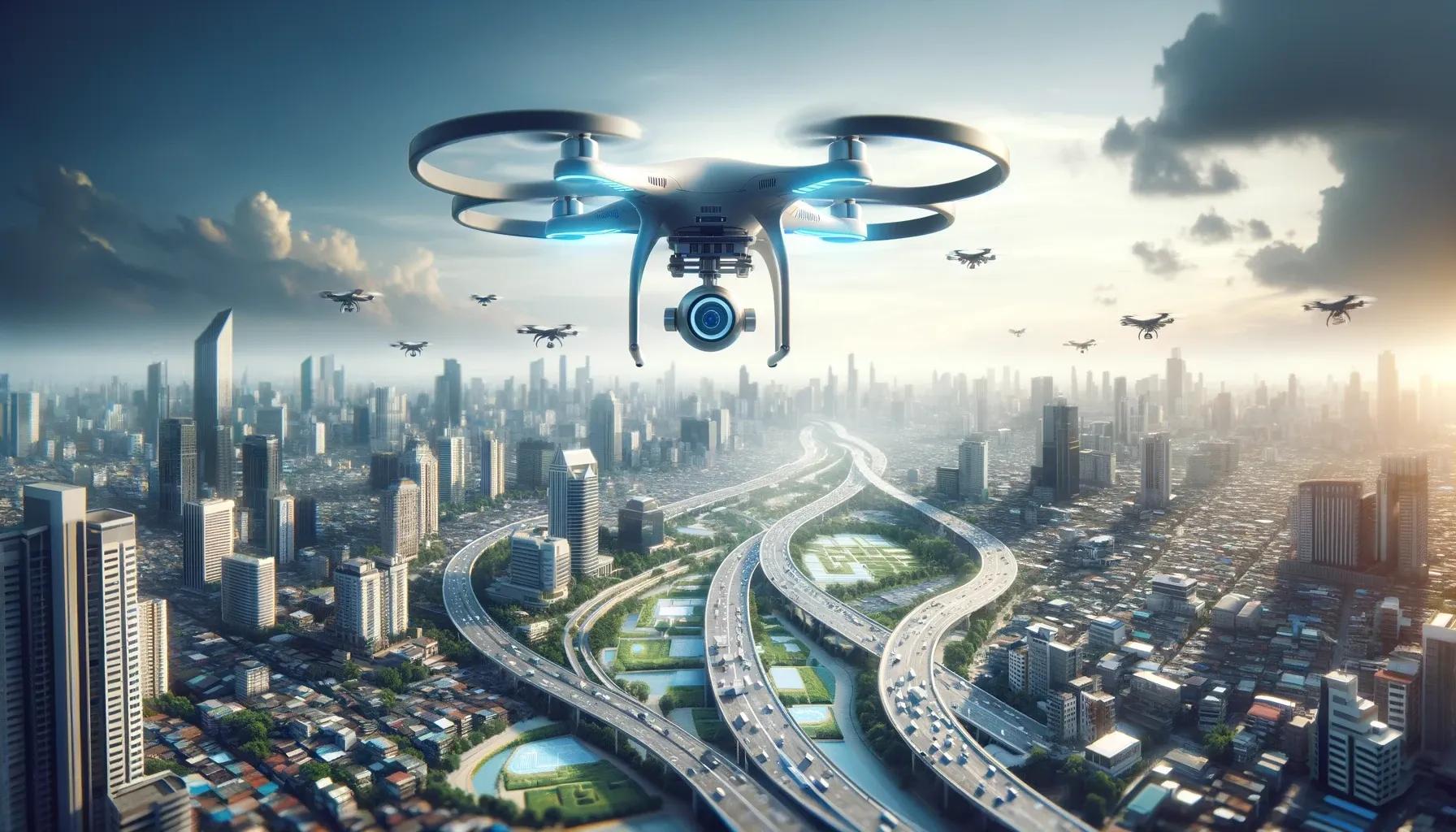
In the realm of geospatial mapping, an exciting transformation is underway, propelled by the advancements in Unmanned Aerial Vehicle (UAV) technology. UAVs, commonly known as drones, are at the forefront of a technological revolution, bringing unprecedented accuracy, efficiency, and cost-effectiveness to the field of geospatial mapping. This article delves into how UAV technology is reshaping the landscape of geospatial mapping, exploring the cutting-edge advancements, significant improvements in accuracy, and enhanced cost-effectiveness that these aerial marvels offer.
Unveiling the Potential of UAVs in Geospatial Mapping
Cutting-Edge Technological Advancements
The rapid evolution of UAV technology has been nothing short of revolutionary. Modern UAVs are equipped with high-resolution cameras, advanced sensors, and robust data-processing capabilities. These technological enhancements enable UAVs to capture detailed aerial imagery and generate high-precision maps with remarkable accuracy. The integration of LiDAR (Light Detection and Ranging) technology with UAVs has been a game-changer, allowing for the creation of 3D maps and terrain models with unparalleled detail. Additionally, the advent of multispectral and thermal imaging technologies has expanded the capabilities of UAVs, enabling them to capture data beyond the visible spectrum, which is invaluable in environmental monitoring, agriculture, and urban planning.
Enhanced Accuracy and Precision
One of the most significant contributions of UAVs to geospatial mapping is the remarkable improvement in accuracy and precision. Traditional ground-based survey methods are often limited by geographical and physical constraints, leading to less precise data collection. In contrast, UAVs can easily navigate and map complex terrains and hard-to-reach areas, providing comprehensive coverage and detailed data. The ability of UAVs to fly at lower altitudes compared to manned aircraft results in higher-resolution imagery and more accurate topographical data. This high degree of precision is crucial for various applications, including construction, land management, and disaster response.
Cost-Effectiveness and Efficiency
The deployment of UAVs in geospatial mapping brings significant cost savings and operational efficiency. Traditional aerial survey methods, which often involve the use of manned aircraft, are not only expensive but also time-consuming. UAVs, on the other hand, offer a more economical alternative, reducing the cost of aerial surveys significantly. They require fewer personnel to operate and can cover large areas in a shorter time frame, leading to quicker data acquisition and processing. This efficiency is particularly beneficial in projects that require rapid turnaround times, such as emergency response mapping and real-time monitoring of environmental changes.
The Bright Future Ahead
The future of geospatial mapping with UAVs is incredibly promising, with continuous advancements in UAV technology opening up new possibilities. The integration of artificial intelligence (AI) and machine learning with UAV-based mapping is set to further enhance the accuracy and efficiency of data analysis. AI algorithms can automate the processing of vast amounts of imagery and data captured by UAVs, enabling quicker and more accurate interpretations.
Another exciting development is the increasing use of UAV swarms. Deploying a group of UAVs simultaneously can exponentially increase the data collection capabilities, offering comprehensive mapping of large areas in a fraction of the time. This approach has significant potential for large-scale mapping projects, disaster management, and environmental monitoring.
Furthermore, as UAV technology becomes more accessible and user-friendly, its adoption is expected to grow across various sectors. This democratization of UAV technology will not only spur innovation but also encourage more widespread use in areas like urban planning, agriculture, forestry, and infrastructure development.
Embracing the UAV Revolution in Geospatial Mapping
As we look towards the future, it is evident that UAV technology will play a pivotal role in shaping the field of geospatial mapping. The advancements in UAV technology are not just enhancing the capabilities of geospatial mapping but are also making it more accessible and cost-effective. This revolution is empowering professionals across various industries to harness the power of geospatial data like never before, leading to smarter decision-making and more sustainable development.
In conclusion, the integration of UAVs into geospatial mapping marks a significant leap forward in our ability to understand and interact with the world around us. With the continuous evolution of UAV technology, we are on the cusp of unlocking even greater potential in geospatial mapping, paving the way for a future where accurate, efficient, and cost-effective mapping solutions are the norm. This is not just a technological advancement; it is a transformative shift that holds immense promise for making our world a better and more understood place.