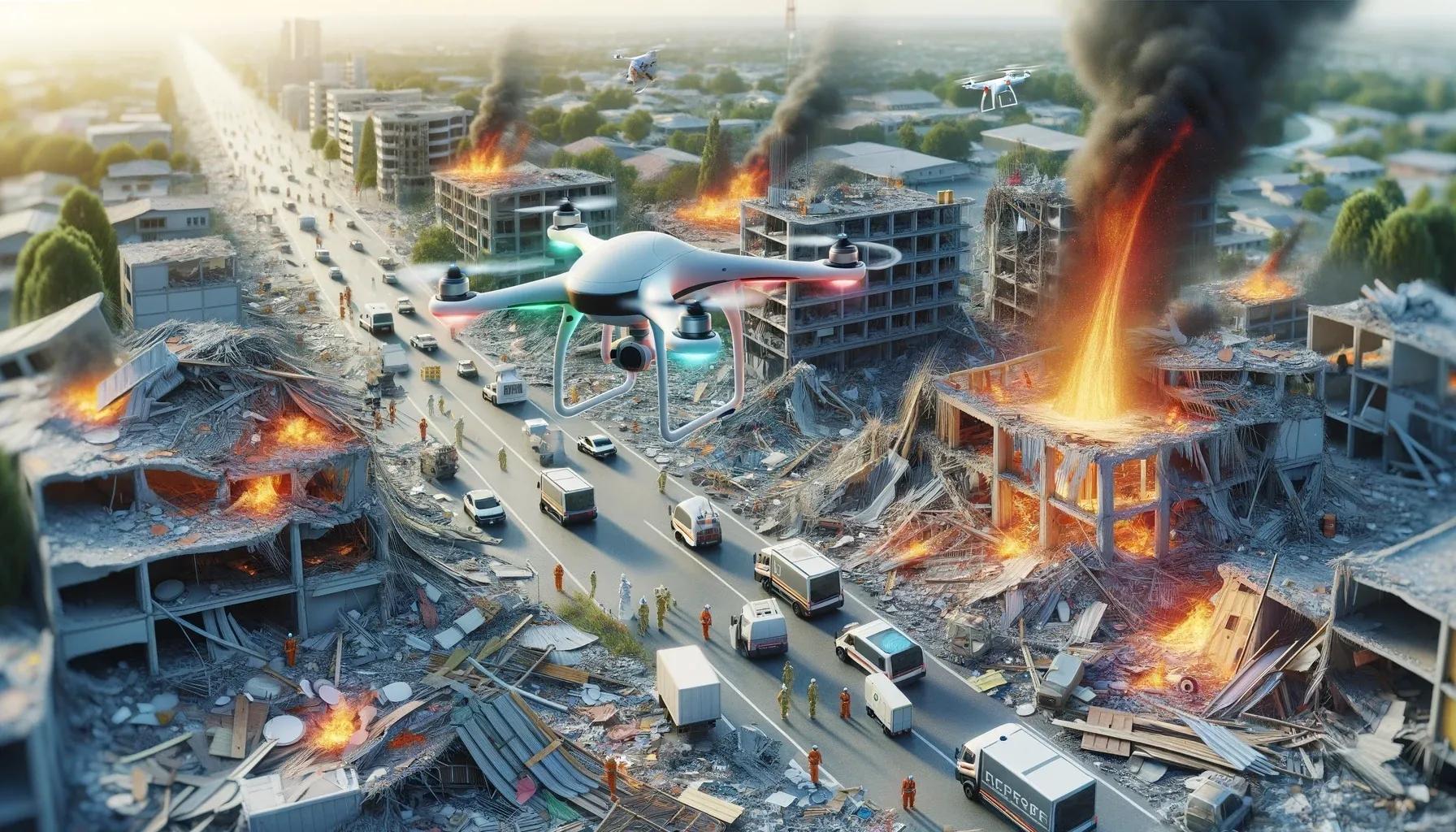
Unmanned Aerial Vehicles (UAVs), commonly known as drones, have emerged as a powerful tool in various industries, including agriculture, real estate, and emergency response. In the realm of post-disaster reconstruction, UAVs offer significant advantages that enhance the efficiency, accuracy, and safety of recovery efforts. This article explores the multifaceted benefits of utilizing UAVs in post-disaster reconstruction, emphasizing their impact on assessment, planning, monitoring, and coordination processes.
Rapid Assessment and Data Collection
One of the primary advantages of UAVs in post-disaster reconstruction is their ability to quickly assess affected areas and gather critical data. Traditional methods of assessment, such as ground surveys and manned aerial inspections, can be time-consuming and risky, especially in areas with hazardous conditions. UAVs, equipped with high-resolution cameras and sensors, can swiftly capture detailed imagery and geospatial data, providing a comprehensive overview of the disaster's impact.
The rapid assessment capabilities of UAVs enable emergency responders and reconstruction teams to prioritize areas that require immediate attention. High-resolution ortho-mosaic maps and 3D models generated from UAV data provide valuable insights into the extent of damage, structural integrity of buildings, and accessibility of roads and infrastructure. This information is crucial for making informed decisions and allocating resources effectively.
Enhanced Accuracy and Precision
UAVs offer a level of accuracy and precision that surpasses many traditional methods of data collection. Equipped with advanced GPS and inertial measurement units (IMUs), UAVs can capture georeferenced data with high positional accuracy. This precision is particularly important in post-disaster reconstruction, where accurate measurements and assessments are essential for planning and executing recovery efforts.
The use of UAVs in creating detailed topographic maps and Digital Elevation Models (DEMs) allows reconstruction teams to understand the terrain's contours and elevations accurately. This information is vital for designing infrastructure, planning drainage systems, and ensuring that reconstruction efforts are resilient to future disasters. The precise data collected by UAVs also aids in identifying structural vulnerabilities and areas at risk of further damage.
Improved Safety for Personnel
Post-disaster environments are often hazardous, with unstable structures, debris, and potential health risks. Deploying personnel to conduct ground surveys and inspections can expose them to significant dangers. UAVs mitigate these risks by allowing remote assessment and data collection from a safe distance. This not only protects the safety of personnel but also ensures that assessments can be conducted in areas that may be otherwise inaccessible.
UAVs equipped with thermal imaging cameras can detect heat signatures and identify hotspots, which is particularly useful in scenarios involving fires or hazardous materials. By providing real-time data on potential risks, UAVs enhance the safety and effectiveness of emergency response and reconstruction teams.
Efficient Resource Allocation
Effective resource allocation is a critical component of post-disaster reconstruction. UAVs contribute to this efficiency by providing accurate and up-to-date information on the extent of damage and the condition of infrastructure. This information helps reconstruction teams prioritize areas that need immediate attention and allocate resources where they are most needed.
For example, UAVs can identify blocked roads, damaged bridges, and areas with severe structural damage. This allows reconstruction teams to focus on clearing transportation routes and restoring critical infrastructure first, ensuring that aid and resources can reach affected communities promptly. The ability to monitor progress in real-time also enables dynamic resource allocation, adapting to changing conditions and emerging priorities.
Enhanced Communication and Coordination
Effective communication and coordination are essential for successful post-disaster reconstruction efforts. UAVs play a crucial role in enhancing these aspects by providing real-time data and visualizations that can be easily shared among various stakeholders. High-resolution imagery and 3D models generated by UAVs offer a clear and comprehensive view of the affected areas, facilitating better communication and collaboration.
UAVs can also be integrated with Geographic Information Systems (GIS) to create interactive maps and dashboards. These platforms enable stakeholders to visualize data, track progress, and make informed decisions collaboratively. The ability to share real-time data with government agencies, non-governmental organizations, and local communities ensures a coordinated and efficient response to reconstruction challenges.
Cost-Effective Solutions
The use of UAVs in post-disaster reconstruction offers significant cost savings compared to traditional methods. Conducting aerial surveys with manned aircraft or ground-based inspections can be expensive and time-consuming. UAVs provide a cost-effective alternative, reducing the need for extensive manpower and expensive equipment.
Additionally, the rapid assessment capabilities of UAVs minimize the time required to gather critical data, allowing reconstruction efforts to commence sooner. This acceleration of the assessment phase translates to reduced overall project timelines and costs. The high-resolution data collected by UAVs also reduces the likelihood of costly errors and rework, further contributing to cost savings.
Environmental Considerations
UAVs offer environmental benefits by minimizing the ecological footprint of post-disaster assessments. Traditional methods, such as ground-based surveys, can disrupt the natural environment and cause additional damage to already affected areas. UAVs, on the other hand, operate with minimal impact on the ground and can cover large areas without disturbing the ecosystem.
The ability to monitor environmental conditions and assess the impact of the disaster on natural resources is another advantage of UAVs. For instance, UAVs can capture imagery of floodplains, forests, and coastal areas, providing valuable data for environmental restoration efforts. This ensures that reconstruction efforts are not only focused on rebuilding infrastructure but also on preserving and restoring the natural environment.
Case Studies and Real-World Applications
Numerous real-world applications and case studies highlight the advantages of using UAVs in post-disaster reconstruction. For example, during the catastrophic bushfire season in Australia, UAVs were extensively used to monitor and assess the damage. UAVs equipped with thermal imaging cameras provided real-time data on active fire fronts and hotspots, aiding firefighting efforts. Additionally, UAVs captured high-resolution imagery of affected areas, helping in the assessment of damage to infrastructure and natural habitats. This data was instrumental in planning reconstruction efforts and ensuring the safety of personnel involved in the recovery process.
Similarly, after the massive explosion at the Port of Beirut, UAVs were deployed to assess the extent of the damage in the surrounding areas. High-resolution aerial imagery and 3D models generated by UAVs provided valuable insights into the structural integrity of buildings and infrastructure. The data collected was used to prioritize areas for immediate reconstruction and to plan long-term recovery efforts. UAVs enabled rapid and accurate assessments, reducing the time required for initial surveys and enhancing the overall efficiency of the reconstruction process.
In conclusion, UAVs offer a multitude of advantages in post-disaster reconstruction, from rapid assessment and data collection to enhanced accuracy, safety, and cost-effectiveness. The ability to quickly gather and analyze high-resolution data, coupled with improved communication and coordination capabilities, makes UAVs an invaluable tool in the aftermath of disasters. As technology continues to advance, the role of UAVs in post-disaster reconstruction is likely to expand, further revolutionizing the way we respond to and recover from disasters. By leveraging the capabilities of UAVs, reconstruction efforts can be more efficient, effective, and resilient, ultimately contributing to safer and more sustainable communities.