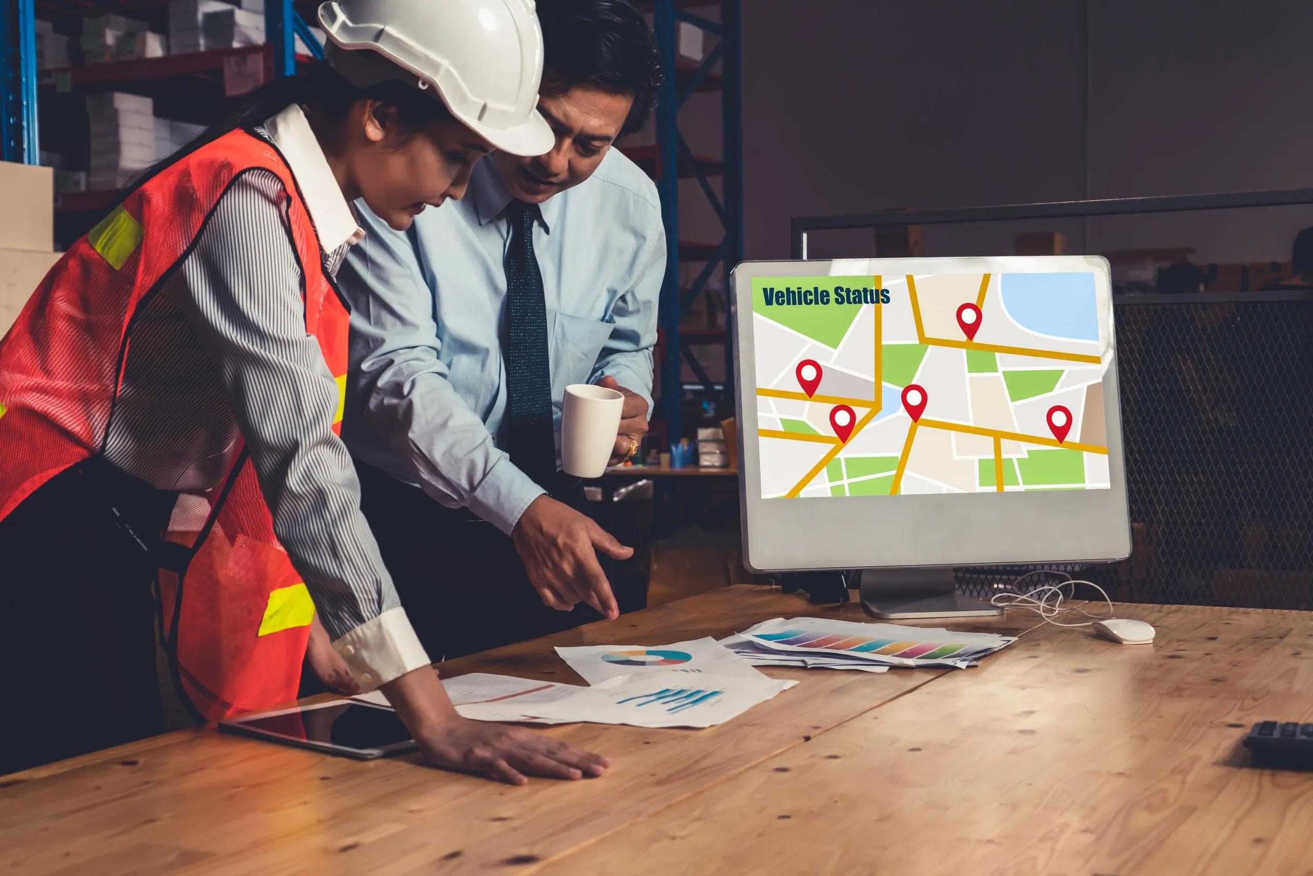
The rapid evolution of geospatial technology has transformed industries worldwide, revolutionizing the way we gather, analyze, and utilize spatial data. From urban planning to disaster management, geospatial solutions such as Geographic Information Systems (GIS), remote sensing, and GPS technology are now indispensable. However, as the demand for these solutions grows, a critical challenge emerges: the persistent skill gap in the geospatial workforce. This article explores the reasons behind these skill gaps and proposes strategies to build a competent and future-ready geospatial workforce.
Understanding the Skill Gaps in Geospatial Technology
Skill gaps in geospatial technology stem from several factors:
Rapid Technological Advancements : Innovations such as Artificial Intelligence (AI), Machine Learning (ML), and Digital Twins are reshaping geospatial practices. Many professionals find it challenging to keep pace with these advancements due to a lack of continuous learning opportunities.
Educational Mismatches : Academic curricula often lag behind industry needs. While universities focus on foundational concepts, industry applications demand proficiency in cutting-edge tools, programming languages, and interdisciplinary knowledge.
Limited Awareness and Accessibility : In many regions, geospatial technology remains underrepresented, resulting in a lack of awareness among students and professionals about career opportunities and requisite skills.
Inadequate Industry-Academia Collaboration : The disconnect between educational institutions and the geospatial industry has led to gaps in practical, hands-on training. Students often graduate with theoretical knowledge but lack the ability to solve real-world problems.
Geographical and Sectoral Disparities : Developing nations and underserved sectors like agriculture and public health often struggle to attract skilled geospatial professionals due to resource constraints and a lack of specialized training programs.
Strategies to Address Skill Gaps in Geospatial Technology
Bridging the skill gap requires a multi-pronged approach involving governments, academia, industry, and technology providers. Below are actionable strategies to build a competent geospatial workforce:
1. Modernizing Academic Curricula
Academic institutions play a pivotal role in shaping geospatial professionals. To align with industry demands:
Integrate Emerging Technologies : Curricula should include training on AI, ML, Internet of Things (IoT), UAVs, and Digital Twins.
Incorporate Practical Training : Hands-on labs, internships, and capstone projects in collaboration with industry partners can equip students with job-ready skills.
Interdisciplinary Approach : Programs should emphasize integrating geospatial knowledge with fields such as data science, environmental studies, and urban planning.
2. Fostering Industry-Academia Partnerships
Collaboration between educational institutions and geospatial companies can:
Enhance Practical Exposure : Companies can offer internships, mentorship programs, and industry visits.
Facilitate Curriculum Updates : Industry input can ensure that academic programs remain relevant.
Support Research and Development : Collaborative R&D initiatives can drive innovation and offer students opportunities to solve real-world problems.
3. Promoting Lifelong Learning
The dynamic nature of geospatial technology necessitates continuous learning:
Online Learning Platforms : Massive Open Online Courses (MOOCs) and specialized certifications can help professionals upskill.
Workshops and Webinars : Regular training sessions can disseminate knowledge about the latest trends and tools.
Employer-Sponsored Training : Organizations should invest in reskilling their workforce to retain talent and remain competitive.
4. Building Awareness and Accessibility
To attract a diverse workforce to geospatial careers:
Career Awareness Campaigns : Schools and colleges should host workshops and career fairs to showcase geospatial opportunities.
Scholarships and Grants : Financial support can encourage underrepresented groups to pursue geospatial education.
Regional Training Centers : Establishing accessible training centers can bridge the urban-rural divide in skill development.
5. Leveraging Advanced Technologies for Training
Emerging technologies can make geospatial training more effective:
Simulated Environments : Virtual Reality (VR) and Augmented Reality (AR) can create immersive learning experiences.
Gamification : Interactive and gamified learning modules can engage learners more effectively.
AI-Powered Personalized Learning : Adaptive learning platforms can tailor content to individual skill levels and learning speeds.
6. Standardizing Certification and Competency Frameworks
A standardized framework can ensure that professionals meet industry benchmarks:
Global Standards : Organizations such as the International Society for Photogrammetry and Remote Sensing (ISPRS) can lead efforts to standardize certifications.
Competency-Based Assessments : Evaluations should focus on practical problem-solving skills and tool proficiency.
Continuous Certification : Periodic recertification can encourage professionals to stay updated.
7. Encouraging Diversity and Inclusion
A diverse workforce can bring unique perspectives and drive innovation:
Targeted Outreach Programs : Initiatives should aim to involve women, minorities, and individuals from underprivileged backgrounds.
Flexible Learning Pathways : Part-time and online courses can cater to working professionals and non-traditional students.
Inclusive Work Environments : Companies should foster an inclusive culture that values diverse contributions.
8. Incentivizing Geospatial Careers
Governments and organizations can create incentives to attract talent:
Attractive Compensation Packages : Competitive salaries and benefits can draw skilled professionals.
Recognition and Awards : Acknowledging outstanding contributions can boost morale and visibility.
Loan Forgiveness Programs : Governments can offer loan forgiveness for students pursuing geospatial careers in critical sectors.
Case Studies and Success Stories
Examples from around the world highlight the impact of effective strategies:
National Geospatial Policy in India : India’s policy emphasizes skill development, research, and industry collaboration to build a robust geospatial ecosystem.
Geospatial Apprenticeship Program in the UK : This program blends academic learning with workplace training, creating a steady pipeline of skilled professionals.
African Drone and Data Academy : By offering training in UAV technology, this initiative addresses skill gaps in Africa while promoting local innovation.
The Way Forward
The geospatial sector is poised for exponential growth, but its potential can only be realized by addressing the underlying skill gaps. A collaborative approach involving all stakeholders—government, academia, industry, and technology providers—is essential. By modernizing curricula, fostering partnerships, promoting lifelong learning, and leveraging advanced technologies, we can build a competent geospatial workforce ready to tackle the challenges of the 21st century.
As geospatial technology becomes increasingly integrated into critical sectors such as healthcare, agriculture, and infrastructure, addressing skill gaps is not just a matter of workforce readiness but a strategic imperative for global development. With concerted efforts, the geospatial industry can unlock new possibilities, drive innovation, and create a more sustainable and connected world.