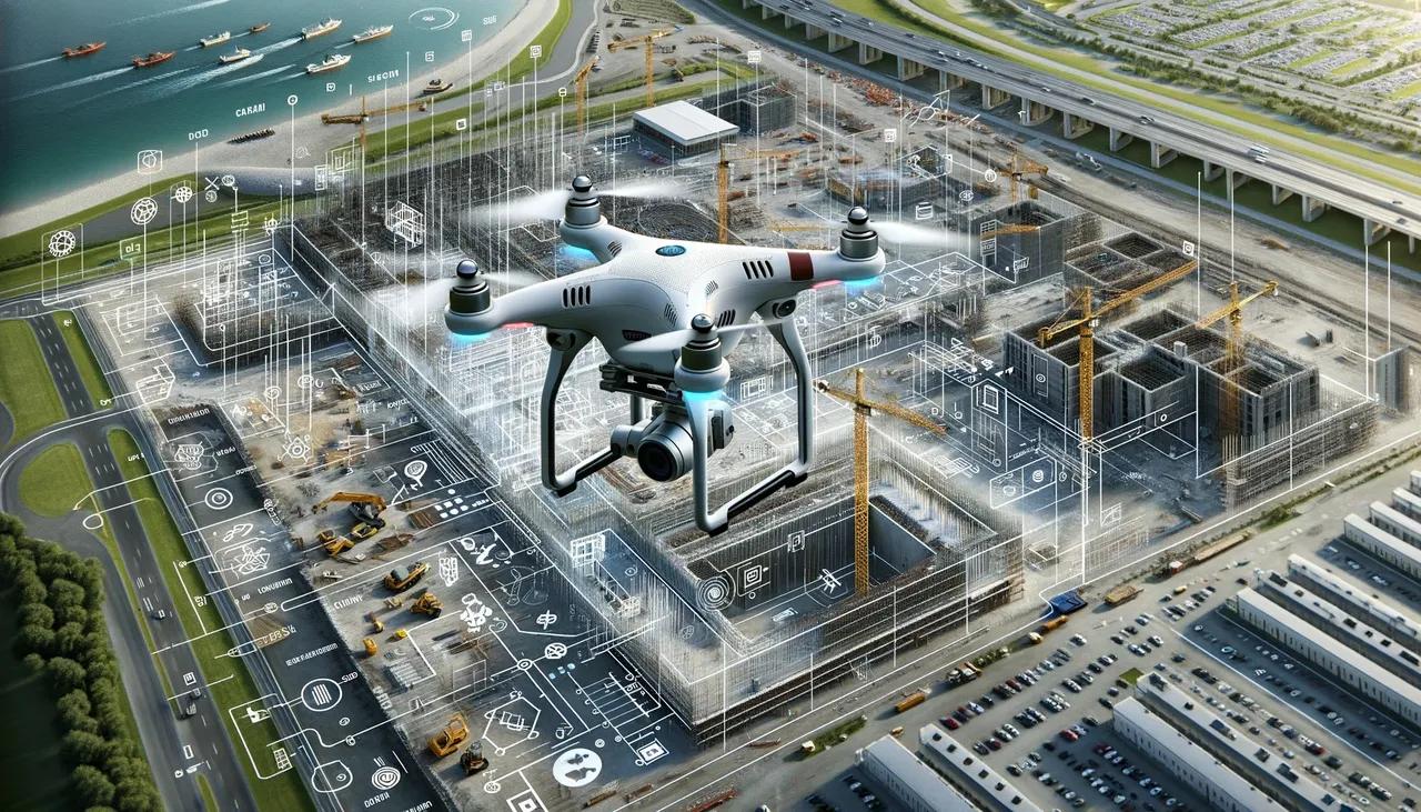
UAV capturing detailed data at a construction site for accuracy
Unmanned Aerial Vehicles (UAVs), commonly known as drones, have revolutionized various industries, and the construction sector is no exception. The integration of UAVs in construction processes has brought about significant improvements in accuracy, efficiency, and safety. This article explores strategies for leveraging UAV technology to achieve unparalleled accuracy in construction projects.
The Role of UAVs in Construction
UAVs serve multiple roles in construction, from site surveys and progress monitoring to inspection and quality control. Their ability to capture high-resolution aerial imagery and generate accurate 3D models makes them invaluable tools for enhancing precision throughout the construction lifecycle.
Key Strategies for Achieving Accuracy with UAVs
1. Precision Planning and Flight Path Optimization
Precision Planning: The first step in utilizing UAVs effectively is meticulous planning. This involves defining clear objectives, selecting appropriate UAV models, and determining the necessary sensors and payloads. Detailed planning ensures that UAV missions are tailored to the specific requirements of each construction project.
Flight Path Optimization: Optimizing the flight path is crucial for maximizing data accuracy. This involves using software tools to plan efficient flight routes that cover the entire construction site while minimizing overlaps and gaps. Automated flight planning tools can help create precise flight paths, ensuring consistent data collection.
2. Advanced Data Capture Techniques
High-Resolution Imaging: UAVs equipped with high-resolution cameras can capture detailed aerial images of construction sites. These images are essential for creating accurate 2D maps and 3D models. Utilizing cameras with advanced features like geo-tagging and real-time kinematic (RTK) positioning further enhances the accuracy of the captured data.
LiDAR Technology: Light Detection and Ranging (LiDAR) technology is a powerful tool for achieving high accuracy in topographic mapping. UAVs equipped with LiDAR sensors can generate precise 3D point clouds, even in challenging environments with dense vegetation or complex structures. LiDAR data is invaluable for creating accurate digital elevation models (DEMs) and conducting detailed site analyses.
3. Integration with BIM and GIS
Building Information Modeling (BIM): Integrating UAV data with BIM enhances the accuracy of construction planning and execution. UAVs can capture real-time data on site conditions, which can be compared with BIM models to identify discrepancies and deviations from the original design. This integration allows for timely adjustments and ensures that the construction adheres to the planned specifications.
Geographic Information Systems (GIS): GIS integration enables the spatial analysis of UAV data. By overlaying UAV-captured imagery and LiDAR data with GIS layers, construction professionals can gain insights into site conditions, terrain features, and potential obstacles. This spatial analysis supports accurate site assessments and informed decision-making.
4. Real-Time Monitoring and Reporting
Progress Monitoring: UAVs enable real-time monitoring of construction progress. By conducting regular aerial surveys, project managers can track the status of ongoing work, identify potential issues, and verify that construction activities align with the project schedule. This real-time data ensures that any deviations are promptly addressed, maintaining project accuracy and timelines.
Automated Reporting: Advanced UAV software solutions can automate the generation of reports based on the collected data. These reports provide detailed insights into site conditions, construction progress, and compliance with safety and quality standards. Automated reporting reduces the likelihood of human error and ensures consistent and accurate documentation.
5. Ensuring Data Accuracy and Integrity
Calibration and Validation: Regular calibration of UAV sensors and validation of data accuracy are essential for maintaining high precision. Calibration involves adjusting the UAV's sensors to ensure they produce reliable measurements. Validation includes cross-referencing UAV data with ground truth measurements to confirm its accuracy.
Data Processing and Analysis: Sophisticated data processing software plays a critical role in achieving accuracy. These tools can stitch together aerial images, generate 3D models, and analyze LiDAR data with high precision. Advanced algorithms and machine learning techniques enhance the accuracy of data interpretation, enabling construction professionals to make informed decisions based on reliable information.
6. Addressing Challenges and Mitigating Risks
Weather Considerations: Weather conditions can significantly impact the accuracy of UAV data. Adverse weather, such as high winds, rain, or fog, can affect flight stability and data quality. Implementing weather monitoring protocols and scheduling UAV flights during optimal conditions are essential for ensuring data accuracy.
Regulatory Compliance: Compliance with aviation regulations and obtaining necessary permits are crucial for safe and legal UAV operations. Adhering to regulatory requirements ensures that UAV flights are conducted within legal boundaries, minimizing the risk of legal issues and enhancing operational safety.
Conclusion
The integration of UAV technology in construction offers transformative benefits in terms of accuracy, efficiency, and safety. By implementing strategies such as precision planning, advanced data capture techniques, integration with BIM and GIS, real-time monitoring, and ensuring data accuracy and integrity, construction professionals can harness the full potential of UAVs to achieve unparalleled precision in their projects.
UAVs are not just tools for capturing aerial imagery; they are integral components of a comprehensive strategy to enhance accuracy in construction. As technology continues to evolve, the capabilities of UAVs will expand, further solidifying their role as essential assets in the construction industry. Embracing these strategies will enable construction companies to deliver projects with higher accuracy, reduced costs, and improved timelines, ultimately contributing to the advancement of the construction sector.