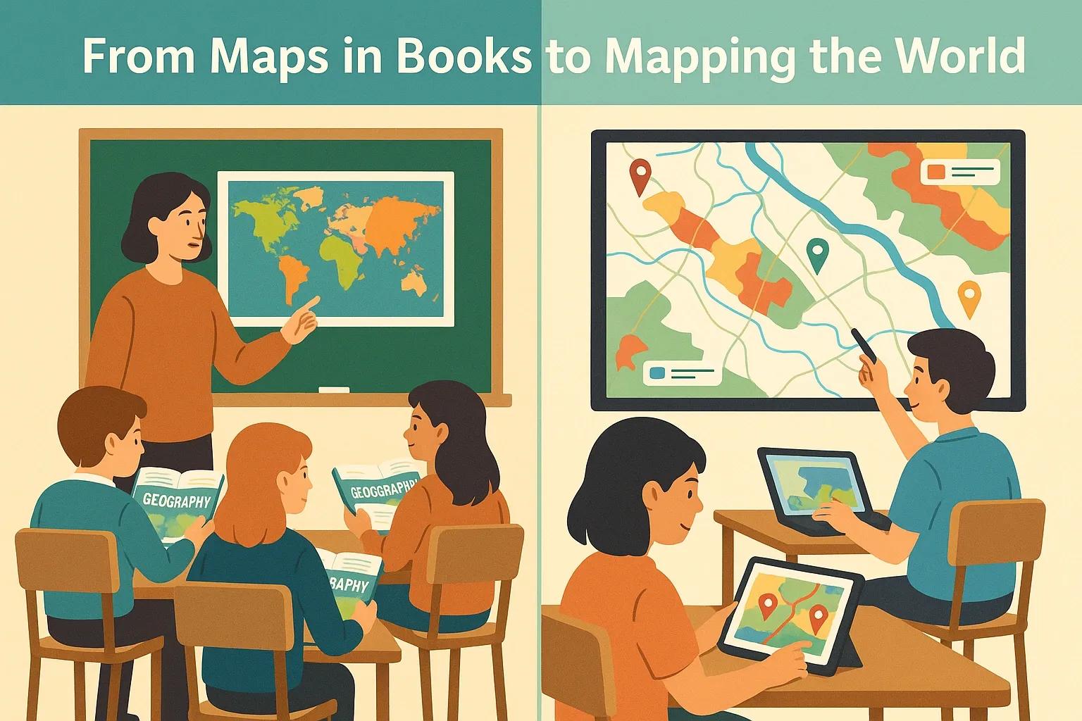
In an increasingly interconnected and digital world, the ability to understand and interpret spatial data is becoming essential. From urban planning and disaster response to environmental monitoring and logistics, spatial thinking underpins a wide range of applications. Yet, our education systems have been slow to integrate this vital skill into early learning stages. With India’s National Education Policy (NEP) 2020 advocating for multidisciplinary, skills-based learning and technology integration, the time is ripe to introduce spatial literacy, particularly Geographic Information Systems (GIS), into school curriculums.
This article outlines why spatial literacy matters now, the role GIS can play in enhancing critical thinking and real-world problem-solving, and how NEP-aligned modules can be leveraged for effective integration.
What is Spatial Literacy?
Spatial literacy refers to the ability to understand, interpret, and analyze spatial information, the knowledge about the location, scale, patterns, and relationships between people, places, and environments. It goes beyond geography as a subject and enters domains such as data visualization, environmental science, urban studies, agriculture, and public health.
GIS (Geographic Information Systems) is one of the most effective tools for building spatial literacy. It helps in capturing, storing, analyzing, and visualizing geospatial data. For students, learning GIS means learning to think critically about how space and location influence phenomena in the real world.
Why Now? The Timing Is Critical
1. NEP 2020 Emphasis on Experiential and Interdisciplinary Learning
NEP 2020 calls for a shift from rote memorization to experiential and inquiry-based learning. It advocates integrating STEM with humanities, using technology to make learning contextual and applied. Spatial literacy fits naturally into this framework. It encourages students to think critically, ask questions, analyze patterns, and find solutions using real-world data.
2. India’s Geospatial Economy Is Growing Rapidly
With the Government of India liberalizing geospatial data and promoting indigenous solutions under the Atmanirbhar Bharat initiative, the geospatial industry is seeing increased investment and application across sectors. According to the Geospatial Artha report (2022), the Indian geospatial economy is expected to grow to ₹1 lakh crore by 2030. Building future-ready talent starts with early exposure in schools.
3. Digital Technologies Are Reshaping Professions
From agriculture drones and smart cities to climate mapping and disaster resilience, digital technologies with spatial intelligence are defining modern professions. Equipping students with spatial literacy ensures they are prepared for careers in data science, remote sensing, logistics, environmental planning, and more.
GIS and Spatial Thinking in the Classroom: Benefits
1. Enhances Critical Thinking and Problem Solving
GIS enables students to explore spatial patterns, such as why certain diseases are prevalent in specific areas or how urban heat islands develop. It trains them to investigate causes, map patterns, and propose data-driven solutions. This aligns with NEP’s vision of outcome-based and project-based learning.
2. Supports Multidisciplinary Learning
Spatial data integrates easily with subjects like science, history, mathematics, economics, and environmental studies. For instance, a history project on the Indus Valley Civilization can be enriched by mapping archaeological sites. Similarly, a science project on pollution can involve mapping air quality data across the city.
3. Builds Digital and Data Literacy
As students learn to collect, interpret, and visualize data through maps, they develop core digital skills. Basic exposure to tools like QGIS or even simplified platforms like Google Earth or Story Maps builds foundational digital fluency, a skill set prioritized in NEP's vision for digital empowerment.
4. Encourages Local Contextual Learning
NEP promotes learning rooted in local context. GIS helps students map their communities, identifying local water bodies, schools, road networks, pollution hotspots, and more. This increases awareness of civic and environmental issues and encourages social responsibility.
How Can GIS Be Integrated into NEP-Aligned Curriculum?
1. Start with Foundational Concepts in Middle School (Classes 6–8)
Introduce the concept of space , place , and scale in geography lessons.
Use free, intuitive platforms such as Google My Maps for projects like mapping home-to-school routes or community resources.
Encourage group activities like preparing thematic maps (e.g., rainfall, population density, pollution zones).
2. Introduce Practical GIS Tools in Secondary School (Classes 9–10)
Begin with simplified GIS tools like ArcGIS Online or QGIS.
Include projects on disaster mapping, deforestation, urban growth, or local health data.
Align assessments to practical outcomes, map creation, interpretation, and presentations.
3. Encourage Advanced GIS Applications in Higher Secondary (Classes 11–12)
Enable subject electives that integrate GIS with environmental science, economics, or computer science.
Introduce open datasets from ISRO, Bhuvan, or State GIS portals.
Collaborate with local urban bodies or NGOs for live data projects.
Infrastructure and Teacher Training: Key Enablers
For successful integration of spatial literacy, the following support mechanisms are essential:
1. Teacher Capacity Building
Many teachers may not have prior exposure to GIS tools or spatial data concepts. A dedicated capacity-building program, possibly in partnership with geospatial agencies like NRSC or academic institutions, should be introduced. Train-the-trainer models, hands-on workshops, and online modules can ensure scalability.
2. Access to Devices and Internet
NEP envisions greater digital inclusion. Spatial learning requires access to internet-enabled devices and digital content. Ensuring equitable access across urban and rural schools is vital for adoption at scale.
3. Curriculum Framework Alignment
State and central education boards (e.g., CBSE, ICSE) need to formally integrate spatial literacy goals into their subject-wise learning outcomes. NCERT can develop guidelines and textbook content that embed GIS examples and exercises.
4. Partnerships with Industry and Academia
Industry-academia collaborations can bring real-world datasets, problem statements, and mentorship into schools. CSR-funded projects can sponsor school-level GIS labs or competitions. Startups working in the geospatial domain can provide tools and simplified interfaces for schools.
Global Precedents and Success Stories
United States : The Esri K–12 GIS program has helped thousands of American schools implement spatial learning using cloud-based GIS tools and teacher training resources.
UK : The Royal Geographical Society’s GIS in Education program integrates geospatial learning across age groups with downloadable lesson plans and case studies.
India : States like Kerala and Telangana have piloted GIS-based learning modules through initiatives like SchoolGIS and GeoKeralam, showing early signs of success.
Conclusion
Spatial literacy is no longer optional, it’s foundational. In a world where decisions are increasingly driven by location intelligence, equipping students with GIS skills will ensure they become informed citizens and future-ready professionals.
India’s NEP 2020 provides an unprecedented opportunity to rethink how we teach geography, data, and digital skills. By embedding GIS into school curriculums, not as a separate subject but as an enabler across disciplines, we can foster analytical, spatial, and civic sensibilities from an early age.
The time to act is now. Schools, educators, policymakers, and the geospatial community must collaborate to make spatial literacy an integral part of India’s education future.