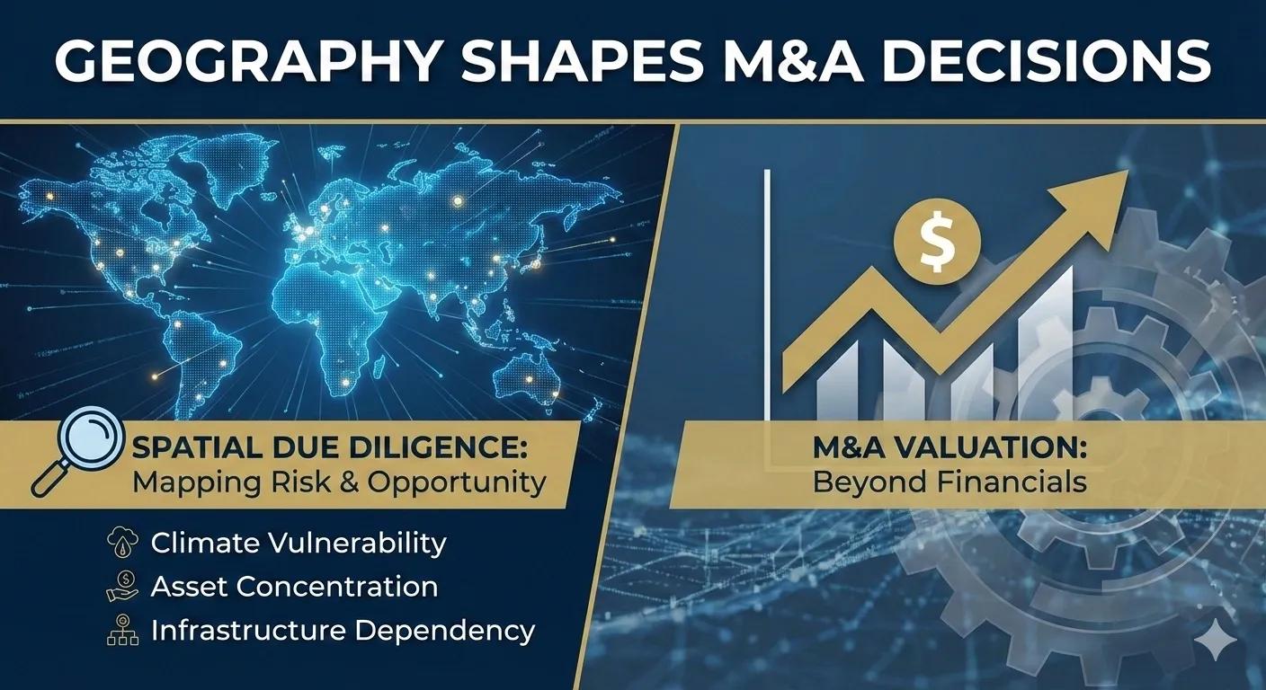
Most due diligence ignores geography
In mergers and acquisitions, financials are dissected.
Legal exposure is reviewed.
Operational performance is audited.
But geography?
It is often reduced to a location list in an appendix.
Yet every acquisition carries spatial exposure:
Asset concentration
Climate vulnerability
Regulatory zoning
Infrastructure dependency
Supply chain corridors
Demographic shifts
Ignoring geography in M&A is not neutral.
It is blind risk acceptance.
What is Spatial Due Diligence?
Spatial Due Diligence (SDD) is the structured evaluation of geographic exposure embedded within a target company’s assets, operations, and growth profile.
It answers questions like:
How geographically concentrated are revenue-generating assets?
Are critical operations clustered in correlated risk zones?
What climate exposure does the portfolio carry?
How diversified is the infrastructure footprint?
Where are regulatory constraints tightening?
Traditional due diligence looks at numbers.
Spatial due diligence looks at where those numbers live.
Why geography alters valuation
Two companies with identical EBITDA can carry radically different spatial risk profiles.
Company A:
45% of assets located in flood-prone coastal zones
Supply chain routed through a single high-risk corridor
Company B:
Assets diversified across low-volatility regions
Redundant infrastructure access
Financials may match.
Resilience does not.
Spatial exposure directly influences:
Insurance costs
Capital reinforcement needs
Regulatory vulnerability
Long-term impairment risk
Valuation without geography is incomplete.
Key Spatial Risk Indicators in M&A
Structured spatial evaluation can include:
1️⃣ Geographic Revenue Concentration Index (GRCI)
Percentage of revenue derived from top 3 regions.
2️⃣ Climate Vulnerability Overlay Score (CVOS)
Exposure of critical assets to climate risk scenarios.
3️⃣ Infrastructure Dependency Index (IDI)
Reliance on single transportation or utility corridors.
4️⃣ Regulatory Exposure Density (RED)
Asset concentration in high-compliance or volatile regulatory zones.
5️⃣ Spatial Diversification Ratio (SDR)
Geographic distribution balance across risk zones.
These metrics convert geographic patterns into investment intelligence.
A practical scenario
Consider an infrastructure acquisition in an emerging market.
Without spatial due diligence:
Revenue growth projections look strong
Asset base appears stable
With spatial analysis:
60% of facilities lie in high seismic zones
Urban expansion is encroaching regulatory buffers
Climate projections indicate increased flood frequency
Post-acquisition capital requirements rise unexpectedly.
Geography was visible, but not interrogated.
How spatial due diligence strengthens negotiation
When spatial exposure is quantified:
Valuation adjustments become evidence-based
Risk-weighted pricing improves
Post-merger capital planning becomes proactive
Insurance leverage strengthens
Geographic intelligence becomes negotiating power.
The integration challenge
For spatial due diligence to influence M&A:
Geographic scoring must integrate with financial modeling
Exposure thresholds must be defined pre-acquisition
Risk committees must require geographic review
Scenario simulations must inform board decisions
Without structured integration, geography remains narrative.
Deals close on numbers.
Numbers must reflect exposure.
Why this matters more now
Increasing climate volatility.
Urban densification.
Infrastructure interdependence.
Regulatory tightening.
All amplify geographic differentiation.
The next decade will not punish weak balance sheets alone.
It will punish geographically fragile portfolios.
The monetization bridge
As M&A activity accelerates across infrastructure, energy, real estate, and logistics, organizations increasingly seek structured spatial due diligence frameworks and scalable geospatial analytics platforms that integrate exposure indices directly into valuation models, risk committees, and board-level acquisition decisions.
The competitive edge lies in seeing geographic risk before it becomes financial impairment.
Looking ahead
In the future, due diligence will not be considered complete without:
Climate-adjusted exposure metrics
Geographic concentration analysis
Infrastructure redundancy evaluation
Spatial scenario simulation
The question will shift from:
“What are we acquiring?”
to
“Where are we acquiring, and what exposure comes with it?”
Closing insight
Every asset has a location.
Every location carries risk and opportunity.
If M&A evaluates capital without geography, it evaluates only half the equation.
Spatial due diligence is not optional.
It is valuation clarity.