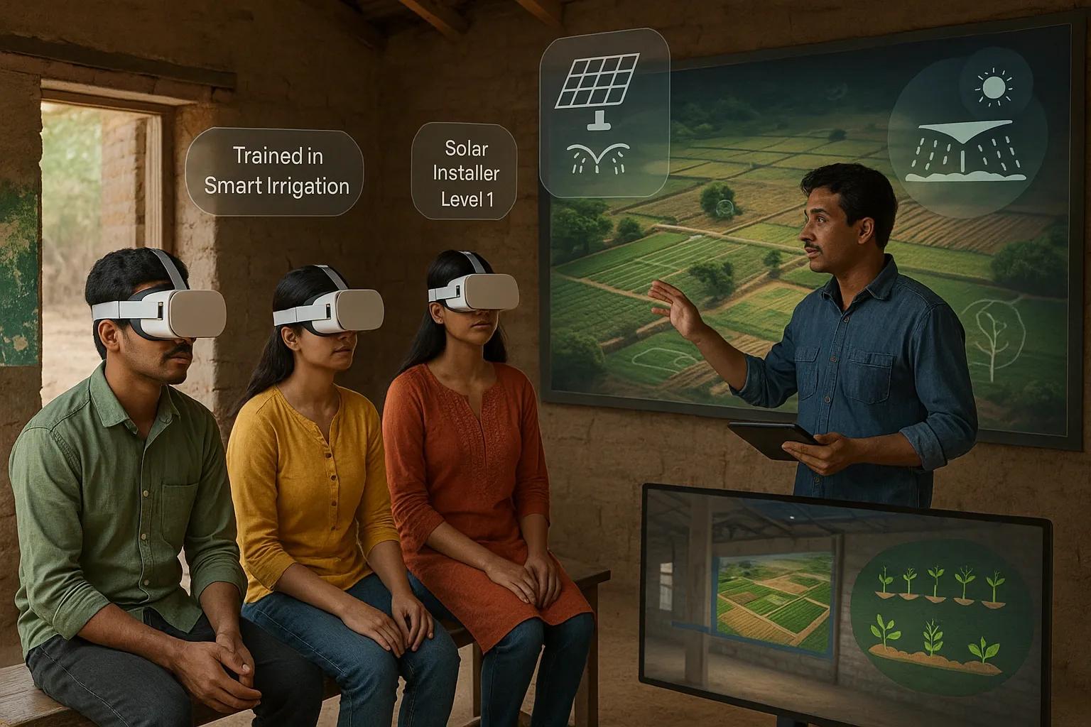
Rural areas in India and across the globe face persistent challenges in accessing quality skill development opportunities due to limited infrastructure, lack of expert trainers, and geographic isolation. With the increasing digital penetration and falling costs of mobile devices and internet services, new pathways are emerging to bridge this gap. One such path is through spatial computing, which leverages geospatial technologies, extended reality (XR), and location-based intelligence to create immersive, contextual, and effective learning environments.
Spatial computing, in essence, combines the physical and digital worlds by capturing spatial data and creating interactive experiences. When applied to skill development, it can provide place-based, immersive, and hands-on training, critical for rural learners who benefit more from visual and experiential modes of learning than from traditional text-heavy instruction.
The Foundation of Spatial Computing
Spatial computing integrates a range of technologies:
Geospatial data : Satellite imagery, drone-captured data, and GIS layers provide high-resolution context of real-world environments.
Digital twins and 3D mapping : These create virtual replicas of physical assets such as farmlands, vocational centers, factories, or rural infrastructures.
XR (Extended Reality) : Encompassing AR (Augmented Reality), VR (Virtual Reality), and MR (Mixed Reality), XR enables users to interact with digital content in spatially aware environments.
Edge computing and IoT : Devices and sensors embedded in physical locations can trigger spatially aware learning content based on user proximity or activity.
AI-driven personalisation : AI models analyze learner engagement and adapt the training modules based on skill gaps and user pace.
Key Use Cases for Rural Skill Development
1. Agriculture and Allied Activities
Using spatial computing, farmers and agri-workers can interact with 3D models of soil layers, crop health, irrigation systems, and pest zones overlaid on their own land via smartphones or headsets.
AR modules : Show step-by-step instructions on operating farm machinery or applying bio-fertilizers, directly over the real objects.
VR training : Simulate climate scenarios, pest attacks, or smart irrigation techniques to prepare farmers for adaptive agriculture practices.
Location-based feedback : AI-enabled drone surveys combined with learning apps can push personalized advisories and micro-lessons to farmers based on their geotagged field conditions.
2. Construction and Vocational Trades
Rural youth being trained in plumbing, electrical work, carpentry, or masonry often lack exposure to real-life infrastructure settings. Spatial computing helps fill this gap.
Digital twins of buildings : Allow learners to navigate and interact with virtual construction sites or interiors.
Mixed Reality : Offers overlay of wiring schematics, plumbing layouts, or tool instructions on physical mock-ups during hands-on workshops.
Geofenced skill assessments : Trainees can perform tasks at physical training sites, and the system can record their precision and timing using sensors and spatial markers.
3. Healthcare and Emergency Services
Community health workers, midwives, and sanitation workers in rural areas can benefit from immersive, location-contextual training:
AR overlays : On physical mannequins or real bodies to teach procedures like administering injections or treating wounds.
VR simulations : For disaster response training, showing flood-affected zones, or simulating delivery of first-aid in road accidents.
Location-aware content : Can adapt based on region-specific disease outbreaks or terrain-related risks (e.g., snake bites in forest belts).
Building the Training Infrastructure
1. XR-Enabled Learning Centers
Deploying XR learning pods at Panchayat Bhavans, ITIs, or Common Service Centers (CSCs) can allow multiple learners to access spatial training sessions.
Equipped with affordable VR headsets, projectors, and geospatial content libraries.
Portable kits (battery-powered) for remote tribal regions.
Downloadable modules for offline usage in low-connectivity areas.
2. Mobile Training Units
Mobile vans outfitted with XR gear, high-resolution drone imagery of local regions, and IoT-connected kits can bring spatial learning to village doorsteps.
Trainers can conduct sessions using local case studies mapped with satellite images.
Real-time assessments using gesture tracking, voice commands, and spatial interactions.
3. Gamified Learning Apps with GIS Integration
Interactive mobile games using real-world maps (via OpenStreetMap or Indian Bhuvan) allow learners to engage with skill modules mapped to their own geographies.
For example, identifying nearby water bodies and practicing purification techniques or learning solar panel alignment using real-time sun path overlays on rooftops.
Challenges and Mitigation Strategies
Challenge - Mitigation
High cost of XR devices - Use mobile-based AR, community-shared VR kits, or cardboard headsets
Limited digital literacy - Icon-based interfaces, local language voiceovers, and gesture-based controls
Connectivity in remote regions - Enable offline-first apps and local content caching
Lack of standard content - Partner with skilling boards (e.g., NSDC, Skill India) to develop modular XR content aligned with NOS
Resistance to tech adoption - Pilot with success stories in each district, involving local champions
Role of Stakeholders
Government : Integrate spatial computing into PMKVY, Digital India, and state-specific rural skilling schemes. Provide subsidies for XR kits and satellite connectivity.
Private Sector : EdTech and Geospatial startups can collaborate to localize content, develop AR/VR modules, and offer low-cost licensing to rural training institutions.
Academia : Research institutions can create open-source XR content mapped to NCVT/NSQF frameworks.
NGOs : Grassroots organizations can help in mobilizing communities, identifying local needs, and facilitating pilot deployment.
Future Outlook
The convergence of spatial computing, AI, and XR is poised to redefine rural education and skill development over the next decade. As the BharatNet initiative expands broadband access and low-orbit satellite internet becomes viable, spatial learning will be more accessible even in the remotest villages.
Moreover, real-time learning analytics captured via these immersive systems can feed into national dashboards, helping policymakers monitor skilling outcomes across geography, gender, and domain.
The future rural workforce will not only be skilled in traditional domains but also spatially aware, digitally trained, and more employable in a 4IR economy, whether in agriculture-tech, smart infrastructure, or remote healthcare services.
Conclusion
Spatial computing is not just a technological shift; it is a foundational enabler of equitable education and economic participation. By bringing immersive, map-based, and context-aware training directly to rural populations, we unlock a new model of skilling that is visual, interactive, and locally relevant.
In India’s journey toward inclusive digital empowerment, spatial computing and XR technologies can ensure no village is left behind, and that every youth, regardless of their location, has the tools to learn, grow, and contribute.