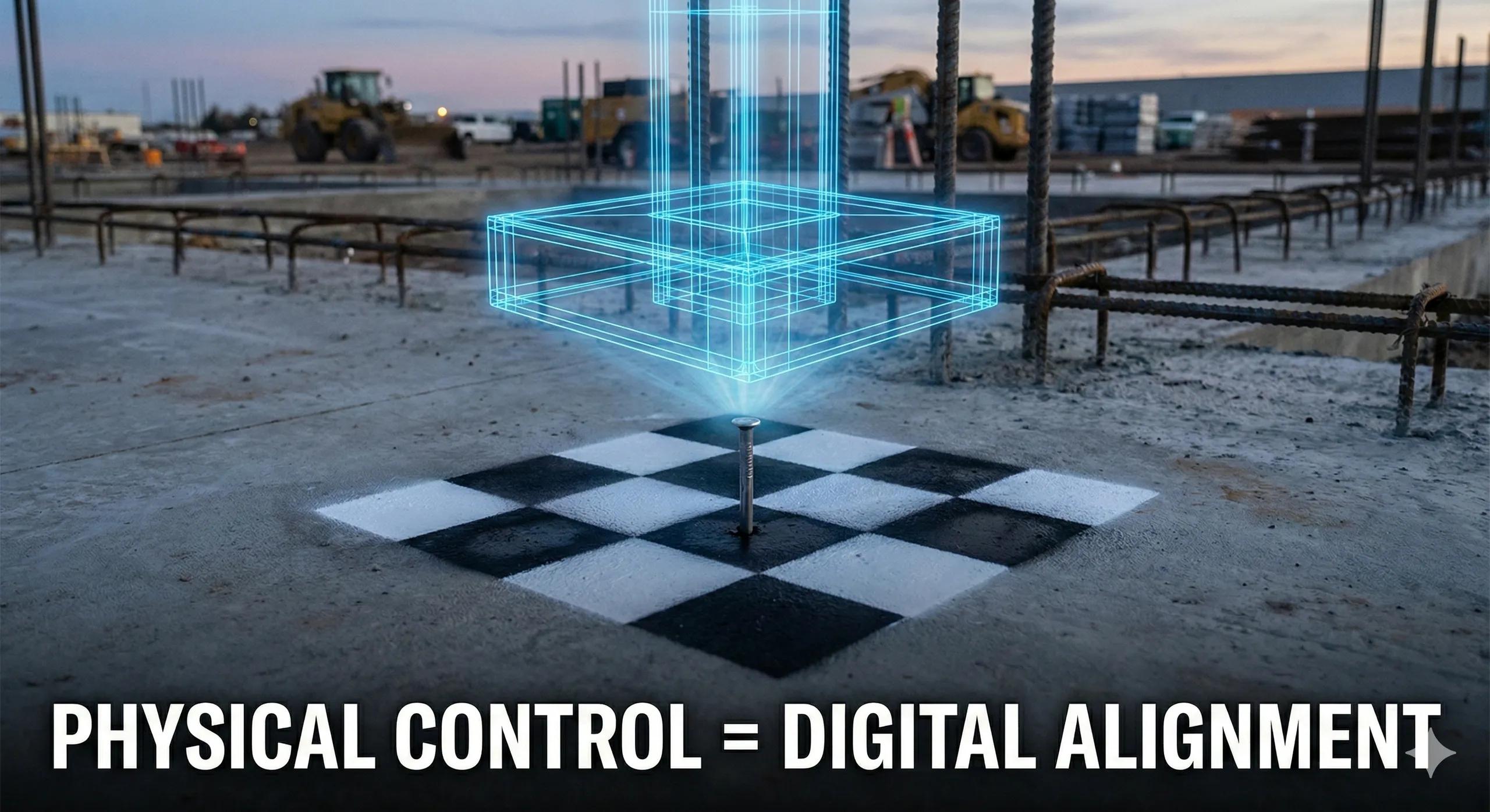
Reality capture only becomes useful for BIM-to-field workflows when it is spatially trustworthy . Drones may fly perfectly and LiDAR scanners may capture millions of points, but without properly established Ground Control Points (GCPs) and Checkpoints , the resulting data can drift, sometimes subtly, sometimes catastrophically.
Misaligned reality data creates a dangerous illusion of accuracy. Models appear to line up, progress seems validated, and quantities look reasonable, until installations don’t fit, tolerances fail, or layout errors appear on site.
This article explains why GCPs and checkpoints are foundational to BIM alignment , how to set them up correctly, and how to use them to ensure reality capture supports construction decisions rather than undermining them.
1. Why GCPs Matter More Than the Scanner or Drone
Many teams focus on:
UAV specifications
LiDAR accuracy ratings
Camera resolution
Yet the most common source of error is not the sensor, it is control .
Without control:
UAV point clouds float relative to BIM
LiDAR scans align locally but not globally
Drone and scanner datasets disagree
Deviation analysis becomes unreliable
GCPs anchor digital data to physical truth .
2. GCPs vs Checkpoints: Understanding the Difference
Although often confused, GCPs and checkpoints serve different purposes .
Ground Control Points (GCPs)
Used to georeference reality capture
Tie data to a known Coordinate Reference System (CRS)
Influence the adjustment of the dataset
Checkpoints
Used to verify accuracy , not adjust it
Excluded from processing
Reveal horizontal and vertical error
If you only use GCPs and no checkpoints, you are assuming accuracy instead of measuring it .
3. When GCPs Are Mandatory (And When They’re Not)
GCPs Are Mandatory When:
✔ Aligning UAV data to BIM models
✔ Integrating drone + LiDAR datasets
✔ Performing deviation or tolerance checks
✔ Supporting layout or machine control
✔ Validating as-built geometry
GCPs May Be Reduced When:
Using RTK/PPK drones for visual progress only
Performing qualitative monitoring
Working outside BIM workflows
The moment data is used to make construction decisions , GCPs are non-negotiable.
4. How Many GCPs Are Enough?
There is no universal number, but there are principles.
Recommended Minimum
Small sites: 5–7 GCPs
Medium sites: 8–12 GCPs
Large or linear sites: 12+ GCPs
Distribution Rules
Place GCPs around the perimeter
Include interior points
Avoid clustering
Cover elevation changes
A poorly distributed network is worse than having fewer, well-placed points.
5. Checkpoints: The Truth Serum of Reality Capture
Checkpoints answer one question:
How wrong could this data be?
Best Practices
20–30% of total control points should be checkpoints
Spread evenly across the site
Cover vertical variation
Never reuse as GCPs
Checkpoint reports should always be reviewed before BIM alignment.
6. Survey Accuracy: The Silent Dependency
GCP accuracy is only as good as the survey behind it.
Key Requirements
GNSS-based survey tied to project CRS
Clear documentation of coordinate system
Stable, durable physical markers
Known vertical datum
Unverified survey control introduces compounded error.
7. Integrating GCPs With Terrestrial LiDAR
For LiDAR:
Targets or spheres must be tied to survey control
Registration must respect global coordinates
Cloud-to-cloud alignment alone is insufficient
LiDAR without control produces locally precise but globally incorrect models.
8. BIM Alignment Workflow (Best Practice)
A reliable workflow:
Establish project CRS
Survey GCPs and checkpoints
Capture UAV and/or LiDAR data
Process with GCP-constrained adjustment
Validate using checkpoints
Align BIM to verified reality data
Perform deviation analysis
Skipping any step compromises trust.
9. Common GCP & Checkpoint Mistakes
Using visual markers without surveying them
Reusing the same points as GCPs and checkpoints
Poor vertical control
Assuming RTK eliminates the need for checkpoints
Ignoring checkpoint reports
Each mistake creates silent error.
10. Why This Matters for BIM-to-Field Success
When GCPs and checkpoints are done correctly:
BIM alignment is reliable
Deviations are measurable
Layout errors reduce
Trust in digital workflows increases
Reality capture supports decisions
When they are ignored:
Teams argue about accuracy
Field confidence erodes
BIM adoption stalls
Conclusion
Ground Control Points and checkpoints are not survey formalities, they are decision enablers .
They determine whether reality capture:
Supports layout and installation
Enables deviation analysis
Feeds digital twins
Or remains a visual artifact
In BIM-to-field workflows, alignment is everything .
And alignment starts on the ground, not in software.
If reality capture is part of your construction process, GCPs and checkpoints are not optional, they are the foundation of trust.