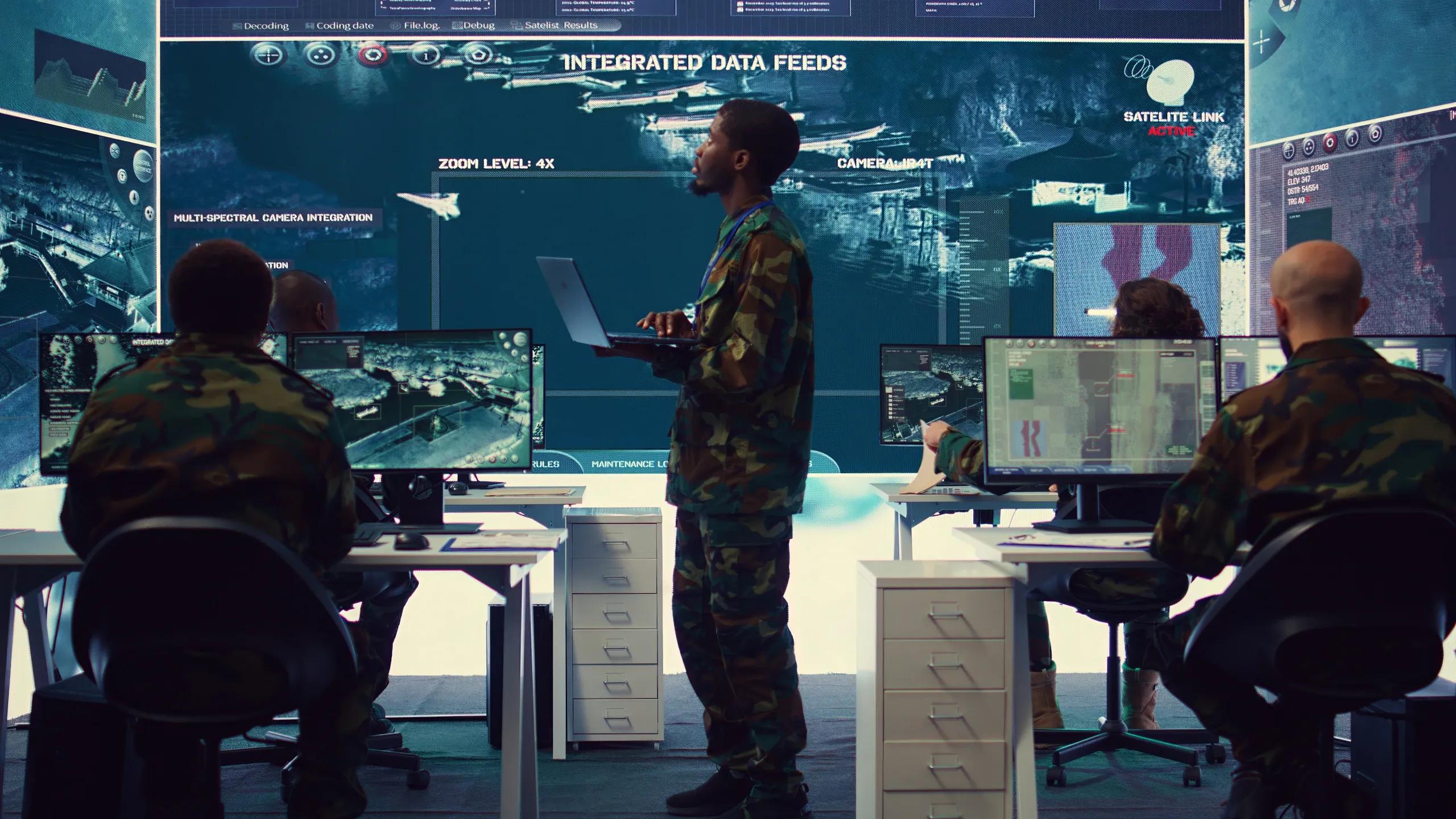
Dynamic geospatial intelligence (GEOINT) plays a pivotal role in modern military and security operations. This discipline involves the collection, analysis, and dissemination of geospatial data, ranging from satellite imagery and aerial reconnaissance to real-time sensor feeds, to provide actionable insights. In a rapidly changing threat landscape, dynamic GEOINT empowers decision-makers with the spatial and temporal context necessary to respond effectively to emerging situations.
Integration of Real-Time Data Sources
Modern defense systems integrate data from multiple sources to form a comprehensive geospatial picture. Key contributors include:
Satellite Imagery: High-resolution satellite images provide wide-area coverage. They are essential for mapping terrain, identifying infrastructure, and monitoring movement in remote or inaccessible regions.
Unmanned Aerial Vehicles (UAVs): Drones offer real-time aerial surveillance. They are particularly useful in areas where ground access is limited or risky.
Ground-Based Sensors: Radar, LiDAR, and other sensor technologies gather information on vehicle movements, environmental conditions, and potential threats.
Internet of Things (IoT): Connected devices contribute localized data, creating a network of information that can pinpoint events such as breaches or unauthorized movements.
The synthesis of these data sources into dynamic GEOINT platforms facilitates a continuously updated operational picture. Advanced algorithms process vast amounts of information in real time, highlighting anomalies and potential security threats.
Enhancing Situational Awareness
The primary objective of dynamic geospatial intelligence is to enhance situational awareness. For military and security forces, situational awareness is crucial for:
Threat Identification: By analyzing geospatial data, operators can quickly identify suspicious movements, unusual patterns, or the deployment of enemy assets. This capability is especially critical in border surveillance and counter-insurgency operations.
Force Deployment: Command centers utilize real-time maps to determine optimal positioning of assets. This ensures that forces are strategically located to respond to threats, protect critical infrastructure, and maintain control over key areas.
Resource Management: Dynamic GEOINT supports logistics and supply chain management by tracking the movement of supplies and identifying potential bottlenecks in hostile environments.
Real-time maps enriched with dynamic data allow decision-makers to visualize complex environments clearly and act swiftly in response to changing conditions.
Applications in Military Operations
Dynamic geospatial intelligence is integrated into several core military functions. These applications include:
Operational Planning and Targeting: Before and during operations, commanders rely on dynamic GEOINT to plan routes, select targets, and minimize collateral damage. Detailed maps that include up-to-date intelligence on enemy positions and environmental factors improve mission accuracy.
Battle Damage Assessment: Post-operation, GEOINT helps assess the impact of strikes and other military actions. By comparing pre- and post-event imagery, analysts can evaluate the success of a mission and adjust future strategies.
Force Protection: In environments where threats are constantly evolving, real-time geospatial intelligence provides early warning of enemy activity. This capability is essential for protecting personnel and assets, particularly in volatile conflict zones.
Intelligence, Surveillance, and Reconnaissance (ISR): Dynamic GEOINT is a cornerstone of ISR operations. Continuous monitoring of enemy movements and environmental changes provides a real-time feed of actionable intelligence.
Applications in Homeland Security and Border Control
Beyond traditional military operations, dynamic geospatial intelligence is integral to homeland security efforts:
Border Surveillance: Real-time geospatial data helps monitor and secure national borders. By integrating data from satellites, drones, and ground sensors, security forces can detect and respond to unauthorized crossings.
Disaster Response and Management: GEOINT is used to assess damage during natural disasters or terrorist attacks. Real-time maps assist emergency services in planning evacuation routes, allocating resources, and identifying safe zones.
Critical Infrastructure Protection: Facilities such as power plants, transportation hubs, and government buildings benefit from GEOINT. By continuously monitoring the surroundings, security forces can detect potential threats and preemptively secure vulnerable assets.
The fusion of multiple data streams into a coherent geospatial framework enhances the ability of security forces to safeguard communities and maintain national security.
Technological Advancements Supporting Dynamic GEOINT
The evolution of dynamic geospatial intelligence is closely linked to technological progress. Key advancements include:
Machine Learning and Artificial Intelligence (AI): These technologies enable rapid processing and analysis of large datasets. AI-driven algorithms can detect patterns and anomalies that might be missed by human analysts. This capability enhances the speed and accuracy of threat identification.
Cloud Computing: Cloud platforms support the massive data storage and processing needs of dynamic GEOINT systems. They facilitate the sharing of information across different units and agencies, ensuring that all stakeholders have access to the most current data.
High-Speed Communication Networks: Robust communication systems are essential for transmitting data from remote sensors, drones, and satellites to central command centers. Advancements in communication technology ensure that information is relayed in real time, enabling prompt decision-making.
Data Fusion Techniques: Modern GEOINT systems combine data from disparate sources into a unified format. This fusion of spatial, temporal, and contextual information creates a more accurate and detailed operational picture.
These technologies contribute to a dynamic GEOINT ecosystem that is resilient, responsive, and capable of supporting a wide range of defense and security applications.
Challenges and Considerations
While dynamic geospatial intelligence offers significant advantages, its implementation also presents challenges:
Data Overload: The sheer volume of data generated by various sensors and platforms can overwhelm systems if not properly managed. Effective data filtering and prioritization are essential to ensure that critical information is not lost in the noise.
Interoperability: Integrating data from different sources and ensuring that various systems can communicate seamlessly is a constant challenge. Standardized protocols and platforms are necessary to maintain data consistency and reliability.
Cybersecurity: GEOINT systems are vulnerable to cyberattacks, which can compromise the integrity of the data. Robust cybersecurity measures are vital to protect sensitive information and ensure the reliability of the intelligence provided.
Cost and Resource Allocation: Deploying and maintaining advanced GEOINT systems require significant investment. Balancing the cost of technology with the operational benefits it delivers is an ongoing concern for defense budgets.
Addressing these challenges involves continuous research, development, and collaboration among defense agencies, technology providers, and academic institutions.
Future Trends in Dynamic Geospatial Intelligence
The future of dynamic GEOINT is likely to be shaped by ongoing technological innovations and evolving security threats. Anticipated trends include:
Enhanced Predictive Analytics: With improvements in machine learning, dynamic GEOINT systems will be better equipped to predict enemy movements and potential threats before they materialize.
Integration with Autonomous Systems: Autonomous vehicles and drones will increasingly collaborate with GEOINT systems. This integration will allow for more flexible and responsive operations, particularly in high-risk environments.
Augmented Reality (AR) and Virtual Reality (VR): These technologies may be used to visualize geospatial data in immersive ways, providing operators with intuitive interfaces to interact with complex datasets.
Global Collaboration: As threats become more transnational, there will be a greater need for international cooperation in sharing geospatial data. Collaborative platforms will help unify efforts across borders and agencies.
These trends point to a future where dynamic geospatial intelligence becomes even more integral to defense and security operations.
Conclusion
Dynamic geospatial intelligence represents a transformative advancement in the way military and security forces operate. By integrating real-time data from diverse sources, GEOINT provides an accurate, up-to-date picture of operational environments. This capability enhances situational awareness, supports strategic decision-making, and improves the overall effectiveness of security measures.
In an era where threats evolve rapidly, the ability to access and analyze geospatial data in real time is indispensable. From operational planning and force protection to border surveillance and critical infrastructure security, dynamic GEOINT is at the heart of modern defense strategies. As technology continues to advance, its integration into military and security operations will only deepen, paving the way for more agile, informed, and effective responses to emerging challenges.