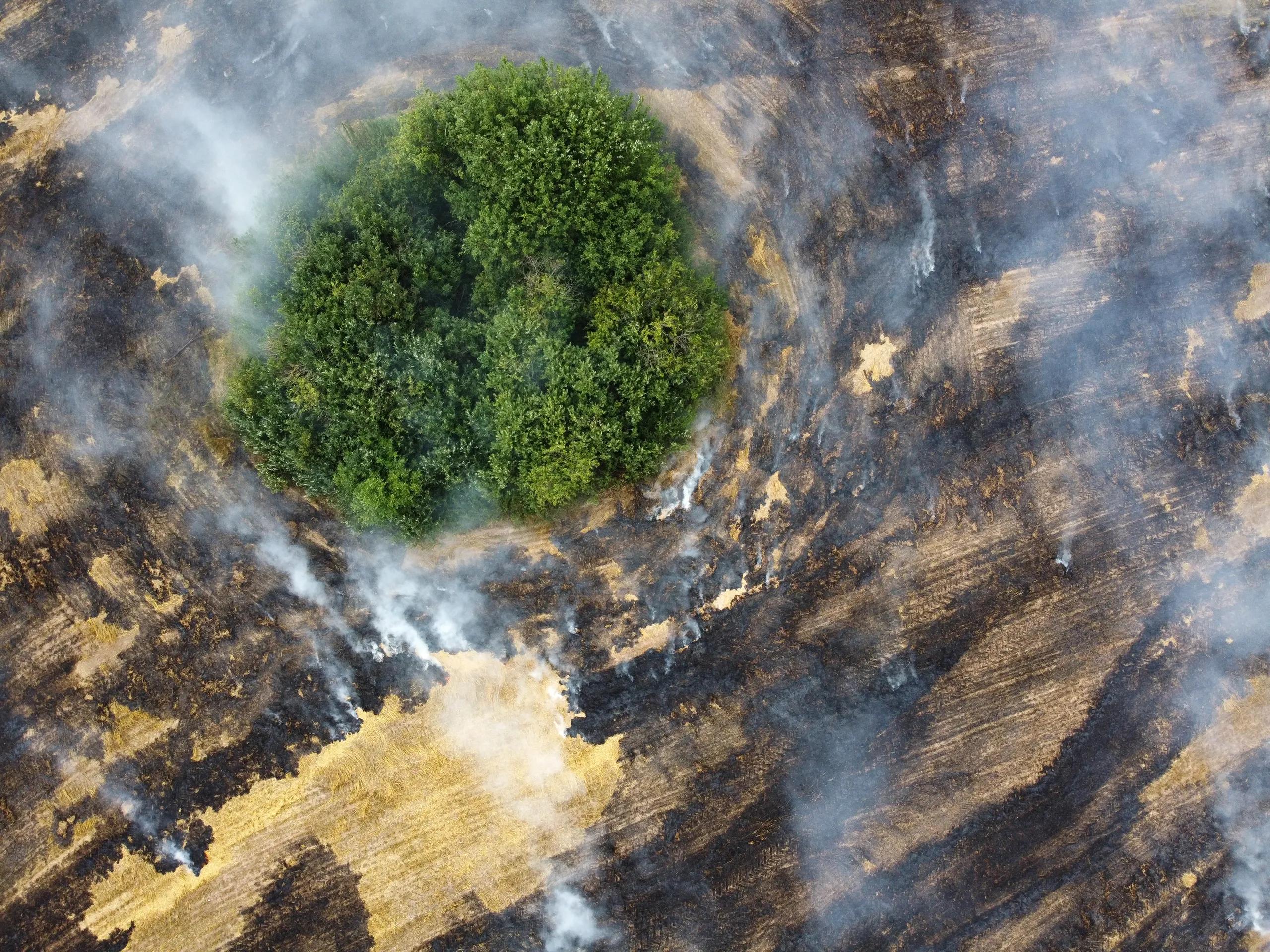
Environmental monitoring has become increasingly critical as climate change threatens ecosystems, biodiversity, and human life. Technological advancements, particularly in artificial intelligence (AI) and geospatial data, offer promising solutions to enhance environmental monitoring and implement effective climate change solutions. By integrating AI with geospatial technology, environmental initiatives are achieving new levels of precision, enabling real-time monitoring of critical indicators such as deforestation, ocean health, and air quality. This article explores the powerful role AI plays in environmental monitoring and climate change solutions, with a focus on geospatial technology’s capacity to track and manage environmental risks.
The Intersection of AI and Geospatial Technology
At its core, geospatial technology provides location-based data, ranging from satellite imagery to GPS coordinates, necessary for mapping, monitoring, and analyzing the Earth's features. When combined with AI, these technologies empower researchers, policymakers, and environmentalists to identify patterns and generate predictive insights with unprecedented accuracy. AI’s machine learning (ML) algorithms and deep learning techniques can analyze vast amounts of geospatial data, highlighting trends that may be difficult or impossible for humans to detect unaided.
In environmental monitoring, AI-driven geospatial analysis aids in several key areas: tracking climate indicators, measuring the rate and causes of deforestation, and identifying hotspots for environmental degradation. These insights are not only essential for immediate interventions but also guide long-term policies for sustainable development.
AI in Geospatial Data for Monitoring Deforestation
Deforestation remains a central concern in the fight against climate change, with forests playing a critical role in carbon absorption and biodiversity preservation. Forests are also responsible for regulating local weather patterns, influencing rainfall distribution and temperature. However, illegal logging, urban expansion, and agricultural encroachment continue to reduce forest cover globally.
AI-driven geospatial technologies can track deforestation with greater accuracy and speed. Satellite imagery processed with AI algorithms can detect even slight changes in forest cover, providing frequent updates on forest health. Machine learning models are capable of identifying deforestation patterns and assessing which regions are at the highest risk. For instance, Convolutional Neural Networks (CNNs), a popular form of AI algorithm for image analysis, have proven effective in differentiating between forest and non-forest areas from satellite data, enabling accurate assessments of forest cover over time.
Furthermore, AI can automate the processing of large datasets, accelerating the detection of illegal logging or unexpected land-use changes. This real-time data allows governments and NGOs to intervene swiftly, possibly preventing further damage. AI-powered systems like Global Forest Watch, developed by the World Resources Institute, employ satellite data and ML algorithms to monitor global forest cover, offering governments and environmental agencies a powerful tool to combat deforestation.
Tracking Climate Change Indicators Using AI and Geospatial Data
Tracking climate change indicators, such as temperature anomalies, sea level rise, and atmospheric CO₂ concentrations, requires extensive data collection and sophisticated analysis. Here, AI and geospatial data integration allow researchers to monitor climate patterns more effectively. Climate models are inherently complex, as they rely on numerous interconnected variables, from ocean currents to greenhouse gas emissions. By leveraging machine learning, AI can manage and interpret these variables to produce high-resolution climate models, which offer more accurate predictions of future climate scenarios.
For example, machine learning algorithms can assess changes in temperature and precipitation patterns based on historical climate data, projecting these trends onto current and future scenarios. By identifying which regions are most likely to experience extreme weather events, scientists and policymakers can develop targeted strategies to mitigate climate risks.
Moreover, AI-based solutions are increasingly being used to measure atmospheric conditions in near real-time. Using satellite imagery and ground-based sensors, AI algorithms can detect patterns of pollution and changes in air quality, providing insight into emissions sources and their impacts. These capabilities are vital for urban areas, where pollution levels can fluctuate rapidly and impact large populations. In agriculture, AI-based monitoring of soil moisture and temperature data provides insights into crop health, enabling farmers to adapt practices to changing climate conditions, ultimately reducing environmental impacts.
Supporting Environmental Initiatives with AI-Powered Geospatial Analytics
AI and geospatial technology play a central role in supporting various environmental initiatives, from biodiversity preservation to carbon footprint reduction. By processing geospatial data with AI, environmentalists can track wildlife migration patterns, measure the impacts of climate change on habitats, and manage conservation areas effectively.
One area where AI has made significant strides is biodiversity monitoring. AI algorithms can analyze drone and satellite imagery to identify species in their habitats, count population densities, and monitor migration patterns. Deep learning models can identify specific animal species from images, distinguishing them based on unique patterns, colors, and shapes. This allows conservationists to gather population data and assess the health of various species without disturbing natural ecosystems.
In addition, AI is instrumental in creating carbon maps, visual representations of carbon stocks in forests, soils, and wetlands. Carbon mapping, when integrated with geospatial data, enables scientists to identify carbon-rich areas and monitor their changes over time. By tracking carbon sources and sinks, environmental agencies can develop carbon-offset projects and work toward achieving carbon neutrality. For instance, projects that prevent deforestation or encourage reforestation are increasingly leveraging AI to monitor and validate their carbon offset efforts accurately, ensuring that these projects genuinely contribute to climate change mitigation.
Predictive Analytics for Climate Resilience
One of the most promising applications of AI in environmental monitoring is its ability to generate predictive analytics for climate resilience. Predictive models can assess how environmental changes, such as deforestation or sea level rise, might affect ecosystems and human populations in the future. These insights are invaluable for risk mitigation and developing strategies to build climate-resilient communities.
Machine learning algorithms, trained on historical geospatial and environmental data, can anticipate natural hazards and inform disaster preparedness. For instance, by analyzing flood patterns over time, AI can predict areas most likely to be affected by rising sea levels or extreme weather events. Cities and communities can then use this data to create comprehensive response plans, protect vulnerable populations, and invest in infrastructure that mitigates potential damage.
AI Challenges and the Need for Ethical Implementation in Climate Solutions
While AI provides a range of tools for environmental monitoring and climate solutions, several challenges remain. Data quality and accessibility are major concerns, as geospatial data often needs extensive processing and cleaning to be useful for AI analysis. Additionally, the complex, interconnected nature of ecosystems means that AI models need to be continually refined to avoid oversimplifying environmental issues.
Ethical considerations also play a crucial role in implementing AI for environmental solutions. Data privacy, transparency, and potential biases in AI algorithms must be addressed to ensure the technology is used responsibly. Transparency in AI models allows stakeholders to understand how predictions and recommendations are made, fostering trust in technology. Furthermore, the carbon footprint of AI itself must be considered, as training complex models can be energy-intensive.
In conclusion, the integration of AI and geospatial technology offers transformative solutions for environmental monitoring and climate change mitigation. By automating data collection and enabling predictive insights, AI allows us to monitor deforestation, track climate change indicators, and support various environmental initiatives with precision and speed. However, to harness AI’s full potential in climate solutions, it is essential to address data quality challenges, ensure transparency, and adopt sustainable practices in AI deployment.
As we face an escalating climate crisis, leveraging AI in environmental monitoring is not just an opportunity but a necessity. Through these advancements, we can build a more resilient, sustainable future where data-driven insights guide meaningful actions to combat climate change. By continuing to refine AI algorithms and investing in ethical, sustainable solutions, we can ensure that AI-driven geospatial technology remains at the forefront of environmental protection efforts, safeguarding our planet for generations to come.