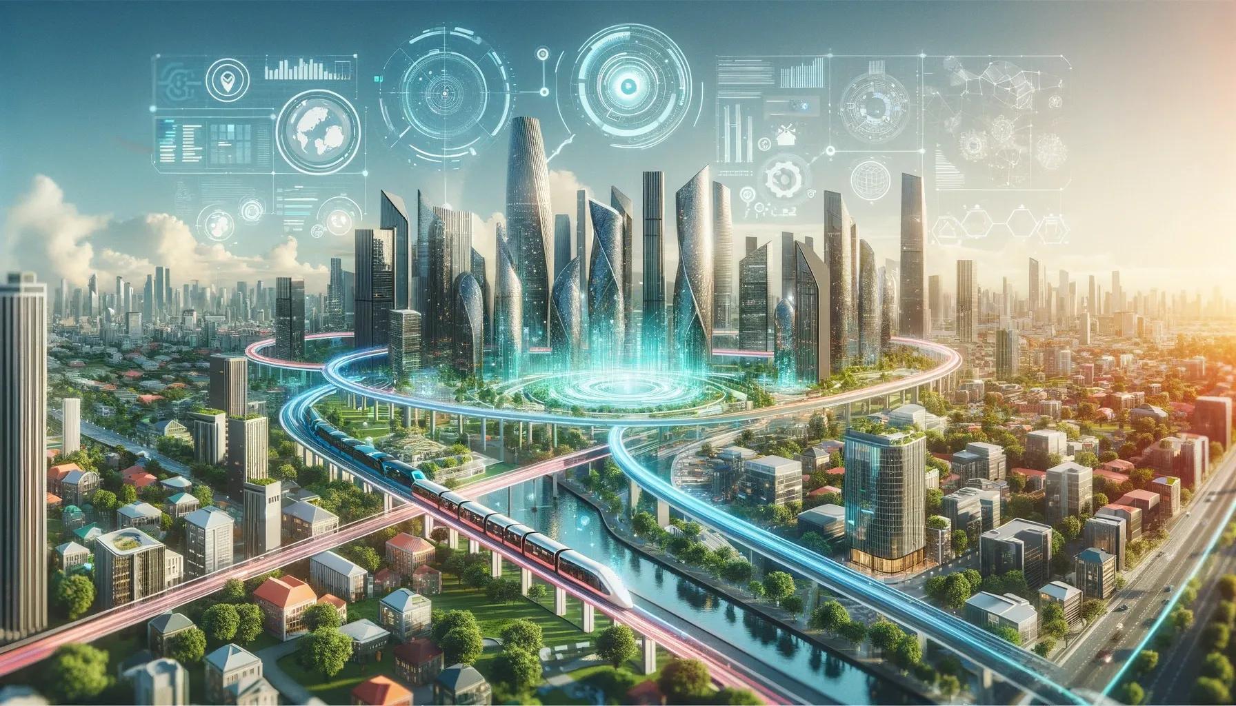
The integration of Artificial Intelligence (AI) and geospatial data analysis is revolutionizing the field of urban planning. This technology convergence offers unparalleled opportunities for city planners and policymakers to understand and shape urban environments more effectively. This article delves into the transformative impact of AI and geospatial data on urban planning, exploring its applications, benefits, challenges, and future prospects.
The Synergy of AI and Geospatial Data in Urban Planning
Geospatial data, encompassing information about geographical locations and features, serves as the backbone of urban planning. When combined with AI, this data transforms into a dynamic tool capable of providing insights into complex urban dynamics. AI algorithms, particularly machine learning and deep learning, can analyze vast amounts of geospatial data, identifying patterns and trends that human analysts might overlook.
Applications in Urban Development
Urban Growth Modeling and Forecasting : AI-driven models can predict urban growth patterns, helping planners to design cities that can adapt to future demographic changes. These models use historical data to forecast urban sprawl, enabling proactive planning for infrastructure, housing, and public services.
Traffic Management and Mobility Solutions : AI algorithms analyze traffic flow patterns using geospatial data, leading to optimized traffic management systems. This helps in reducing congestion, improving road safety, and enhancing public transportation systems.
Environmental Monitoring and Sustainability : Geospatial AI plays a crucial role in monitoring environmental changes and assessing the impact of urbanization on ecosystems. This is vital for developing sustainable urban plans that balance development needs with environmental conservation.
Disaster Management and Risk Assessment : AI models, integrated with geospatial data, can predict natural disasters such as floods and earthquakes. This allows for effective risk assessment and disaster preparedness, ensuring resilient urban infrastructures.
Benefits of AI and Geospatial Data in Urban Planning
Enhanced Decision-Making : AI-driven geospatial analysis provides urban planners with detailed insights, leading to more informed decision-making. This data-driven approach ensures that urban planning decisions are based on empirical evidence, reducing uncertainties.
Increased Efficiency and Cost-Effectiveness : Automating data analysis processes with AI significantly reduces the time and resources required for urban planning. This efficiency translates into cost savings and allows planners to focus on strategic aspects of urban development.
Dynamic Urban Management : The ability to continuously analyze real-time data enables dynamic urban management. Planners can quickly respond to changing urban landscapes, ensuring that cities remain adaptable and resilient.
Improved Quality of Life : By optimizing urban spaces for efficiency, sustainability, and accessibility, AI and geospatial data contribute to improving the quality of life for city residents. This includes better infrastructure, public services, and environmental quality.
Challenges and Considerations
Data Privacy and Security : The use of AI in analyzing geospatial data raises concerns about data privacy and security. Ensuring the protection of sensitive information is crucial to maintain public trust and comply with legal standards.
Ethical Considerations : The potential for bias in AI algorithms is a significant challenge. It's essential to develop AI systems that are transparent, accountable, and free from biases that could lead to unequal urban development.
Technical and Skill Gaps : The effective implementation of AI in urban planning requires specialized skills and technical infrastructure. Addressing these gaps is necessary for the successful integration of AI and geospatial data in urban planning.
The Future of Urban Planning with AI and Geospatial Data
The future of urban planning lies in the continued advancement of AI and geospatial technologies. With the increasing availability of satellite imagery, IoT devices, and other data sources, the potential for AI-driven geospatial analysis in urban planning is vast. The key to harnessing this potential lies in continuous innovation, cross-disciplinary collaboration, and addressing the ethical and technical challenges head-on.
In conclusion, the integration of AI and geospatial data analysis is not just an incremental change; it's a paradigm shift in urban planning. This synergy offers unprecedented opportunities to create more efficient, sustainable, and livable cities. As urban planners and policymakers embrace these technologies, the promise of AI-driven geospatial data analysis in shaping the cities of the future becomes increasingly tangible. The journey towards smart, AI-powered urban planning is just beginning, and its potential to revolutionize urban environments is immense.