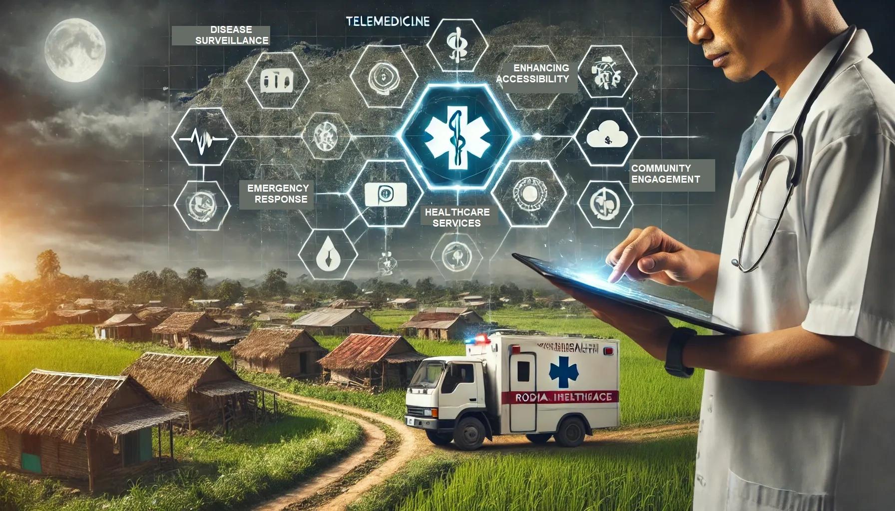
The integration of geospatial technology into healthcare has ushered in a new era of patient care, particularly in rural areas where medical resources and infrastructure are often limited. This article delves into the transformative impact of geospatial technology on healthcare delivery in these underserved regions, examining the ways in which it has enhanced accessibility, efficiency, and overall patient outcomes.
Understanding Geospatial Technology in Healthcare
Geospatial technology encompasses a suite of tools and techniques used to collect, analyze, and visualize spatial data. Key components include Geographic Information Systems (GIS), remote sensing, Global Positioning Systems (GPS), and spatial analytics. In healthcare, these technologies enable the mapping of health trends, the identification of at-risk populations, and the optimization of resource allocation.
Enhancing Accessibility to Healthcare Services
One of the primary challenges in rural healthcare is the geographic dispersion of communities, which makes access to medical facilities difficult. Geospatial technology addresses this by providing detailed maps and spatial data that help in the planning and development of healthcare infrastructure. For instance, GIS can identify areas with the highest need for medical services, guiding the placement of clinics, hospitals, and mobile health units.
Moreover, geospatial data can optimize transportation routes for emergency services, ensuring that ambulances and medical teams can reach patients more quickly. This is particularly crucial in rural areas where road conditions and distances can significantly delay emergency response times.
Disease Surveillance and Control
Geospatial technology plays a pivotal role in disease surveillance and control, especially in rural settings where outbreaks can go unnoticed due to limited monitoring capabilities. By leveraging GIS and remote sensing, health authorities can track the spread of infectious diseases in real-time, identifying hotspots and potential vectors of transmission.
For example, during the COVID-19 pandemic, geospatial tools were instrumental in mapping infection rates, contact tracing, and deploying targeted interventions. In rural areas, these technologies enabled health officials to allocate resources more effectively, such as distributing vaccines and setting up testing sites in areas with the highest infection rates.
Resource Allocation and Management
Efficient resource allocation is critical in rural healthcare, where medical supplies and personnel are often scarce. Geospatial technology aids in the strategic distribution of these resources by providing data-driven insights into the needs of different communities. GIS can analyze demographic information, health outcomes, and spatial factors to prioritize areas requiring immediate attention.
Additionally, geospatial analytics can optimize supply chain logistics for medical supplies, ensuring timely delivery to remote areas. This is particularly important for the distribution of essential items such as medications, vaccines, and medical equipment.
Telemedicine and Mobile Health Units
Telemedicine has emerged as a game-changer in rural healthcare, bridging the gap between patients and medical professionals. Geospatial technology enhances telemedicine services by mapping the distribution of telehealth infrastructure and identifying areas lacking connectivity. This allows healthcare providers to target these areas for the deployment of mobile health units equipped with telemedicine capabilities.
Mobile health units, supported by geospatial data, can deliver healthcare services directly to remote communities. These units can be strategically dispatched based on real-time spatial analysis, ensuring they reach the most underserved populations. This approach not only improves access to healthcare but also reduces the need for patients to travel long distances for medical care.
Environmental Health and Disease Prevention
Environmental factors significantly impact health outcomes, particularly in rural areas where agricultural and industrial activities can pose risks. Geospatial technology enables the monitoring and analysis of environmental data, such as air and water quality, land use, and climate patterns. This information is crucial for identifying potential health hazards and implementing preventive measures.
For example, GIS can map areas with high levels of pollution or contamination, guiding interventions to mitigate these risks. In agricultural regions, geospatial tools can monitor pesticide use and its impact on public health, ensuring that communities are not exposed to harmful chemicals.
Community Engagement and Education
Effective healthcare delivery in rural areas requires the active involvement of local communities. Geospatial technology facilitates community engagement by providing accessible and understandable visualizations of health data. Interactive maps and spatial dashboards can communicate health trends, risks, and preventive measures to the public, empowering them to take proactive steps in safeguarding their health.
Moreover, geospatial tools can support health education campaigns by identifying target audiences and tailoring messages to specific communities. This ensures that health education efforts are relevant and impactful, addressing the unique needs and challenges of rural populations.
Case Studies and Success Stories
Several case studies highlight the successful implementation of geospatial technology in rural healthcare. In India, the use of GIS to map tuberculosis (TB) cases in rural areas has significantly improved disease management. By identifying TB hotspots and monitoring treatment adherence, health officials have been able to reduce transmission rates and improve patient outcomes.
In Africa, geospatial technology has been instrumental in combating malaria. By mapping mosquito breeding sites and tracking the spread of the disease, health authorities have been able to deploy targeted interventions such as insecticide-treated bed nets and indoor residual spraying, resulting in a substantial decline in malaria cases.
Future Prospects and Challenges
While the benefits of geospatial technology in rural healthcare are clear, several challenges remain. These include the need for adequate training and capacity-building for healthcare professionals, ensuring data privacy and security, and overcoming infrastructural limitations such as internet connectivity and power supply.
Looking ahead, advancements in geospatial technology, such as the integration of artificial intelligence (AI) and machine learning (ML), hold great promise for further enhancing healthcare delivery. AI and ML can provide deeper insights into health trends and predictive analytics, enabling more proactive and personalized healthcare interventions.
In conclusion, geospatial technology has revolutionized healthcare delivery in rural areas, addressing long-standing challenges related to accessibility, resource allocation, and disease management. By leveraging spatial data and analytics, healthcare providers can make informed decisions that improve patient outcomes and enhance the overall quality of care. As technology continues to evolve, its role in rural healthcare is set to become even more critical, ensuring that no community is left behind in the quest for better health.
By embracing geospatial technology, we can bridge the gap between urban and rural healthcare, creating a more equitable and efficient healthcare system for all.