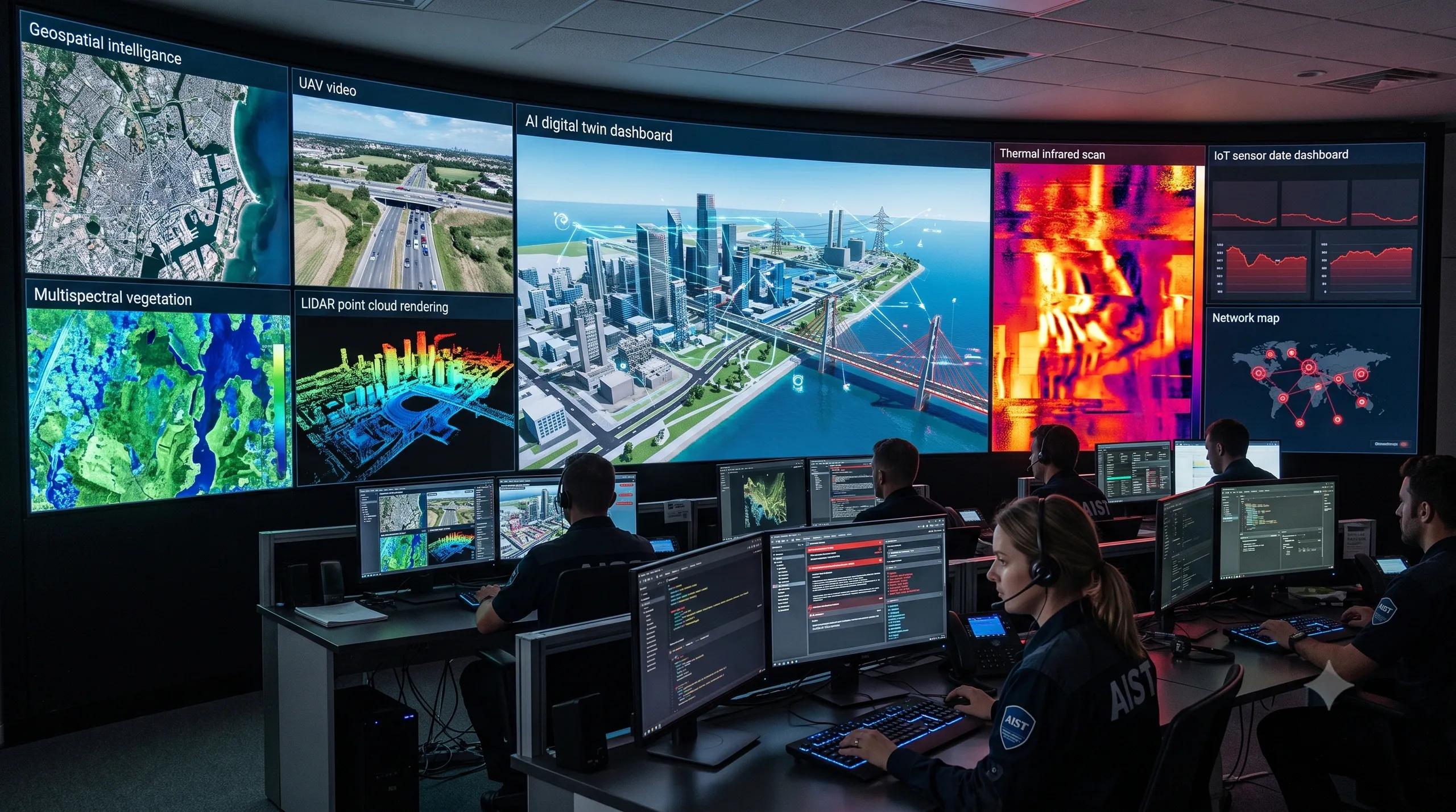
The Shift We Cannot Ignore
For years, remote sensing was treated mainly as a data problem.
Do we have the right imagery?
Is the resolution good enough?
Is the model accurate?
Can we classify the asset, detect the change, or monitor the site faster?
These questions still matter.
But they are no longer enough.
As AI moves deeper into remote sensing workflows, we need to ask a harder question:
Can the sensor-to-AI chain be trusted when someone tries to manipulate it?
That question is becoming urgent because remote-sensing AI is no longer limited to offline analysis. It is moving into operations.
Infrared cameras are being used for night-time monitoring, disaster response, industrial heat detection, defense-adjacent surveillance, and utility inspection. UAV imagery is feeding construction dashboards. Road cameras are being used for asset condition assessment. Multispectral and thermal data are supporting agriculture, vegetation risk, logistics yards, and critical infrastructure monitoring.
In many of these workflows, AI is not just producing a map.
It is influencing a decision.
That decision may be about where to send a maintenance team, whether a site is safe, whether an object has changed, whether a fire risk is rising, whether a road asset needs replacement, or whether an operational alarm should be triggered.
Once AI starts shaping action, the security model changes.
The risk is no longer only that a model may be inaccurate.
The risk is that a model may be deliberately misled.
Why Sensor Attacks Matter Now
Recent research around infrared remote-sensing vision-language models is a strong warning signal.
The important point is not one specific paper or one specific attack method. The larger point is this: researchers are now showing that sensor-level or environment-like perturbations can affect how AI interprets remote-sensing data.
That matters because remote-sensing systems operate in the physical world.
They do not receive clean textbook images.
They receive fog, haze, heat signatures, shadows, reflections, compression artifacts, sensor noise, camera angle changes, seasonal variation, atmospheric effects, and metadata inconsistencies.
For traditional image interpretation, these were quality issues.
For AI-driven operational systems, they can become security issues.
This is especially important for infrared and thermal remote sensing.
Infrared systems are valuable because they help us see what visible cameras cannot. They support night operations, heat detection, smoke-affected environments, asset stress monitoring, and low-visibility inspection.
But this also means the AI model depends on physical signals that can be more complex than normal visual imagery.
If thermal patterns, airflow effects, environmental conditions, or sensor artifacts can change model behavior, then cybersecurity cannot stop at the network layer.
It has to reach the sensor layer.
Cybersecurity Cannot Stop at the Cloud
This is where many geospatial and infrastructure teams need to update their thinking.
Cybersecurity in remote sensing is often understood as protecting servers, access controls, APIs, cloud storage, and user credentials.
All of that is necessary.
But for GeoAI, cybersecurity must also include a deeper layer of questions:
Can the source data be trusted?
Can the sensor be spoofed, blinded, shifted, or confused?
Can the metadata be altered?
Can the AI model be fooled by small physical or digital changes?
Can the system detect uncertainty before producing a confident answer?
Can the decision trail be audited later?
These questions become more important as remote sensing connects with digital twins.
A digital twin is only as reliable as the evidence feeding it.
If UAV data, satellite imagery, thermal feeds, IoT sensors, LiDAR, CCTV, and edge cameras are used to update the twin, then every sensor becomes part of the trust chain.
If that chain is weak, the twin may look current while carrying compromised evidence.
This is not just a technical concern.
It is a governance concern.
The Operational Risk
Imagine a construction-site monitoring system that uses AI to detect safety risks and progress delays.
If the camera feed is degraded, manipulated, or misread, the dashboard may show a false sense of control.
Imagine a road-asset inspection system that uses vision-language models to assess traffic signs, markings, or surface condition.
If the model is sensitive to lighting, glare, angle, or adversarial visual patterns, the maintenance decision may be wrong.
Imagine a utility using thermal imagery to detect overheating assets.
If the thermal signal is distorted or misclassified, the system may miss an early warning.
Imagine a disaster response workflow where AI is used to identify damaged areas from aerial imagery.
If the model gives confident but unreliable output, scarce response resources may be sent to the wrong place.
In each case, the issue is not only model performance.
The issue is operational trust.
That is why remote-sensing AI needs a security-by-design approach.
What Security-by-Design Should Include
The first requirement is sensor provenance .
Every image, feed, point cloud, or thermal frame should carry basic evidence about where it came from, when it was captured, what device captured it, what preprocessing was applied, and whether the data has been altered.
The second requirement is multi-sensor validation .
Critical decisions should not depend on one model reading one sensor stream. Satellite imagery, UAV imagery, IoT readings, thermal data, LiDAR, field inspection, and historical baselines should be cross-checked wherever possible.
The third requirement is adversarial and robustness testing .
Before a GeoAI system is deployed in operational settings, it should be tested against realistic disturbances: weather effects, sensor noise, compression, occlusion, lighting variation, thermal variation, spoofed metadata, and domain shifts.
The fourth requirement is uncertainty reporting .
A model should not only say, “This is a damaged asset” or “This is a hotspot.” It should also show when confidence is weak, when input quality is poor, when the sensor feed is unusual, and when human review is required.
The fifth requirement is audit trails .
If an AI-supported spatial decision is questioned later, the organization should be able to trace the path: source data, model version, confidence level, human review, decision taken, and outcome observed.
What This Means for Geospatial Platforms
This is where the next generation of geospatial platforms will be judged.
Not only by how beautiful the map looks.
Not only by how fast the AI detects objects.
Not only by how many dashboards are generated.
They will be judged by whether the system can preserve trust from reality to record to decision.
For remote-sensing AI, the future is not just higher-resolution imagery or larger models.
It is secure spatial intelligence.
That means the AI must know when it is seeing clearly, when it is uncertain, and when the sensor evidence may have been compromised.
For geospatial teams, this opens a new service layer:
Remote-sensing model robustness audits.
Sensor trust-chain design.
Infrared and multispectral AI validation.
Digital twin evidence governance.
Operational dashboards with uncertainty and traceability built in.
The Business Opportunity
The organizations that understand this early will be better prepared for the next phase of GeoAI adoption.
Utilities will need trusted thermal intelligence.
Construction companies will need reliable site monitoring.
Road agencies will need defensible asset-condition assessment.
Smart cities will need secure sensor networks.
Disaster-response agencies will need AI outputs they can trust under pressure.
Industrial operators will need infrared and multispectral analytics that do not fail silently.
This creates a clear opportunity for geospatial firms, digital twin platforms, UAV service providers, and infrastructure technology companies.
The next wave of value will not come only from detecting more objects.
It will come from proving that those detections are reliable, traceable, and fit for operational use.
Closing Thought
As remote-sensing AI becomes part of infrastructure, mobility, utilities, defense, climate, agriculture, and construction workflows, accuracy alone will not be enough.
The real question will be:
Can we trust the spatial intelligence when the environment, the sensor, or the input data is under pressure?
That is the next frontier.
Remote-sensing AI will not become operationally mature until cybersecurity thinking is built into the sensor-to-decision pipeline.