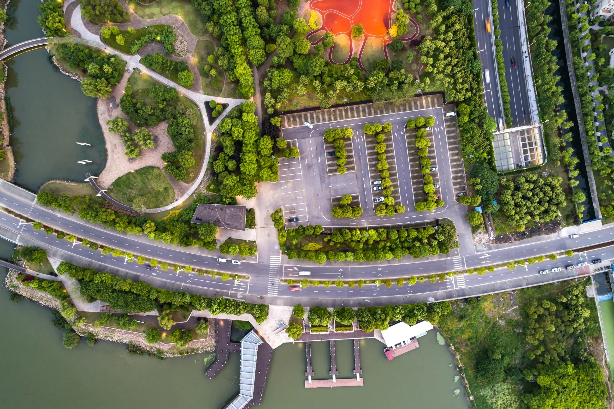
The rapid evolution of Artificial Intelligence (AI) combined with real-time geospatial analytics is revolutionizing industries ranging from smart cities to transportation networks. With unprecedented volumes of spatial data collected in real time, AI's ability to process and analyze this data is unlocking new insights and efficiencies, enabling organizations to respond dynamically to changing environments. This article explores how real-time geospatial analytics with AI transforms key sectors and presents the applications and benefits driving its widespread adoption.
Understanding Real-Time Geospatial Analytics and AI
Real-time geospatial analytics refers to the instantaneous processing and interpretation of spatial data, often sourced from a network of sensors, satellites, IoT devices, and other data-generating endpoints. With AI algorithms embedded in analytics frameworks, organizations can now perform complex data processing at scale. These algorithms, often powered by machine learning (ML), deep learning, and computer vision, analyze large datasets, detect patterns, and derive actionable insights in real time. When applied to geospatial data, AI enables rapid and accurate location-based analytics, transforming raw data into useful information that supports decision-making in critical sectors.
The Role of AI in Real-Time Geospatial Analytics
AI enhances real-time geospatial analytics by automating and accelerating data analysis. Machine learning models can be trained to detect anomalies, predict trends, and segment data in ways that manual processes cannot achieve at the same speed or accuracy. Neural networks, for instance, can identify complex spatial patterns across time series data, essential for applications where location data is subject to rapid change, such as traffic flows or weather conditions.
Furthermore, AI-powered predictive models offer organizations the ability to foresee potential challenges, from traffic congestion to climate-related events. By incorporating AI into geospatial analytics, real-time monitoring and response systems can adapt intelligently, learning from new data to improve accuracy and effectiveness.
Applications of Real-Time Geospatial Analytics with AI
The integration of AI with real-time geospatial analytics has significant implications across various industries. Here, we focus on a few key applications within smart cities, transportation networks, environmental monitoring, and logistics.
1. Smart Cities and Urban Planning
Smart cities leverage real-time geospatial analytics to improve urban infrastructure, reduce energy consumption, and enhance the quality of life for residents. AI-powered systems can analyze data from surveillance cameras, traffic sensors, and air quality monitors to create a comprehensive picture of urban dynamics.
Traffic Management : In cities with dense traffic, AI-based geospatial analytics provides real-time insights into congestion patterns, allowing city planners to optimize traffic flow and reduce bottlenecks. Traffic data from sensors and GPS-equipped vehicles is processed in real time to adjust traffic signals and reroute vehicles dynamically, reducing delays and emissions.
Energy Management : Smart grids benefit from AI and real-time geospatial analytics by monitoring energy consumption across different city zones. By predicting demand peaks, the system can redistribute resources or activate alternative energy sources, such as solar power, ensuring efficient energy distribution and reduced environmental impact.
Public Safety and Emergency Response : AI-enabled geospatial analytics plays a crucial role in emergency management. Real-time analysis of data from various sources, such as surveillance cameras and social media, can alert authorities to potential security threats. During emergencies, real-time location data helps in routing emergency vehicles along the fastest paths, potentially saving lives.
2. Transportation Networks and Mobility Solutions
In transportation, real-time geospatial analytics with AI optimize operations, enhances passenger safety, and reduces travel times. AI-driven models process massive volumes of data from transit networks, public transportation, and rideshare platforms to predict and respond to demand fluctuations.
Predictive Maintenance : AI models trained on historical and real-time data can predict when critical components in transportation infrastructure, such as rail tracks or highway overpasses, might need maintenance. By catching wear-and-tear issues early, predictive maintenance reduces the risk of accidents and lowers repair costs.
Autonomous Vehicles : Real-time geospatial analytics is essential for the safe operation of autonomous vehicles (AVs). AI algorithms process data from LiDAR, radar, and cameras in real time to map surroundings, detect objects, and make driving decisions. With geospatial data, AVs can optimize routes and respond to changing traffic and weather conditions instantly, enhancing the efficiency and safety of self-driving systems.
Dynamic Ridesharing and Fleet Optimization : For rideshare companies, AI-powered geospatial analytics matches riders with drivers based on proximity and traffic conditions in real time, reducing waiting times and optimizing fleet utilization. In public transit, dynamic analytics can help adjust schedules or vehicle deployment based on demand patterns, improving efficiency.
3. Environmental Monitoring and Disaster Management
The capability of AI to analyze real-time geospatial data has immense benefits for environmental monitoring and disaster management. AI models can detect changes in environmental conditions, providing early warning signals for natural disasters.
Weather Prediction and Climate Modeling : Real-time satellite and radar data feed into AI models that track storm systems, forecast rainfall, and predict extreme weather conditions. These insights allow for more accurate and timely weather forecasts, enabling better preparation and response to adverse weather events.
Wildfire Detection and Management : Using satellite data, AI can detect anomalies in vegetation patterns or temperature spikes, indicating the likelihood of wildfires. By issuing early warnings, these systems enable rapid response, potentially containing wildfires before they spread.
Water Resource Management : For regions prone to drought or flooding, AI-driven geospatial analytics helps in monitoring water levels, assessing soil moisture, and predicting river flow rates. This information is critical for managing water resources and mitigating the effects of water scarcity or flood events.
4. Supply Chain and Logistics
Supply chains are increasingly complex, often spanning multiple countries and involving numerous transportation modes. AI-enhanced geospatial analytics provide visibility and optimize the flow of goods in real time.
Route Optimization and Delivery Efficiency : AI-driven geospatial models analyze traffic conditions, weather data, and delivery demand to optimize routes. This results in reduced fuel consumption, faster delivery times, and lower logistics costs.
Inventory Management and Demand Forecasting : By integrating real-time data from warehouses and retail outlets, AI models can anticipate demand fluctuations. Geospatial analytics helps track inventory movement across regions, enabling companies to prevent stockouts and avoid overstocking.
Cold Chain Monitoring : For perishable goods, AI-driven geospatial analytics monitors temperature and humidity in real time, alerting managers to any deviations. This ensures the quality and safety of products like pharmaceuticals and fresh produce throughout transit.
Benefits of AI-Driven Real-Time Geospatial Analytics
The adoption of AI-driven real-time geospatial analytics brings transformative benefits across sectors:
Improved Decision-Making : With AI analyzing geospatial data in real time, organizations gain actionable insights that enable faster and better-informed decisions.
Increased Efficiency : Automation and predictive analytics reduce manual labor, streamline processes, and optimize resource allocation, resulting in time and cost savings.
Enhanced Safety and Security : Real-time monitoring and AI's predictive capabilities enhance safety measures, from managing urban traffic to detecting environmental hazards.
Scalability : As data sources multiply, AI’s ability to process large datasets ensures that analytics remain efficient and scalable, accommodating the growing demands of data-driven industries.
Sustainability : Geospatial analytics with AI support environmental initiatives by improving energy efficiency, monitoring natural resources, and predicting climate events, contributing to sustainability goals.
In conclusion, real-time geospatial analytics with AI is revolutionizing how industries operate, enabling more responsive, efficient, and sustainable solutions. From optimizing urban infrastructure in smart cities to enhancing logistics in supply chains, the applications are vast and impactful. As AI technologies continue to evolve, the integration with geospatial analytics will only deepen, further unlocking potential benefits for organizations worldwide. Embracing this technology not only enhances operational efficiency but also builds resilience and supports sustainable growth in an increasingly data-driven world.