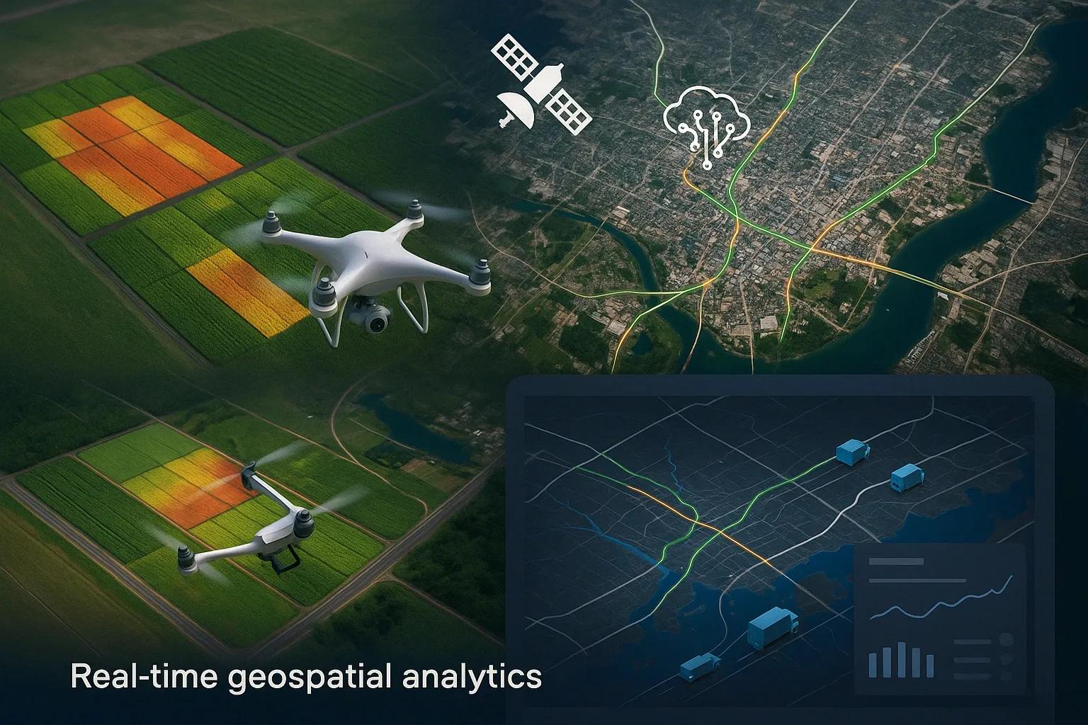
Geospatial analytics has evolved rapidly from static mapping to dynamic, real-time decision-making systems. Businesses today require spatial intelligence that is not only location-aware but also temporally responsive. Real-time geospatial analytics integrates continuous data streams from IoT devices, satellites, mobile applications, and UAVs to deliver actionable insights at the moment they are needed. This article explores this paradigm shift, its technological enablers, and its application across sectors like agriculture, infrastructure, logistics, and urban planning.
Traditional Geographic Information Systems (GIS) offered organizations a way to visualize location-based data through static maps and historical datasets. While useful for long-term planning, these maps lacked responsiveness to rapidly changing conditions. The current wave of digital transformation, accelerated by AI, IoT, cloud computing, and edge analytics, has ushered in a new era of real-time geospatial analytics . This transformation empowers organizations to move beyond visualization and use geospatial data as a core driver of automated, context-aware decision-making.
From Static Maps to Real-Time Analytics
Static Maps: Historically, spatial data was collected, processed offline, and displayed as fixed maps. These maps offered snapshots based on surveys, aerial imagery, or satellite data. Decision-making was largely retrospective.
Real-Time Geospatial Analytics: Today, spatial data is streamed in real-time from a multitude of sources, satellites, drones, sensors, GPS-equipped devices, and traffic cameras. This data is processed immediately to detect patterns, predict outcomes, and support automated decisions. With APIs, dashboards, and integrated data layers, organizations can visualize live conditions and react promptly.
Key Technology Enablers
Internet of Things (IoT): IoT devices act as live geospatial sensors. For example, smart meters, GPS trackers, and field-deployed weather sensors deliver granular, location-tagged data continuously.
Cloud Infrastructure: Cloud platforms such as AWS, Azure, and Google Cloud provide scalable computing environments for storing and analyzing massive real-time geospatial datasets.
Edge Computing: Processing data closer to the source minimizes latency. This is vital for applications like autonomous driving, where milliseconds matter.
5G Connectivity: High-speed, low-latency communication enables devices to transmit spatial data in real-time, facilitating faster decision loops.
AI and Machine Learning: AI models identify trends, predict anomalies, and classify geographic features from real-time data streams, enhancing both automation and forecasting.
Geospatial APIs and SDKs: Tools from companies like Mapbox, Esri, and Google Maps offer developers rapid integration of geospatial capabilities into business apps.
Use Cases Across Industries
1. Agriculture: Precision Monitoring and Yield Optimization
Real-time NDVI (Normalized Difference Vegetation Index) maps generated via UAVs or satellites allow farmers to detect crop stress and pest infestations immediately. Combined with soil moisture sensors and weather forecasts, these insights help automate irrigation and fertilization schedules, boosting yield while minimizing resource use.
2. Urban Infrastructure and Smart Cities
Smart cities rely on real-time traffic sensors, waste monitoring systems, and public safety feeds to manage congestion, allocate emergency services, and ensure environmental compliance. Dynamic spatial dashboards help city planners monitor energy usage, water leaks, and air pollution in specific neighborhoods.
3. Supply Chain and Logistics
Fleet managers use real-time geospatial analytics to track vehicles, monitor route deviations, and optimize delivery schedules. Combining live traffic data with warehouse geolocation enables dynamic rerouting, reducing fuel consumption and delivery delays.
4. Disaster Response and Risk Management
During floods, earthquakes, or wildfires, emergency responders require real-time location intelligence to allocate resources and evacuate populations. Platforms integrating live drone feeds, rainfall sensors, and terrain data can map hazard zones dynamically.
5. Utilities and Asset Monitoring
Electric and water utilities use IoT sensors to detect leakages or faults in pipelines and distribution grids. Real-time location data pinpoints the fault area, allowing predictive maintenance and quick field crew dispatch.
Benefits of Real-Time Geospatial Analytics
Improved Decision Speed: From planning to action, real-time updates enable organizations to compress response times drastically.
Context-Aware Automation: Combining spatial location with temporal trends allows for smart automation in transportation, agriculture, and manufacturing.
Cost Efficiency: Early anomaly detection reduces asset damage and operational disruptions.
Customer Experience: Businesses can offer better ETA predictions, customized delivery routes, and proactive service notifications.
Scalability: Modular platforms support expansion from pilot projects to enterprise-wide implementation.
Challenges and Considerations
Data Overload: High-frequency spatial data requires robust filtering, indexing, and prioritization mechanisms.
Data Quality and Accuracy: Real-time systems must validate inputs from various heterogeneous sources.
Security and Privacy: Location data is sensitive. Ensuring compliance with data protection laws like the Digital Personal Data Protection Bill (India) or GDPR (EU) is crucial.
Integration Complexity: Merging legacy GIS systems with modern streaming platforms involve technical debt and architectural rework.
Emerging Trends and Future Directions
Spatial AI and Graph Neural Networks (GNNs): GNNs can model complex spatial relationships across dynamic networks, such as traffic flows or urban infrastructure dependencies.
Digital Twins and Real-Time Feedback Loops: Sectors like manufacturing and utilities are moving towards digital twins that simulate live spatial conditions to optimize performance and reduce downtime.
Immersive Spatial Experiences (XR + GIS): Integration with Extended Reality (XR) allows stakeholders to interact with spatial data in 3D immersive environments, useful in urban planning, construction, and defense.
Low Earth Orbit (LEO) Satellite Data: With increased accessibility to LEO satellite constellations, high-resolution geospatial data is becoming available in near real-time, improving precision agriculture and remote monitoring.
Circular Economy and ESG Reporting: Real-time tracking of resource usage and emissions, tagged to specific geographies, supports compliance and ESG benchmarking.
Conclusion
The shift from static maps to real-time geospatial analytics marks a turning point in how businesses and governments make spatial decisions. The convergence of IoT, AI, cloud computing, and edge processing has made it possible to act on location data the moment it becomes available. Organizations that embrace this transformation can gain a competitive edge by becoming more responsive, predictive, and efficient. With the growing availability of real-time spatial data, enterprises will face increasing pressure to update and modernize their decision-making frameworks accordingly.