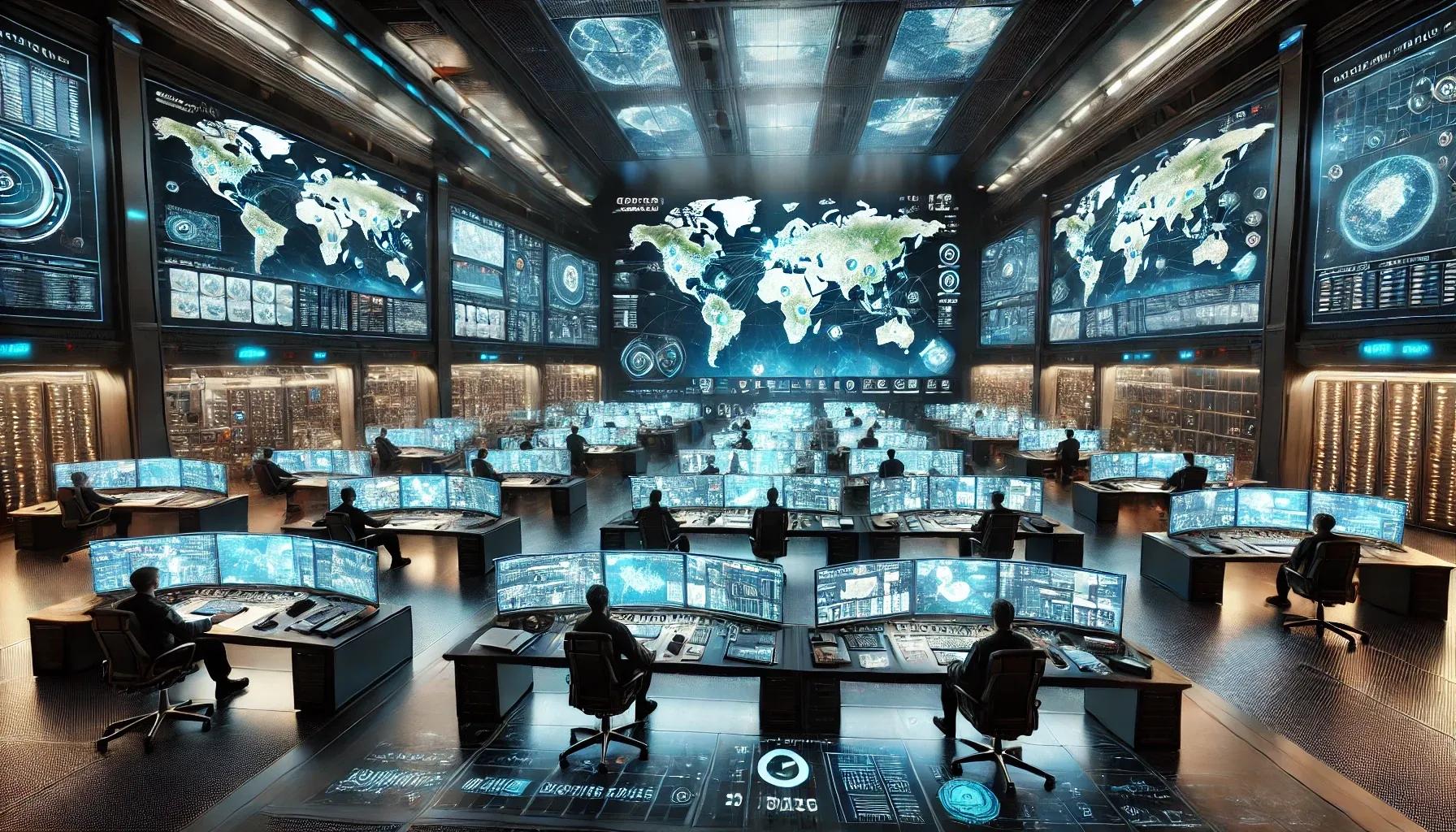
In an increasingly interconnected and data-driven world, the ability to monitor events as they unfold in real time has become a critical asset. Real-time event monitoring, supported by advanced geospatial technologies, enables stakeholders to visualize, analyze, and respond to unfolding situations with unprecedented speed and precision. Whether it is tracking the spread of a forest fire, managing crowds during large public gatherings, or coordinating emergency response efforts after a natural disaster, real-time geospatial monitoring systems are transforming the way organizations and governments make decisions. This article offers an in-depth explanation of how geospatial technology drives real-time event monitoring and facilitates faster, more informed responses.
Understanding Real-Time Event Monitoring in a Geospatial Context
At its core, real-time event monitoring involves continuous acquisition, processing, and visualization of data streams related to specific phenomena, ranging from traffic congestion and extreme weather patterns to commercial supply chain disruptions. When contextualized spatially, these data streams provide location-based insights that can help identify where events are occurring, their probable trajectories, and their potential impact on surrounding areas.
Geospatial technology provides the foundational tools, Geographic Information Systems (GIS), remote sensing platforms, satellite imagery, and sensor networks, that collate and map these dynamic datasets. By integrating layers of geospatial information, organizations can derive patterns and correlations that would remain hidden in tabular or non-spatial data. The advent of cloud computing, big data analytics, IoT (Internet of Things), and AI-driven analytics further amplifies the capacity of geospatial systems to handle large volumes of incoming information and distill them into actionable intelligence in near real-time.
Key Components of a Real-Time Geospatial Monitoring System
Data Acquisition and Integration : The first step in real-time event monitoring involves acquiring relevant geospatial data from a wide range of sources. Traditional inputs, such as satellite imagery, aerial surveys (including UAV-based LiDAR scans), and on-the-ground sensor networks, are now augmented by IoT devices, social media feeds, and even mobile application data. These disparate inputs must be integrated into a common spatial data infrastructure (SDI), where standardized data formats, protocols, and coordinate reference systems ensure that every data point aligns accurately on a map.
High-Performance Geospatial Databases : Real-time monitoring demands rapid data ingestion, storage, and retrieval. Dedicated spatial databases and geospatial data warehouses, often running on high-performance computing (HPC) infrastructure, allow for the indexing and querying of complex datasets. These databases support time-series data, vector and raster formats, and accommodate dynamic updates. They must also be scalable to handle surges in data volume, for instance, during a natural disaster scenario when sensor feeds multiply as more devices come online.
Real-Time Processing Engines and Analytics : After ingesting raw geospatial data, real-time processing engines apply continuous analytics to detect anomalies, identify patterns, and trigger alerts. Machine learning algorithms can classify incoming data points, predict trends, and help decision-makers anticipate the future state of an event. For example, in an urban setting, AI-driven analytics might predict emerging traffic bottlenecks by combining live vehicle sensor data, weather reports, and historical congestion patterns.
Visualization and Dashboards : One of the most influential aspects of geospatial technology in real-time monitoring is its ability to visualize complex data in an intuitive manner. Interactive dashboards, web-based GIS portals, and 3D immersive environments can display layered maps showing asset locations, event hotspots, and risk profiles. Real-time heat maps, contour lines of pollutant spread, or dynamic weather fronts can all be displayed, allowing decision-makers to rapidly assess conditions and plan interventions.
Data Dissemination and Collaboration Tools : In crisis management and multi-agency operations, sharing real-time geospatial intelligence is pivotal. Robust communication channels and APIs integrate directly into command-and-control systems, enabling cross-functional teams, from first responders and field officers to policymakers and public information units, to view and interact with the same dynamic geospatial datasets. Collaboration tools also ensure that stakeholders have continuous access to updates, enabling coordinated and unified responses.
Applications and Use Cases
1. Emergency Response and Disaster Management : Natural disasters, such as hurricanes, floods, and wildfires, demand immediate and well-coordinated responses. Real-time geospatial technology plays a central role by:
Early Warning Systems : Continuous monitoring of seismic activity, river water levels, or wind speeds can trigger early warnings and evacuation orders.
Resource Allocation : Real-time maps of infrastructure damage, blocked roads, and affected populations guide where to deploy rescue teams, medical supplies, and relief materials first.
Post-Event Assessment : UAV imagery and satellite data, processed in near real-time, can provide situational awareness of changing conditions, aiding in damage assessment and recovery planning.
2. Public Safety and Security : Geospatial real-time monitoring assists law enforcement and public safety organizations in tracking large gatherings, monitoring traffic conditions, and responding swiftly to incidents. For instance:
Crowd Management : Police forces can visualize the density of a crowd at sporting events, festivals, or protests, and deploy officers accordingly.
Crime Prevention : By integrating location-based intelligence from CCTV cameras, social media, and historical crime data, analysts can identify emerging hotspots and intervene before incidents escalate.
3. Supply Chain and Logistics : In commercial sectors, real-time geospatial insights help industries optimize routes, reduce costs, and enhance resilience against disruptions:
Fleet Tracking and Routing : Logistics operators can visualize real-time positions of vehicles, ships, or drones and adjust their routes to avoid congestion or adverse weather conditions.
Inventory Management : Companies can integrate warehouse sensor data, geospatial inventory maps, and demand forecasts to optimize stock allocation, ensuring timely deliveries even under dynamic market conditions.
4. Environmental Monitoring and Climate Analysis : Environmental agencies use geospatial tools to monitor pollution, track wildlife migrations, and respond to ecological events as they occur:
Air Quality and Pollution Monitoring : Sensors placed across urban areas can feed data into a centralized GIS platform, offering a live “pollution map” that informs both authorities and the public.
Wildlife and Habitat Protection : Real-time satellite and UAV imagery can detect illegal logging or poaching activities, enabling rapid conservation efforts.
Technical Considerations for Implementing Real-Time Geospatial Monitoring
Data Quality and Accuracy : The effectiveness of any real-time monitoring system hinges on the quality and reliability of the underlying data. Accuracy is influenced by sensor calibration, data validation processes, and the algorithms used to filter out noise. Ensuring a robust data governance framework that includes quality checks, metadata management, and reproducible workflows is essential.
Scalability and Infrastructure : Real-time monitoring often requires scaling infrastructure to handle sudden surges in incoming data. Cloud-based architectures, distributed computing frameworks, and containerized microservices can all contribute to elastic scalability. Techniques like dynamic caching, load balancing, and sharding spatial databases improve performance under heavy loads.
Interoperability and Standards : To integrate multiple data sources effectively, interoperability standards like the OGC (Open Geospatial Consortium) protocols are crucial. Adhering to established metadata, coordinate system, and data exchange standards ensures that data from various sensors and agencies can be aggregated into a cohesive geospatial view.
Security and Privacy : Real-time event monitoring systems can handle sensitive information, such as personal location data or strategic infrastructure layouts. Implementing strict cybersecurity measures, encryption protocols, and access control lists ensures data remains protected. Privacy regulations must be considered, especially when personal user data is integrated into analysis.
Edge Computing and Latency Reduction : As the number of IoT devices and sensors grow, processing data centrally can introduce latency. Edge computing, where initial data processing occurs at or near the data source, reduces the time needed to derive insights. When combined with geospatial analytics, edge devices can deliver faster alerts and localized intelligence, particularly useful in remote or bandwidth-constrained environments.
The Road Ahead
The rapid evolution of machine learning, AI-driven analytics, and sensor technologies will continue to enrich the capabilities of real-time geospatial event monitoring. Advances in satellite constellations (e.g., small, low Earth orbit satellites) promise higher revisit rates, improving the frequency at which fresh imagery is made available. Coupled with intelligent algorithms, these improvements will yield predictive analytics that anticipate events before they cause widespread harm.
Organizations can also look forward to more immersive experiences through Extended Reality (XR) technologies, integrating spatial analytics into augmented and virtual reality platforms. Decision-makers may one day interact with dynamic 3D models of disaster zones, manipulate data layers in real-time, and collaborate virtually with colleagues around the globe. These innovations will further compress the gap between data collection, analysis, and response.
In conclusion, real-time event monitoring powered by geospatial technology represents a transformative approach to understanding and responding to dynamic situations. By contextualizing live data feeds within a spatial framework, decision-makers gain a powerful lens through which to view complex events in their geographical and temporal dimensions. Faster, better-informed responses reduce risk, save lives, and improve the efficiency of both public and private sector operations. As technical advancements continue, the integration of geospatial technology, real-time analytics, and robust data infrastructures will become the norm, guiding us toward a future where insights are delivered precisely when and where they are needed.