Opening Reflection
For decades, we have treated the underground world as an assumption.
We design cities, roads, metros, pipelines, buildings, tunnels, industrial plants, and smart infrastructure with increasing digital confidence above the surface. We scan facades. We capture roads with LiDAR. We create BIM models for buildings. We build GIS layers for land, transport, utilities, and environment.
But beneath our feet, a large part of the physical world still remains uncertain.
Old utility drawings. Incomplete as-built records. Manual survey notes. Ground Penetrating Radar with limitations. Trial pits. Local knowledge. And sometimes, the most dangerous method of all: dig first and discover later.
This raises a deeper question for the future of digital twins:
Can a digital twin be truly “real” if the subsurface world is still partially unknown?
Context: The Next Layer of Spatial Intelligence
Most digital transformation programs begin with what is visible.
We map the surface. We model buildings. We monitor assets. We connect sensors. We simulate operations. This has already changed the way infrastructure is planned, built, and managed.
But the subsurface is different.
Underground assets are hidden, dense, layered, and often undocumented. Water pipelines, gas lines, sewer networks, telecom cables, metro corridors, old foundations, tunnels, cavities, aquifers, geological faults, and buried structures all exist in a space that is difficult to observe directly.
Traditional methods like GPR are useful, but they are not perfect. Soil moisture, clay, depth, signal scattering, dense urban conditions, and material type can reduce reliability. In many projects, the result is not full certainty, but a better-informed guess.
This is where quantum gravimetry becomes interesting.
Instead of sending a signal into the ground and waiting for a reflection, quantum gravimetry measures tiny variations in gravity caused by differences in underground density.
A void, tunnel, cavity, or plastic pipe may create a small gravitational dip because it has less mass than the surrounding soil. A dense rock formation, mineral body, or buried structure may create a slightly stronger gravitational signal.
In simple words, quantum gravimetry does not “look” underground in the traditional sense.
It reads the physical signature of what lies below.
That changes the conversation.
The Deeper Question
We often speak about digital twins as living models of physical reality.
But what is “reality” in infrastructure?
Is it only the building we can see?
Only the road surface we can drive on?
Only the bridge deck we can inspect?
Only the equipment we can connect to IoT sensors?
Or does reality also include the buried layers that silently influence safety, cost, resilience, and long-term performance?
A city is not only what stands above the ground. It is also what flows, supports, leaks, cracks, shifts, and fails underground.
A metro project does not fail only because of design errors above the surface. It can fail because of unexpected subsurface conditions.
A road does not collapse only because of traffic loading. It may fail because of drainage weakness or voids below.
A water network does not lose efficiency only because of visible pipe damage. It may suffer from hidden leakage, undocumented connections, or aging buried assets.
So the deeper question is this:
Are we building digital twins of what we can see, or digital twins of what truly exists?
Spatial Intelligence Perspective
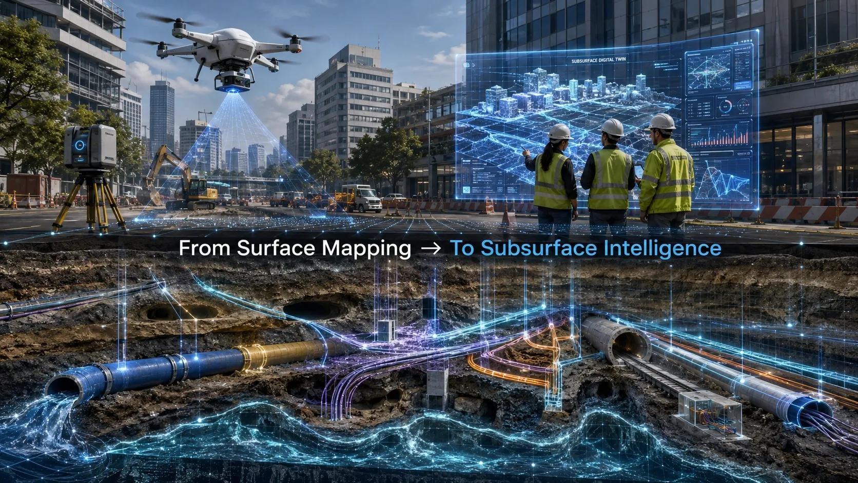
From a spatial intelligence point of view, quantum gravimetry opens a new frontier: the subsurface digital twin.
A subsurface digital twin is not just a 3D underground map. It is a structured, connected, and updateable model of what lies below the ground and how it interacts with above-ground infrastructure.
This could become a missing layer in the future BIM-GIS-Digital Twin stack.
Imagine a city infrastructure project where quantum gravimetry data is used to generate high-confidence underground models. These models are integrated with GIS layers, BIM models, utility networks, asset registers, and construction planning systems.
The result is not just better visualization. It is better decision-making.
A contractor can know where not to excavate.
A utility company can detect underground risk zones.
A city authority can plan infrastructure corridors with fewer surprises.
A mining company can identify density anomalies with higher confidence.
A disaster management team can assess sinkhole or subsidence risk before visible failure occurs.
This also has strong relevance for XR and immersive field workflows.
A field engineer wearing an XR headset could stand on a construction site and see the underground utility network aligned with the real-world location. Gas lines, fiber cables, drainage pipes, old foundations, and risk zones could appear as contextual overlays.
This moves XR from a visual demonstration tool to an operational safety tool.
The same applies to UAVs.
As quantum sensors become smaller and more deployable, the possibility of combining UAV-based LiDAR, photogrammetry, thermal imaging, and quantum gravimetry becomes powerful. A drone could capture the surface and subsurface context in one integrated survey workflow.
That would change how we define “site reality.”
Real-World Implication
Consider a major urban redevelopment project.
Before construction begins, the project team receives old utility drawings from multiple agencies. Some are accurate. Some are outdated. Some are incomplete. Some utilities may not be documented at all.
The project moves forward with caution, but uncertainty remains.
During excavation, an unknown utility is hit. Work stops. Safety risk increases. Cost escalates. Public disruption begins. Blame moves across contractors, consultants, and authorities.
This is a common infrastructure problem.
Now imagine a different workflow.
Before excavation, the project area is scanned using a combination of LiDAR, GPR, electromagnetic detection, and quantum gravimetry. The results are converted into a federated subsurface model. The model is linked to BIM, GIS, work packages, risk registers, and field execution plans.
The construction team no longer works with scattered underground assumptions. They work with a verified subsurface intelligence layer.
This is not only about avoiding accidents. It is about reducing uncertainty in infrastructure delivery.
In India, this has major relevance.
Urban infrastructure is expanding rapidly. Metro networks, smart cities, highways, water supply projects, data centers, renewable energy parks, industrial corridors, and underground utility networks are growing across the country.
But subsurface data quality remains a major challenge.
If India wants faster, safer, and more resilient infrastructure delivery, underground intelligence cannot remain an afterthought.
GeoThinking Insight
The real value of quantum gravimetry is not only technical. It is philosophical.
It reminds us that the world is not limited to what is visible.
In geospatial thinking, visibility has always shaped confidence. If we can see it, scan it, map it, or model it, we feel we understand it.
But the physical world is layered. Some of its most important risks are hidden. Some of its most valuable resources are buried. Some of its most critical systems operate silently below the surface.
Quantum gravimetry challenges our visual bias.
It asks us to expand the meaning of spatial intelligence from surface mapping to physical truth detection.
This is where the next generation of digital twins may evolve.
Not just city twins.
Not just building twins.
Not just infrastructure twins.
But layered reality twins.
Twins that understand surface, subsurface, structure, environment, utilities, movement, material density, and operational behavior as one connected system.
That is when digital twins begin to move from representation to intelligence.
Closing Reflection
The future of infrastructure will not be shaped only by better maps.
It will be shaped by better ways of knowing.
Quantum gravimetry gives us a glimpse of a future where the invisible underground becomes measurable, modelled, and operationally useful.
For planners, engineers, contractors, utilities, mining companies, and city authorities, this could reduce risk, improve safety, and bring a new level of confidence to decision-making.
The real shift is simple but powerful:
From mapping what is visible to understanding what is hidden.
And perhaps that is the next frontier of GeoThinking.
Because the smartest digital twin of the future will not only show us the world above ground.
It will help us understand the world beneath it.