Introduction
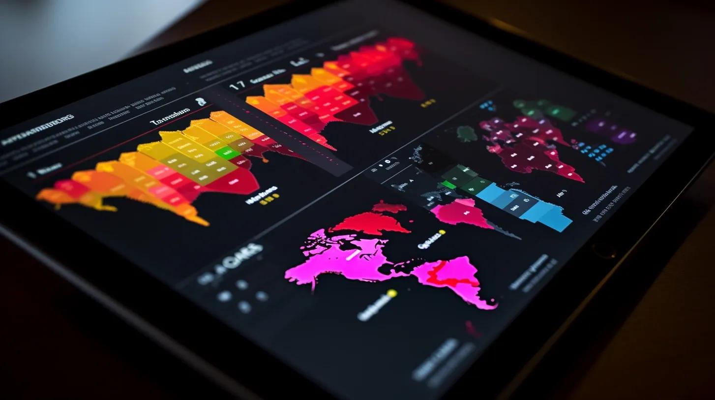
In today's interconnected world, risk assessment has evolved into a multi-dimensional field, encompassing not just financial metrics but also environmental, geopolitical, and location-based economic factors. Geospatial technology stands at the confluence of these variables, offering a spatial context to help organizations make informed decisions. Understanding the geographical dynamics can yield valuable insights into various kinds of risk profiles. This article aims to elucidate the critical role that geospatial technology plays in enriching risk analysis by providing an expansive spatial perspective.
Geospatial Technology: An Overview
Geospatial technology refers to equipment and software used to acquire, analyze, and interpret geographic information. Components often include Geographic Information Systems (GIS), Global Positioning Systems (GPS), and remote sensing instruments. Through these technologies, it is possible to capture real-time spatial data, overlay multiple types of information on geographical maps, and perform complex analyses.
Environmental Risks
One of the most immediate applications of geospatial technology is in assessing environmental risks. Whether it is predicting the spread of wildfires, assessing flood risks, or determining the ecological impact of industrial activity, spatial context is indispensable. For instance, GIS can help overlay soil quality maps, land use patterns, and weather data to predict the vulnerability of specific regions to natural disasters. In doing so, it offers actionable insights that can influence both emergency response strategies and long-term planning.
Geopolitical Conditions
In the realm of geopolitics, understanding the spatial intricacies can be invaluable for both businesses and governments. Geo-fencing and real-time tracking can monitor the movements of assets or personnel across potentially risky territories. The technology can also map conflict zones, electoral demographics, and social unrest, giving a more nuanced understanding of geopolitical stability. For organizations operating internationally, this can mean the difference between making a risky investment and identifying safer, more sustainable opportunities.
Location-Based Economic Factors
Geospatial technology can also analyze location-based economic factors, such as market density, consumer behavior, and accessibility. By mapping these variables, organizations can assess market penetration, the risk of over-saturation, and the viability of new business locations. This sort of spatially-aware market analysis can be particularly beneficial for sectors like retail, real estate, and logistics, where location is a critical factor in risk assessment.
The Advantage of Integration
Perhaps the most powerful aspect of using geospatial technology in risk assessment is the capability to integrate various types of data for a more comprehensive analysis. By combining spatial data with other metrics like social indicators, financial data, and even sentiment analysis, it becomes feasible to generate multi-layered risk profiles. For instance, an agricultural company could integrate soil quality data, crop yield histories, and economic indicators to assess the risks associated with farming in a particular region. This integrated approach can significantly enhance predictive accuracy and result in more robust risk mitigation strategies.
Real-World Applications
Several sectors have already begun to incorporate geospatial technology into their risk assessment processes:
Insurance : Companies can assess risks related to natural disasters, property values, and even crime rates.
Healthcare : Public health risks, such as the spread of contagious diseases, can be predicted by analyzing movement patterns.
Supply Chain Management : Logistics companies can optimize routes by considering geopolitical risks and environmental factors.
Future Outlook
As geospatial technologies continue to evolve, their utility in risk assessment will grow proportionally. Developments like machine learning algorithms, real-time data analytics, and more advanced remote sensing capabilities are likely to make these tools even more indispensable. The advent of Big Data also means that organizations will be capable of handling larger sets of complex spatial information, making their risk profiles even more accurate.
Conclusion
Understanding the spatial context is crucial for a comprehensive risk assessment strategy. Geospatial technology offers the tools to make this a reality, allowing for more informed decisions based on a multi-dimensional understanding of various risk factors. As this technology continues to evolve, so too will its capacity to contribute to increasingly sophisticated and comprehensive risk analyses. Therefore, organizations keen on mitigating various forms of risks would do well to invest in geospatial capabilities, enriching their decision-making processes with invaluable spatial insights.