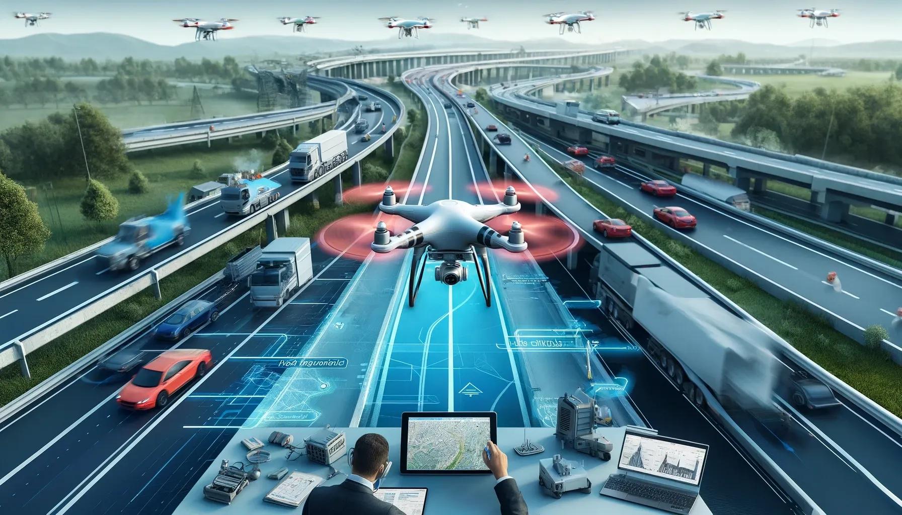
The Massachusetts Department of Transportation (MassDOT) Aeronautics Division, in collaboration with MassDOT Highway, is embarking on a groundbreaking project to enhance highway maintenance using drone technology and advanced data analytics. This initiative, which aims to secure a $1 million grant from the Federal Highway Administration’s Accelerated Innovation Deployment (AID) Program, represents a significant leap forward in the application of unmanned aerial systems (UAS) for transportation infrastructure management.
The Motivation Behind the Initiative
The primary motivation for integrating drone technology into highway maintenance is the need for more efficient, accurate, and safer inspection processes. Traditional methods of highway inspection are often labor-intensive, time-consuming, and potentially hazardous. Drones, equipped with high-resolution cameras, LiDAR sensors, and thermal imaging capabilities, offer a viable solution to these challenges by providing comprehensive and detailed assessments of infrastructure conditions.
Key Components of the Drone Technology Project
The MassDOT drone technology project encompasses several key components, each designed to leverage the unique capabilities of drones and data analytics:
High-Resolution Imagery and 3D Mapping: Drones will capture high-resolution images and create 3D maps of highway infrastructure. These visual data sets will enable precise identification of defects such as cracks, potholes, and structural weaknesses that may not be visible to the naked eye. The ability to generate accurate 3D models of infrastructure will also facilitate better planning and prioritization of maintenance activities.
LiDAR Scanning: Light Detection and Ranging (LiDAR) technology will be used to produce detailed topographical maps and measure distances accurately. LiDAR sensors can penetrate through foliage and other obstacles, providing a clear view of the underlying terrain and infrastructure. This capability is particularly useful for assessing areas that are difficult to access, such as bridges and tunnels.
Thermal Imaging: Thermal cameras mounted on drones will detect temperature variations on the surface of highways. These variations can indicate issues such as water infiltration, poor insulation, and other anomalies that may compromise the integrity of the infrastructure. Thermal imaging is an effective tool for identifying problems that are not visible through standard visual inspections.
Benefits of the Drone Technology Project
The implementation of drone technology in highway maintenance offers several significant benefits:
Enhanced Safety: By reducing the need for manual inspections, drones minimize the exposure of workers to hazardous environments, such as high-traffic areas and structurally compromised infrastructure. This leads to a safer working environment and reduces the risk of accidents and injuries.
Increased Efficiency: Drones can cover large areas quickly and gather data in a fraction of the time required for traditional inspection methods. This increased efficiency translates to faster identification and remediation of issues, ultimately leading to improved maintenance schedules and reduced downtime for highway users.
Cost Savings: The use of drones can result in substantial cost savings by reducing labor costs and minimizing the need for extensive scaffolding, road closures, and other logistical expenses associated with manual inspections. Additionally, early detection of issues allows for more cost-effective repairs, preventing minor problems from escalating into major and costly repairs.
Improved Data Accuracy: The high-resolution imagery, 3D mapping, LiDAR scans, and thermal images provided by drones offer a level of detail and accuracy that surpasses traditional inspection methods. This precise data enables more informed decision-making and better-targeted maintenance efforts.
Alignment with Broader Goals
The MassDOT drone technology initiative aligns with broader goals of enhancing equity, mobility, and climate resilience in transportation infrastructure. By improving the efficiency and effectiveness of highway maintenance, the project contributes to more reliable and resilient transportation networks, which are essential for economic growth and community well-being.
Equity: Ensuring that all communities have access to well-maintained transportation infrastructure is a key aspect of equity. Drones can help identify and address maintenance needs in underserved areas, promoting equitable distribution of resources and services.
Mobility: Reliable and well-maintained highways are crucial for the smooth flow of goods and people. By streamlining maintenance processes, the drone technology project supports enhanced mobility and reduces the likelihood of traffic disruptions caused by infrastructure failures.
Climate Resilience: The ability to quickly assess and respond to infrastructure issues is vital for climate resilience. Drones can help identify vulnerabilities in highways that may be exacerbated by extreme weather events, enabling proactive measures to strengthen infrastructure and mitigate the impacts of climate change.
Future Implications and Policy Considerations
The successful implementation of drone technology for highway maintenance in Massachusetts could serve as a model for other states and regions. As drone technology continues to evolve, its applications in transportation infrastructure management are likely to expand, encompassing areas such as disaster response, construction monitoring, and environmental assessment.
Policymakers will need to consider several factors to fully realize the potential of drone technology in highway maintenance:
Regulatory Framework: Developing a comprehensive regulatory framework that addresses issues such as airspace management, privacy, and data security is essential for the safe and effective use of drones. Collaboration between federal, state, and local authorities will be crucial in establishing clear guidelines and standards.
Training and Workforce Development: Equipping the workforce with the skills needed to operate drones and analyze the data they collect is a critical component of the initiative. Investment in training programs and certification processes will ensure that personnel are adequately prepared to leverage drone technology.
Public Engagement and Transparency: Engaging with the public and stakeholders to build trust and transparency around the use of drone technology is important. Clear communication about the benefits, safety measures, and privacy protections associated with drone operations can help gain public support and acceptance.
Conclusion
The MassDOT Aeronautics Division and MassDOT Highway's collaboration to pioneer drone technology for smarter highway maintenance represents a significant advancement in transportation infrastructure management. By harnessing the power of drones and data analytics, this initiative promises to enhance safety, efficiency, and cost-effectiveness in highway maintenance, while also contributing to broader goals of equity, mobility, and climate resilience. As this project progresses, it has the potential to set a new standard for the use of drone technology in the transportation sector, paving the way for a smarter and more resilient future.
For more detailed insights, visit the MassDOT Aeronautics’ Drone Life article.