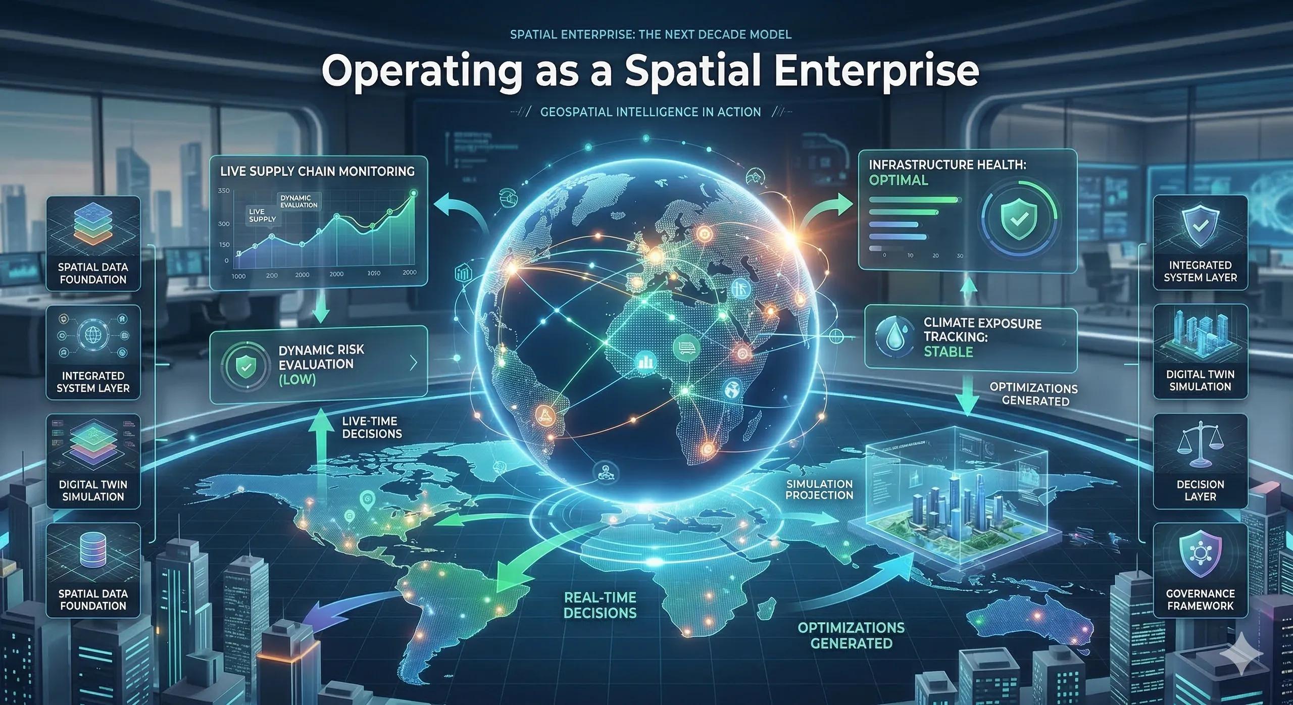
The Shift Is Already Underway
Most organizations still operate in a familiar way.
Data is collected.
Reports are generated.
Decisions are made periodically.
Geography is referenced when needed but rarely embedded.
But a different model is emerging.
In this model:
systems are continuously monitored
risks are dynamically evaluated
decisions are triggered in real time
geography is always visible
This is not an incremental improvement.
It is a structural shift.
Organizations are beginning to operate as spatial enterprises.
What Is a Spatial Enterprise?
A spatial enterprise is not defined by tools, dashboards, or even digital twins.
It is defined by how decisions are made .
In a spatial enterprise:
location is a core variable in every decision
systems are monitored geographically in real time
risks are understood as spatial exposure
strategy is continuously adjusted based on geographic signals
Geography is not consulted.
It is always present in the operating model .
From Periodic Decisions to Continuous Awareness
Traditional organizations operate on cycles:
quarterly reviews
monthly reports
periodic planning
Spatial enterprises operate differently.
They function through continuous awareness .
This includes:
real-time monitoring of infrastructure and assets
dynamic risk evaluation across regions
live supply chain visibility
ongoing climate exposure tracking
Decisions are no longer delayed until the next review cycle.
They are triggered when conditions change .
The Core Components of a Spatial Enterprise
To operate this way, several layers must come together.
1️⃣ Spatial Data Foundation
geospatial datasets
infrastructure mapping
environmental layers
asset location data
This provides the base reality of the organization.
2️⃣ Integrated System Layer
enterprise systems (ERP, operations, risk)
IoT and sensor networks
data integration pipelines
This connects physical systems with digital intelligence.
3️⃣ Digital Twin Layer
simulation environments
scenario modeling
predictive analytics
This allows organizations to test decisions before executing them.
4️⃣ Decision Layer
defined decision triggers
ownership and accountability
workflow integration
This is where insight becomes action.
5️⃣ Governance Layer
spatial KPIs
risk thresholds
escalation frameworks
This ensures consistency and discipline in decision-making.
What Changes in Practice
When organizations operate as spatial enterprises, several shifts become visible.
Decisions Become Location-Aware
Every investment, expansion, or operational adjustment is evaluated geographically.
Risk Becomes Predictable
Instead of reacting to disruptions, organizations identify exposure early.
Operations Become Adaptive
Supply chains, infrastructure, and services adjust dynamically to changing conditions.
Strategy Becomes Continuous
Planning is no longer static.
It evolves based on real-time spatial signals.
A Practical Illustration
Consider a global logistics organization.
Traditional model:
periodic route optimization
delayed response to disruptions
siloed decision-making
Spatial enterprise model:
real-time monitoring of routes and ports
dynamic rerouting based on congestion or risk
integration of climate, infrastructure, and operational data
The difference is not just efficiency.
It is decision speed and resilience .
The Monetization Bridge
As organizations move toward this model, demand is growing for integrated geospatial platforms, digital twin ecosystems, and decision frameworks that connect spatial data with enterprise systems. These solutions enable real-time monitoring, predictive simulation, and decision orchestration, allowing organizations to operate as spatial enterprises at scale.
Looking Ahead: The Next Decade
Over the next decade, this model will expand across industries:
infrastructure and construction
manufacturing and industrial operations
logistics and supply chains
energy and utilities
government and urban systems
Organizations that adopt this approach early will gain advantages in:
resilience
efficiency
risk management
strategic clarity
Closing Insight: From Awareness to Operating Model
The journey of this series has followed a clear path:
from spatial data
to spatial insight
to spatial decisions
to spatial organizations
This final step is different.
It is not about understanding geography.
It is about operating through it .
Final Thought
Geography has always shaped outcomes.
What is changing is how organizations respond to it.
Those that embed geography into their operating model will not just adapt to change.
They will anticipate it .