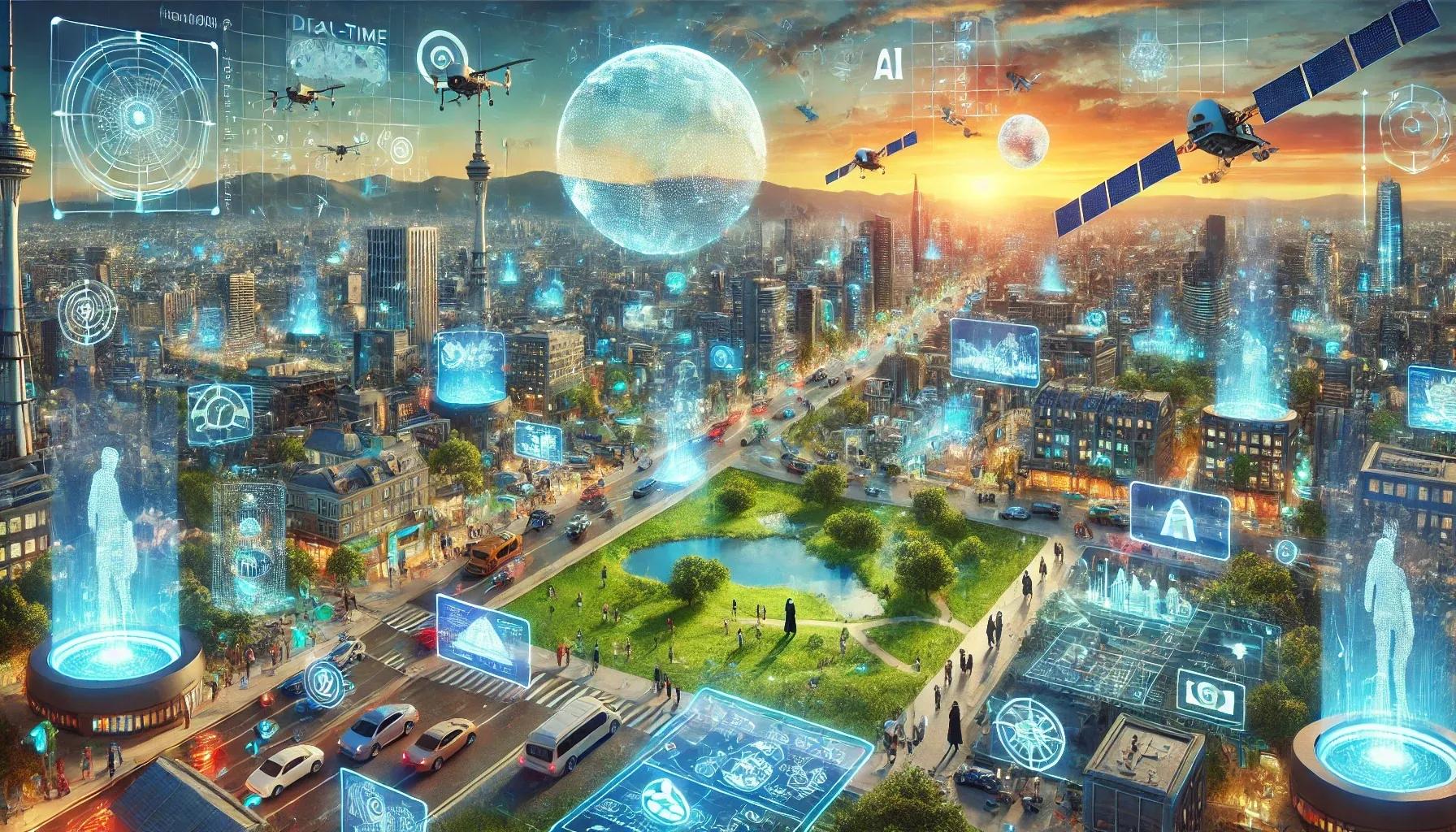
The geospatial industry is witnessing a transformative era, driven by technological advancements and an increasing need for spatial data integration across diverse industries. As we approach 2025, the field is set to expand its horizons with innovations that promise to enhance efficiency, precision, and accessibility. This article delves into the top trends that will shape the geospatial landscape in 2025 and beyond.
1. Artificial Intelligence and Machine Learning Revolutionizing Geospatial Analytics
The integration of Artificial Intelligence (AI) and Machine Learning (ML) is set to redefine geospatial data analysis. These technologies empower organizations to process massive datasets with unparalleled accuracy and speed, enabling predictive modeling and pattern recognition. For example, AI-driven tools are optimizing urban planning, environmental monitoring, and disaster management by identifying actionable insights in real-time. Automation of repetitive GIS tasks is also becoming mainstream, paving the way for higher efficiency and accuracy.
2. Growth of Location-Based Services
Location-based services (LBS) are no longer confined to navigation apps; they are now integral to personalized customer experience and operational optimizations in industries such as logistics, retail, and healthcare. Enhanced mapping technologies and real-time location tracking are enabling businesses to deliver hyper-personalized services, ensuring better engagement and productivity.
3. Advances in Data Collection Technologies
From drones and satellites to mobile mapping systems, data collection methods are becoming more sophisticated. These advancements allow for the capture of high-resolution spatial data from previously inaccessible regions. Drones, for instance, are revolutionizing sectors like agriculture and infrastructure inspection by offering cost-effective and efficient monitoring solutions. Ethical considerations in data collection are also gaining prominence, ensuring compliance with privacy regulations.
4. The Rise of Digital Twins
Digital twins, virtual models of physical environments, are gaining momentum across industries. By incorporating real-time sensor data, these models facilitate the simulation and optimization of processes, providing actionable insights into urban development, infrastructure management, and climate impact assessments. Cities and enterprises alike are leveraging digital twins for predictive maintenance and resource optimization.
5. Real-Time GIS and Big Data Analytics
The fusion of Internet of Things (IoT) devices with GIS platforms has ushered in the era of real-time geospatial data processing. Dynamic data visualization is proving invaluable in applications like traffic management, environmental monitoring, and emergency response. The ability to analyze vast amounts of geospatial data in real-time enhances decision-making, ensuring timely and effective interventions.
6. Customized Geospatial Solutions
Industries are moving away from one-size-fits-all geospatial solutions to customized applications tailored to specific operational needs. Whether in agriculture, energy, or real estate, businesses are demanding tools that integrate seamlessly with their workflows to deliver actionable insights. This customization trend underscores the importance of developing sector-specific solutions that address unique challenges.
7. Blockchain for Geospatial Data Integrity
Blockchain technology is emerging as a key enabler of secure and transparent geospatial data sharing. Its ability to create tamper-proof records ensures data reliability and builds trust in applications requiring high accountability, such as land registry systems and supply chain logistics. This integration is particularly valuable in industries where data authenticity is critical.
8. Development of Geospatial AI Models
The emergence of large geospatial AI models is set to revolutionize how machines interpret and interact with the physical world. Leveraging user-generated data, companies are developing sophisticated models that enable advanced spatial reasoning. For instance, Niantic’s "Large Geospatial Model," built using millions of locations scans, exemplifies this trend by enhancing the accuracy of augmented reality applications.
9. Proliferation of Earth Observation Satellites
The deployment of next-generation Earth Observation (EO) satellites is driving the geospatial industry into new dimensions. These satellites, equipped with high-resolution imaging capabilities, are critical for applications such as precision agriculture, environmental monitoring, and defense. The EO market is poised for exponential growth, reflecting the increasing reliance on satellite data for global operations.
10. Cloud Computing and GIS
Cloud computing has become a cornerstone for managing geospatial data efficiently. It enables organizations to store and process massive datasets, facilitating collaboration across global teams. The scalability of cloud platforms ensures seamless integration of geospatial data into enterprise systems, enabling real-time data access and analysis.
11. Evolving Legal and Policy Frameworks
With the increasing reliance on geospatial data, the need for robust legal and policy frameworks has become critical. Revised geospatial policies are addressing issues related to digital ethics, data privacy, and cybersecurity. These policies aim to promote data sharing between governments and private entities while ensuring ethical use and compliance with international standards.
12. Focus on Skills Development
The growing complexity of geospatial technologies is driving demand for specialized skills. Educational institutions and corporate training programs are aligning their curricula to equip professionals with expertise in AI, GIS, and data analytics. Upskilling the workforce will be crucial for leveraging the full potential of geospatial innovations.
13. Ethical Data Collection and Usage
As data collection methods become more advanced, ethical considerations are taking center stage. Organizations are focusing on implementing privacy-conscious techniques to ensure compliance with global regulations. Ethical geospatial practices not only build trust but also pave the way for sustainable industry growth.
In conclusion, the geospatial industry is at the cusp of a technological renaissance. Emerging trends such as AI integration, real-time GIS, digital twins, and blockchain are redefining how spatial data is collected, analyzed, and utilized. These advancements promise to unlock new opportunities across industries, enhancing operational efficiency and decision-making.
As we move toward 2025, the geospatial sector will continue to evolve, addressing complex global challenges with innovative solutions. The convergence of these technologies will not only expand the boundaries of geospatial capabilities but also reinforce its role as a critical driver of digital transformation. The future of geospatial technology is as vast as the landscapes it maps, and the possibilities are boundless.