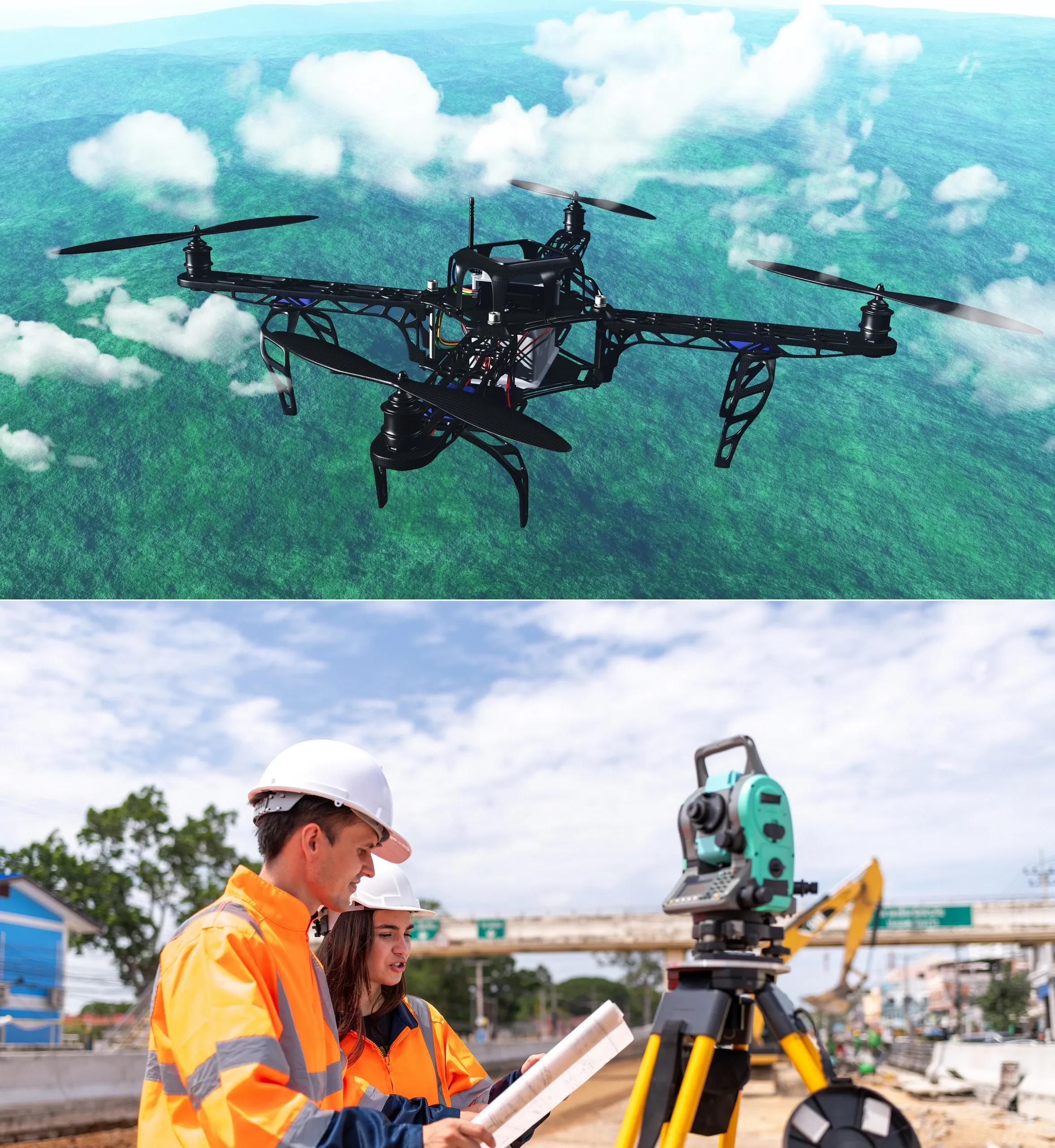
Surveying has been a cornerstone of land measurement and spatial analysis for centuries. It plays a vital role in infrastructure development, urban planning, environmental conservation, and countless other sectors. However, as technology has evolved, so too has the methodology of surveying. Two prominent techniques in this field are traditional surveying and mobile mapping. While traditional surveying has been the mainstay of geospatial measurement for decades, mobile mapping, driven by advances in remote sensing and automation, has gained significant traction. This article delves into the key differences between mobile mapping and traditional surveying, highlighting their pros, cons, and specific applications in today’s dynamic world.
What is Traditional Surveying?
Traditional surveying refers to the manual process of measuring distances, angles, and elevations using a combination of tools such as total stations, theodolites, and GPS receivers. Surveyors physically visit the site and take point-to-point measurements to create an accurate representation of the landscape.
Pros of Traditional Surveying:
High Precision : Traditional surveying is known for its accuracy, especially in small-scale, detail-oriented projects. Precision can be as fine as millimeters, making it indispensable for engineering and construction projects that require exact measurements.
Cost-Effective for Small Projects : For small areas or simple tasks, traditional surveying can be more cost-effective than deploying advanced technologies.
Time-Tested Reliability : Surveyors have refined traditional methods over centuries, making the process highly reliable when precision is key.
No Need for Specialized Equipment : Although tools like total stations and GPS receivers are involved, traditional surveying doesn't always require high-end or complex software or hardware setups.
Cons of Traditional Surveying:
Time-Consuming : Since surveyors must manually take measurements from different points, traditional surveying can be slow, particularly for large projects.
Labor-Intensive : It requires a team of surveyors to be on-site, often traversing difficult or inaccessible terrain, making it both labor-intensive and hazardous in certain environments.
Limited Coverage : Traditional surveying techniques typically provide measurements for discrete points, which are later interpolated into maps or models. This results in limited spatial coverage, particularly when compared to modern remote sensing techniques.
Dependent on Line of Sight : Tools like theodolites and total stations require a clear line of sight, which can be challenging in densely built or vegetated areas.
What is Mobile Mapping?
Mobile mapping is a modern technique that involves collecting geospatial data from a moving vehicle equipped with an array of sensors, such as LiDAR (Light Detection and Ranging), GPS, and cameras. This allows for rapid and continuous data collection across large areas. These vehicles may be terrestrial (mounted on cars or UAVs) or aerial, depending on the application.
Pros of Mobile Mapping:
Rapid Data Collection : Mobile mapping systems can cover vast areas in a fraction of the time required by traditional methods. Vehicles equipped with LiDAR can map entire cities in days, compared to the weeks or months it might take for a traditional surveying team.
Comprehensive Coverage : Mobile mapping captures continuous data along the route of the vehicle, offering a denser, more complete dataset than traditional point-based surveying. This is particularly useful for creating detailed 3D models of complex urban environments.
Automated Processing : Data collected through mobile mapping is often processed using advanced software that can automatically generate 3D models, point clouds, and GIS-compatible data, reducing the need for manual interpretation.
Flexibility and Accessibility : Mobile mapping systems can be deployed in areas where traditional surveying is difficult, such as urban canyons, forests, and roadsides. In addition, mobile mapping can be performed from different platforms, including UAVs and drones, which can reach areas inaccessible to ground vehicles.
Reduced Labor Requirements : With fewer personnel required on-site and automation handling much of the data processing, mobile mapping is less labor-intensive than traditional methods.
Cons of Mobile Mapping:
High Initial Investment : The equipment required for mobile mapping, including LiDAR scanners, high-precision GPS systems, and specialized cameras, can be expensive. This makes mobile mapping a costly upfront investment, particularly for smaller firms or projects.
Processing Complexity : While data collection may be quick, processing large volumes of data can be time-consuming and computationally intensive. Specialized software and skilled personnel are required to interpret and process the data correctly.
Accuracy Can Vary : The accuracy of mobile mapping data is highly dependent on the quality of the sensors and the environment in which it is collected. For example, GPS signals can be obstructed in urban environments or dense forests, leading to reduced accuracy.
Limited by Vehicle Accessibility : Mobile mapping is only effective where vehicles can travel. For remote or inaccessible areas, such as steep terrain or isolated islands, mobile mapping may not be a viable option.
Key Applications of Traditional Surveying and Mobile Mapping
Traditional Surveying Applications:
Construction Projects : For building construction, dam construction, or road planning, traditional surveying offers the high level of precision required for detailed site layouts and excavation plans.
Boundary Surveys : When determining property boundaries, traditional surveying ensures the high accuracy needed for legal documentation and land ownership disputes.
Topographic Mapping : Surveyors use traditional methods to create detailed topographic maps of smaller sites, especially in projects that do not require extensive data.
Geotechnical Studies : For infrastructure projects that involve studying soil composition or stability, traditional surveying provides the necessary precision for safe design and construction.
Mobile Mapping Applications:
Urban Planning and Infrastructure Management : Mobile mapping is widely used in urban planning for creating 3D models of cities, monitoring infrastructure like bridges and roads, and developing smart city applications. It enables governments and planners to maintain up-to-date records of ever-changing urban environments.
Transportation and Autonomous Vehicles : Mobile mapping is critical for creating the high-definition maps required for autonomous vehicles. These maps provide accurate data on road geometry, signs, and obstacles, allowing vehicles to navigate safely.
Forestry and Environmental Monitoring : In forestry, mobile mapping offers a fast way to survey large areas for forest inventory management, deforestation monitoring, and habitat assessment. This is especially valuable in conservation efforts and environmental protection.
Disaster Management and Response : After natural disasters like earthquakes or floods, mobile mapping enables rapid assessment of the affected areas, helping authorities to map damage, assess risks, and plan recovery efforts.
Telecommunications and Utility Networks : Mobile mapping allows utility companies to map power lines, gas pipelines, and telecommunication networks efficiently, supporting maintenance, planning, and expansion projects.
Mobile Mapping vs. Traditional Surveying: Which to Choose?
The choice between mobile mapping and traditional surveying depends on the specific requirements of the project. Traditional surveying remains irreplaceable when extremely high precision is required, especially in small-scale projects like construction or legal boundary disputes. On the other hand, mobile mapping excels in large-scale, complex projects that require rapid data collection, comprehensive spatial coverage, and 3D modeling.
For projects like smart city planning, infrastructure management, and environmental monitoring, mobile mapping is often the preferred choice due to its efficiency and comprehensive data collection capabilities. However, for tasks that demand the utmost precision in measurement, traditional surveying remains the gold standard.
In conclusion, mobile mapping and traditional surveying each have their unique advantages and limitations. Understanding the specific needs of a project, including scale, accuracy, and terrain, is key to selecting the appropriate surveying method. As technology continues to advance, we are likely to see greater integration of both methods, leveraging the speed and coverage of mobile mapping with the precision of traditional surveying for optimized geospatial data collection and analysis.