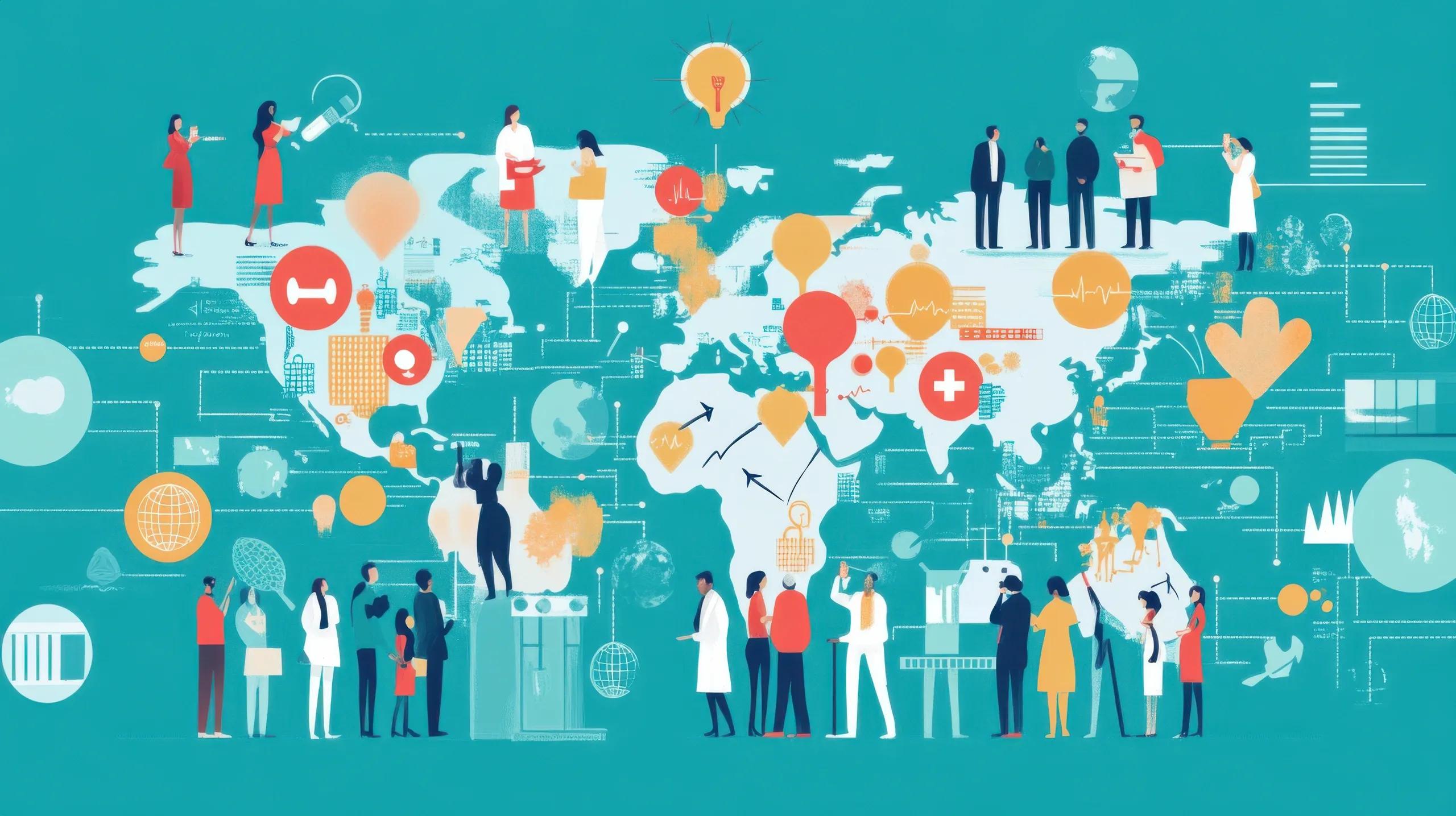
In rural India, access to healthcare services is not solely determined by physical distance from medical facilities. A broader set of non-medical factors, commonly referred to as Social Determinants of Health (SDH) , play a pivotal role in shaping individual and community health outcomes. These determinants include literacy levels, income status, gender equity, occupational safety, nutrition, and environmental quality. Understanding and mapping these variables is crucial for designing targeted interventions that address health inequities.
This article explores how mapping the SDH in rural India, particularly focusing on literacy, income, and gender indices, can offer actionable insights for healthcare planning, policymaking, and resource allocation.
What Are Social Determinants of Health (SDH)?
According to the World Health Organization (WHO), SDH are "the non-medical factors that influence health outcomes." They include:
Economic stability
Education access and quality
Healthcare access and quality
Neighborhood and built environment
Social and community context
In the Indian rural context, these factors are deeply interlinked with structural inequalities, traditional hierarchies, and regional disparities. Mapping these determinants allows for spatial analysis of health vulnerabilities, guiding interventions toward the most affected regions.
Why Mapping SDH Matters in Rural India
Rural India, home to nearly 65% of the population, faces persistent health challenges: high maternal mortality, undernutrition, waterborne diseases, poor health-seeking behavior, and a shortage of qualified healthcare professionals. These challenges are compounded by:
Low female literacy
Poor household incomes
Gender-based mobility restrictions
Limited digital and physical infrastructure
Geospatial mapping of SDH can visualize disparities, support resource optimization, and strengthen community health systems by identifying root causes rather than treating symptoms.
1. Correlating Literacy with Healthcare Access
a. Literacy as a Health Enabler
Literacy, especially female literacy, strongly influences health outcomes. It affects:
Health literacy (understanding of diseases and treatments)
Timely care-seeking behavior
Maternal and child health practices
Immunization uptake
Sanitation and hygiene practices
In districts where female literacy is below the national average (e.g., in states like Bihar, Jharkhand, and Uttar Pradesh), antenatal care visits and institutional deliveries are significantly lower.
b. GIS-Based Literacy Mapping
Using GIS layers, we can map literacy rates at the village or block level and overlay this with public health data such as:
Number of primary healthcare centers (PHCs)
Disease prevalence data (e.g., malaria, TB, diarrhea)
Mobile medical unit visits
Such spatial correlation reveals clusters of low literacy and poor health indicators, enabling targeted awareness campaigns and educational outreach.
2. Income and Economic Status
a. Income as a Determinant of Access
Economic stability directly affects affordability and utilization of healthcare services:
Poor households delay or avoid treatment due to cost.
Incomes influence diet, living conditions, and access to sanitation.
Out-of-pocket expenditure pushes many into poverty.
The National Family Health Survey (NFHS-5) highlights that wealth quintiles are strongly associated with disparities in nutrition, immunization, and child mortality.
b. Integrating Income Maps with Health Infrastructure
By integrating BPL (Below Poverty Line) data, PMAY (housing scheme) beneficiaries, and MNREGA participation with health facility maps, planners can assess:
Distance-to-care vs. affordability gap
Areas requiring subsidized or mobile health services
Need for community health worker (ASHA) coverage expansion
For example, a taluka with high BPL concentration but low PHC density may require deployment of telemedicine vans or health ATMs to fill the gap.
3. Gender Equity and Health Outcomes
a. Gender Gaps in Health-Seeking Behavior
In patriarchal rural settings, gender plays a critical role in:
Access to reproductive health services
Nutritional allocation within households
Mobility for medical checkups
Decision-making power regarding treatment
As per NFHS-5, indicators like anemia, unmet need for contraception, and malnutrition are significantly higher among women and girls in rural regions, pointing to a systemic gender bias.
b. Mapping Gender Indices
Gender-disaggregated datasets can be mapped to understand spatial patterns in:
Female-to-male literacy ratio
Gender-based enrollment in secondary education
Women's participation in SHGs and local governance
Health indicator differences (e.g., anemia, BMI, ANC visits)
Combining these with health infrastructure maps provides a lens for gender-targeted interventions, such as menstrual health programs or maternal health incentives in high-risk blocks.
Technological Approach: GIS and Data Integration
a. Data Sources
Census of India : Demographic, literacy, and gender data
NFHS : Health and nutrition indicators
SECC : Socio-Economic Caste Census for income levels
HMIS : Health Management Information System
OpenStreetMap / Bhuvan / NIC portals : Geographic boundaries and infrastructure
b. Analytical Tools
QGIS/ArcGIS for spatial overlays and thematic mapping
Google Earth Engine for remote sensing integration (e.g., land use, water bodies)
Python/R for geostatistical modeling
c. Output Visualizations
Heatmaps showing density of low-literacy/high-morbidity clusters
Accessibility buffers (5–10 km radius) around PHCs and CHCs
Correlation maps between gender index and child health indicators
Risk-priority matrix based on composite SDH indices
These tools allow planners and health departments to generate district-level dashboards and actionable reports.
Case Study: Mapping SDH in Aspirational Districts
The Government of India’s Aspirational Districts Programme aims to improve development indicators in 112 underperforming districts. A pilot geospatial SDH mapping initiative in Mewat (Haryana) combined literacy, income, and gender data to:
Identify ‘cold spots’ with the poorest maternal health indicators
Deploy additional ASHA workers and mobile clinics
Launch a targeted IEC (Information, Education & Communication) campaign focusing on female education
The results showed a 12% increase in antenatal checkups within six months.
Challenges and Considerations
Data Gaps : Incomplete or outdated village-level data hinder accuracy.
Privacy Concerns : Sensitive socio-economic data must be handled carefully.
Standardization : Integrating datasets from different sources requires common formats and geocodes.
Local Participation : Without community involvement, mapped interventions may lack cultural relevance or acceptance.
To address these, collaborations with local NGOs, Panchayati Raj institutions, and health volunteers are critical.
Conclusion
Mapping social determinants of health in rural India, particularly through the lens of literacy, income, and gender, offers a powerful method for diagnosing health system gaps and designing equitable interventions. With the aid of GIS and data analytics, public health planning can move from reactive to proactive, ensuring that no village or vulnerable group is left behind.
As India progresses toward Universal Health Coverage (UHC), embedding social determinants into healthcare planning is not just an academic exercise, it’s a public health imperative.