Nature’s Coastal Defense System
Mangroves are not just trees by the sea, they are living infrastructure .
Rooted at the meeting point of land and ocean, these ecosystems absorb storm surges, trap sediments, and lock away carbon for centuries beneath the tides.
In geospatial terms, mangroves are the coastline’s twin system , they stabilize its form and regulate its function.
And as climate risks rise, they’ve become the frontline for both blue carbon sequestration and disaster resilience .
Blue Carbon: The Ocean’s Hidden Climate Asset
“Blue carbon” refers to the carbon stored in coastal and marine ecosystems , primarily mangroves, seagrasses, and salt marshes.
Though mangroves cover less than 1% of global forest area , they account for up to 10% of all forest carbon storage , thanks to dense biomass and deep, anoxic soils that preserve organic carbon for millennia.
Average carbon stock:
Aboveground biomass (AGB): 100–300 tons C/ha
Soil carbon: 400–1,000 tons C/ha
That means 1 hectare of mangroves can store 3–5× more carbon than a terrestrial forest.
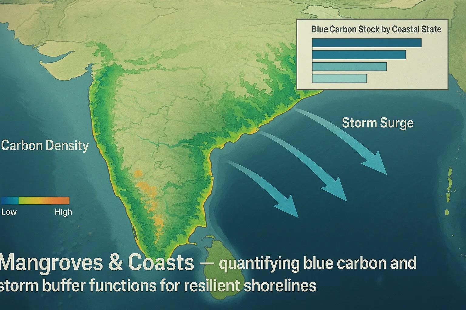
In India, total mangrove carbon stock is estimated at ~120 million tons , concentrated along the Sundarbans, Mahanadi delta, Godavari–Krishna estuaries, and Gulf of Kutch .
Mapping Mangroves from Space
Mangroves thrive in dynamic intertidal zones, where traditional field surveys struggle. Geospatial technologies fill this gap, enabling precise mapping of their extent, density, and health .
Sensor - Application - Example Output
Sentinel-2 MSI (10 m) - NDVI, NDBI, and water index differentiation - Species-level mapping
ALOS PALSAR / Sentinel-1 SAR - Structural mapping under cloud cover - Biomass and canopy height
Landsat 8/9 - Multi-temporal change detection - Decadal loss/gain patterns
ICESat-2 / UAV LiDAR - Canopy height & carbon estimation - 3D mangrove structure models
Combining radar and optical datasets produces Blue Carbon Density Maps , showing both biomass and soil carbon storage potential across coastal belts.
Coastal Change Detection: The Geospatial Story
India’s mangroves face dual pressures, erosion from the sea and encroachment from land .
Using multi-temporal satellite imagery (1990–2024):
Sundarbans: Net mangrove loss of ~5%, mainly from tidal erosion.
Andhra Pradesh: 18% mangrove gain through plantation and natural regeneration.
Gulf of Kutch: Fragmented expansion in saltpan-converted zones.
Change detection algorithms (e.g., NDMI , MNDWI ) highlight both natural geomorphic shifts and anthropogenic encroachments .
Case Example: Godavari–Krishna Delta Blue Carbon Project
A 2022 study by NRSC integrated Sentinel-1 SAR, Sentinel-2 MSI, and soil core data to quantify blue carbon in Andhra’s deltaic mangroves.
Total carbon density: 800 tons C/ha.
Annual sequestration rate: 6.2 tons C/ha/year.
Detected 12% area expansion since 2010 due to restoration.
This data now feeds into the MoEFCC’s National Carbon Stock Inventory , supporting India’s NDC targets and potential carbon credit programs for coastal states.
Storm Buffers: Natural Infrastructure in Action
Mangroves are nature’s shock absorbers , they dissipate wave energy and reduce storm surge heights by up to 60–80% across just a few hundred meters.
Geospatial storm-impact simulations show:
During Cyclone Amphan (2020) , areas shielded by dense mangroves in West Bengal experienced ~30% lower inundation depths .
Models using SRTM DEM + Sentinel-1 flood mapping quantified surge attenuation based on canopy density and elevation.
Such data-driven assessments now guide coastal zoning and climate adaptation planning , prioritizing natural buffers over hard infrastructure.
GeoAI and Coastal Monitoring
AI-driven analytics are accelerating blue carbon and mangrove mapping workflows:
Random Forest classifiers distinguish mangroves from salt marshes and aquaculture ponds.
Convolutional Neural Networks (CNNs) map canopy gaps and degradation hotspots from UAV imagery.
Time-series models (LSTM, Prophet) detect phenological shifts and tidal inundation patterns.
SAR coherence analysis tracks canopy recovery after cyclones.
These models are increasingly integrated into digital twin frameworks for real-time monitoring of coastal ecosystems.
Building Coastal Digital Twins
A Coastal Digital Twin merges ecological, climatic, and geospatial data layers into a continuously updating model of shoreline dynamics.
Core components:
Elevation & bathymetry (LiDAR, sonar)
Vegetation & biomass (Sentinel, GEDI)
Tidal & storm surge models (HYCOM, ADCIRC)
Carbon stock & sequestration layers
Applications:
Coastal vulnerability mapping under SLR scenarios.
Quantifying nature-based protection value (mangrove buffer width vs. flood reduction).
Monetizing blue carbon credits through MRV systems.
This approach transforms mangrove conservation from ecological empathy to economic logic , aligning biodiversity with resilience and finance.
Outlook: Mangroves as the Next Climate Frontier
As India expands its coastal resilience missions, under ICZM Phase II and NDC enhancement plans , mangroves are emerging as both carbon sinks and shields.
The next decade will see:
Blue carbon inclusion in carbon markets.
AI-assisted mangrove health dashboards.
Restoration digital twins simulating survival rates and storm mitigation benefits.
The future of coastal sustainability lies not in concrete, but in roots, sediments, and data.
Conclusion
Mangroves remind us that nature doesn’t just absorb impact, it anticipates it.
By integrating blue carbon analytics, LiDAR, and storm models, we can now value and protect the coastlines that protect us.
In the era of rising seas, mangroves are Earth’s most sophisticated coastal algorithm.