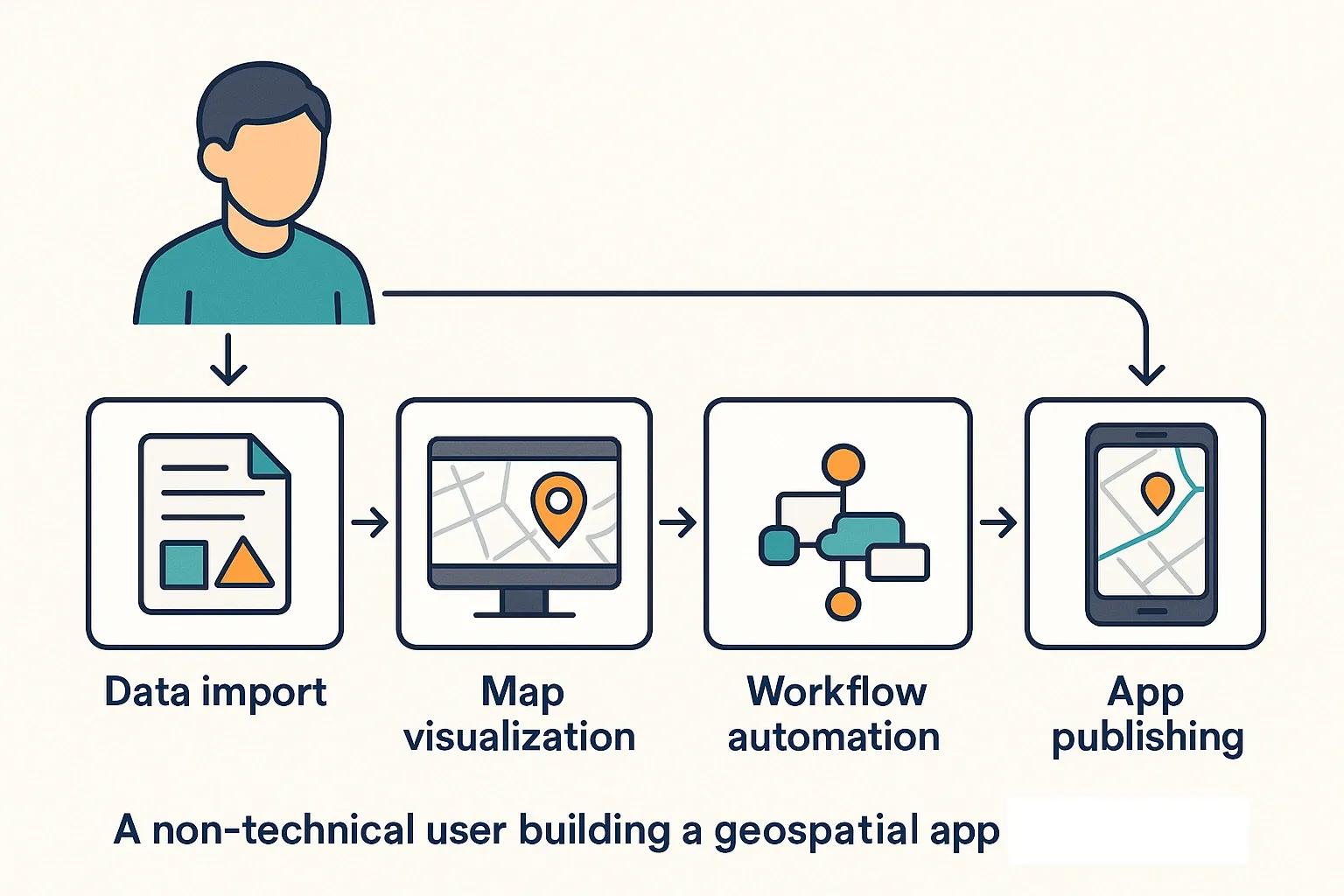
The demand for geospatial applications has surged across industries, from urban planning and agriculture to logistics and public safety. However, developing such applications traditionally requires specialized programming skills, geospatial data expertise, and significant time investment. This has limited innovation and participation to a relatively small pool of technically proficient professionals. Low-code platforms are changing this dynamic. By enabling rapid app development with minimal coding, these platforms empower domain experts, analysts, and even non-technical users to build and deploy geospatial solutions with speed and efficiency.
What Are Low-Code Platforms?
Low-code platforms are development environments that allow users to create applications through graphical user interfaces and pre-built components, rather than writing extensive code. These platforms offer:
Drag-and-drop tools
Pre-configured templates
Workflow automation
Integration connectors (APIs, databases, third-party services)
Responsive UI design tools
Low-code platforms reduce the dependency on full-stack developers and help organizations prototype, test, and deploy apps quickly.
The Role of Low-Code in Geospatial Applications
Geospatial applications deal with location-based data, maps, satellite imagery, sensor networks, GPS coordinates, spatial analytics, etc. Creating such applications from scratch typically involves:
Setting up spatial databases (e.g., PostGIS)
Integrating with GIS servers (e.g., ArcGIS Server, GeoServer)
Rendering interactive maps using libraries like Leaflet or OpenLayers
Writing backend logic for data processing and analytics
Managing security, scalability, and UI responsiveness
Low-code platforms tailored for geospatial needs simplify this process by providing reusable spatial components and cloud-hosted services, allowing domain specialists to focus on use cases rather than infrastructure.
Key Features of Geospatial Low-Code Platforms
Map Visualization Components Built-in tools for displaying raster and vector data, including base maps (e.g., OpenStreetMap, Google Maps) and overlays.
Spatial Data Management Ability to import shapefiles, GeoJSON, KML, or connect to external spatial data services via APIs.
Geoprocessing Tools Prebuilt functions for buffering, intersecting, proximity analysis, heatmaps, route optimization, etc.
Integration with Sensors and IoT Support for ingesting real-time data from GPS devices, drones, and environmental sensors.
Workflow Automation Logic builders for tasks like sending alerts, updating records, generating reports, or initiating fieldwork.
User Access Control Role-based access and secure sharing of geospatial dashboards or mobile apps.
Cross-Platform Deployment Auto-generated web apps and mobile-friendly interfaces, reducing the need for separate development cycles.
Popular Low-Code Tools Supporting Geospatial Development
Google AppSheet Offers integration with Google Maps and Sheets. Users can build apps that collect and visualize spatial data, ideal for field data collection or asset tracking.
Esri Experience Builder & AppStudio Tailored for GIS users, these allow rapid creation of map-based web apps and native mobile apps using Esri’s ArcGIS ecosystem.
Maptionnaire Designed for urban planners and civic engagement, this platform allows creation of participatory mapping apps without coding.
FME Flow (Safe Software) While not a low-code platform in the traditional UI-driven sense, FME allows non-programmers to automate geospatial workflows using a visual interface.
Microsoft Power Apps + Azure Maps Combines Microsoft’s low-code app builder with its mapping and location analytics services.
Geocortex Workflow Provides drag-and-drop capabilities for building GIS workflows on top of ArcGIS platforms.
Use Cases: Fast Deployment in Action
1. Disaster Management Dashboards
Local government officials can build emergency response dashboards showing flood zones, relief camp locations, and real-time weather data without coding, enabling quicker response times.
2. Agricultural Field Monitoring
Agri-tech professionals can develop apps that let farmers log crop data, view NDVI (Normalized Difference Vegetation Index) imagery, and receive alerts based on satellite data, all with simple map-based interfaces.
3. Smart City Maintenance
Municipal teams can create apps to track potholes, manage streetlight repair schedules, or visualize waste collection routes, using mobile forms and GPS-tagged input.
Advantages for Non-Tech Users
Reduced Learning Curve : Visual builders and map templates reduce the need for geospatial or programming background.
Faster Time to Market : Applications can be developed in days or weeks rather than months.
Cost-Effective : Avoids hiring dedicated GIS developers for small- to mid-scale apps.
Greater Experimentation : Encourages iterative prototyping by planners, utility managers, and field teams.
Improved Collaboration : Teams across departments can contribute to the development and deployment process.
Limitations and Challenges
Customization Limits : Complex spatial algorithms or specialized UI elements may still require custom coding.
Vendor Lock-In : Some platforms may limit portability due to proprietary data formats or pricing models.
Scalability Concerns : Low-code apps may struggle with very large datasets or intensive processing tasks.
Security and Compliance : Apps built by non-technical users might miss critical security configurations unless guided by IT teams.
Best Practices for Implementation
Start with MVPs (Minimum Viable Products) Focus on core functionality to solve immediate problems before adding complexity.
Involve IT for Governance Ensure apps follow enterprise security, compliance, and data management standards.
Train Domain Experts Upskill planners, analysts, and field officers to maximize the benefits of low-code platforms.
Leverage Open Data Use publicly available geospatial datasets (e.g., Bhuvan, OpenStreetMap) to enrich applications.
Monitor and Iterate Collect user feedback and usage metrics to improve application performance and relevance.
Future Outlook
As spatial data becomes increasingly embedded in decision-making processes, the democratization of geospatial app development is critical. The convergence of low-code tools with AI (e.g., automated feature detection in satellite images), real-time IoT integrations, and cloud GIS infrastructure is pushing the boundaries of what non-tech users can build. India’s increasing digital public infrastructure (DPI) stack, including platforms like Gati Shakti and India Stack, is likely to further benefit from low-code geospatial solutions that local administrators and entrepreneurs can deploy independently.
Conclusion
Low-code platforms are breaking down traditional barriers in geospatial app development. By enabling faster, accessible, and cost-effective application deployment, they empower a broader range of users, from planners and engineers to community organizations and small businesses. As these platforms evolve to support more advanced analytics and seamless integration, they will play a pivotal role in accelerating digital transformation across spatially aware sectors.