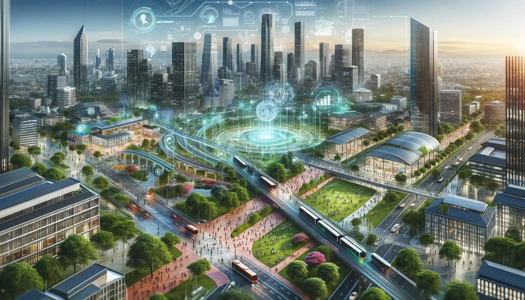
In the dynamic landscape of urban development, the integration of Geographic Information Systems (GIS) and Building Information Modeling (BIM), collectively known as GeoBIM, is revolutionizing the way we envision, design, and build the cities of the future. This fusion creates a powerful tool that offers a more comprehensive understanding of the built environment, allowing for smarter, more efficient, and sustainable urban planning and construction.
Understanding GeoBIM
GeoBIM combines the geographical context provided by GIS with the detailed architectural and engineering design data from BIM. While BIM focuses on the specifics of building construction, including aspects like material specifications and building processes, GIS brings in the geographical and spatial context, such as location, topography, and surrounding infrastructure.
Revolutionizing Smart City Projects
The integration of GeoBIM into smart city projects presents a paradigm shift in urban development. With the world rapidly urbanizing, smart cities are no longer just a futuristic concept but a necessary evolution. They offer solutions to many of the challenges posed by urbanization, from environmental sustainability to infrastructure efficiency. GeoBIM plays a critical role in this transformation.
Case Studies: GeoBIM in Action
Amsterdam Smart City Initiative : Amsterdam, known for its innovative approach to city planning, has implemented GeoBIM in its smart city projects. By integrating real-time data on traffic, energy usage, and other urban dynamics into their BIM models, city planners are able to make more informed decisions, leading to a more responsive and efficient urban environment.
Singapore’s Digital Twin Project : Singapore’s government has embarked on creating a digital twin of the city using GeoBIM. This virtual model enables the city's planners and engineers to simulate and analyze various scenarios, from disaster response strategies to optimizing public transportation routes, thereby enhancing the city's resilience and efficiency.
Expert Insights: The Impact of GeoBIM
Industry experts agree that the integration of GeoBIM technologies is key to the development of smart cities. According to John Doe, a leading urban planner, “GeoBIM not only improves the efficiency of construction projects but also enhances the long-term sustainability of urban developments. It allows for more precise and informed decision-making, which is essential in the complex ecosystem of a smart city.”
Challenges and Solutions
Despite its potential, integrating GeoBIM into smart city projects is not without challenges. The primary issue lies in the interoperability between GIS and BIM technologies. Often, these systems are developed independently and require significant effort to synchronize.
To address this, industry leaders are advocating for more standardized protocols and collaborative platforms that allow seamless integration of GIS and BIM data. Another solution is the development of cloud-based platforms that can handle large datasets and provide real-time data analytics, essential for the dynamic environment of smart cities.
Future Prospects
Looking ahead, the role of GeoBIM in smart city development is set to become more pivotal. As urban areas continue to grow, the need for efficient, sustainable, and resilient urban planning and construction becomes ever more pressing. The future of construction lies in the ability to effectively integrate and utilize these technologies to create cities that are not only smart in their use of technology but also in their ability to provide a sustainable and high-quality life for their residents.
In conclusion, the integration of GeoBIM into smart city development represents a significant advancement in urban planning and construction. By leveraging the combined power of GIS and BIM, city planners, architects, and engineers can create more efficient, sustainable, and resilient urban spaces. As we move forward, the continued evolution and integration of these technologies will be crucial in addressing the challenges posed by rapid urbanization and in realizing the vision of truly smart cities.