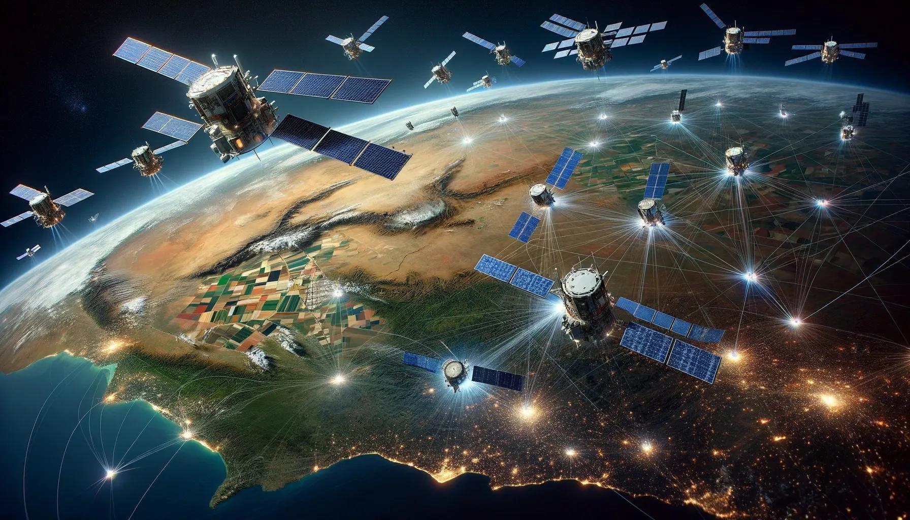
In an era where technological prowess dictates national security and development, India is making a significant advancement with the announcement of a new fleet of 50 artificial intelligence (AI)-based surveillance satellites. This initiative, as detailed by the chairman of the Indian Space Research Organization (ISRO), S. Somnath, underscores India's commitment to enhancing its geo-intelligence capabilities and border surveillance mechanisms. This article delves into the technical aspects of this ambitious project and explores its implications for industries reliant on geo-intelligence.
The Technical Edge of AI-Based Surveillance Satellites
Traditional satellite systems operate largely as data collection platforms, often requiring extensive ground-based processing to make sense of the information they gather. The integration of AI transforms these celestial observers into intelligent systems capable of performing complex analysis in orbit. The AI algorithms onboard these satellites can make decisions about which data is pertinent, requiring less bandwidth for data transmission and faster response times for decision-making processes.
AI-based satellites stand out for their ability to interact with each other, creating a dynamic and interconnected network in space. This inter-satellite communication capability ensures a seamless flow of information, allowing for real-time updates and adjustments in surveillance strategies. Such a network can provide comprehensive coverage, filling in the gaps that single satellites or uncoordinated fleets might leave.
Enhancing Geo-Intelligence and Border Surveillance
The strategic deployment of these satellites will significantly strengthen India's border surveillance. With tensions at various borders, continuous and updated intelligence is crucial. The AI-enabled fleet will provide a persistent, 24/7 eye in the sky, capable of monitoring movements, detecting infrastructural changes, and alerting ground stations to potential threats with unprecedented speed and accuracy.
Moreover, the dual deployment in both geostationary (GEO) and low-earth orbit (LEO) ensures a versatile surveillance reach. GEO satellites offer a stationary view, ideal for communication and consistent monitoring over a particular area, while LEO satellites, closer to the earth, provide higher-resolution imagery and faster data collection. This orbital diversity is strategic, enabling a multilayered surveillance approach that can adapt to various intelligence needs.
Implications for Industries Dependent on Geo-Intelligence
The ramifications of this project extend far beyond national security. Industries that depend on geo-intelligence stand to benefit substantially. Here are a few sectors that will be notably impacted:
Agriculture: Advanced monitoring of weather patterns, soil conditions, and water resources will aid in precision agriculture, allowing for more effective farming practices and better crop management.
Urban Planning: Continuous high-resolution imagery and terrain data will assist urban developers and policymakers in planning smarter cities, managing land use, and monitoring environmental compliance.
Disaster Management: Real-time surveillance and AI-driven analysis will enable quicker responses to natural disasters, providing critical data to emergency services and disaster relief agencies.
Environmental Monitoring: The fleet will enhance the monitoring of environmental changes, deforestation rates, and pollution levels, offering valuable data for conservation efforts and policy formulation.
Logistics and Transportation: Geo-intelligence can optimize routing for maritime and overland transportation, improving efficiency and reducing costs for the logistics sector.
Insurance and Risk Management: The insurance industry can use satellite data for risk assessment, claims management, and policy development, especially in areas prone to environmental hazards.
Energy Sector: Energy companies can leverage geo-intelligence for exploration activities, infrastructure monitoring, and managing renewable energy sources like wind and solar farms.
Telecommunications: The telecom industry can benefit from enhanced satellite data for planning infrastructure, improving coverage, and ensuring network resilience.
In conclusion, India's endeavor to deploy a fleet of 50 AI-based surveillance satellites within the next five years represents a transformative step in its geo-intelligence capabilities. This project is not only pivotal for national security but also a boon for various industries that rely on geospatial data. As these satellites take to the skies, they will bring with them a wealth of opportunities for innovation, safety, and development. The strategic significance of this advancement will resonate across multiple domains, reinforcing India's position as a key player in the global arena of space technology and geo-intelligence.