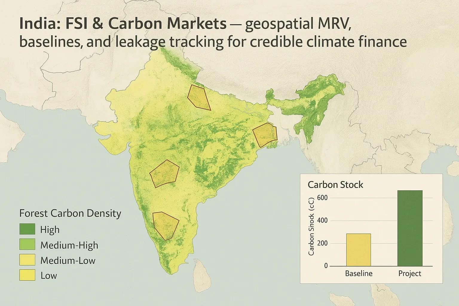
The Forest Data That Determines Climate Finance
As carbon markets gain momentum, forest data is no longer just ecological information, it’s financial infrastructure .
For India, the Forest Survey of India (FSI) sits at the center of this shift. Its biomass estimates, change maps, and carbon accounting frameworks directly influence how states, community forests, and restoration projects participate in global and domestic carbon markets.
The questions are becoming sharper:
What is the carbon baseline of a forest block?
How do we measure real gains from restoration?
How do we ensure no leakage or double counting?
Geospatial MRV (Monitoring, Reporting, Verification) is emerging as the backbone of India’s carbon integrity.
FSI: The Custodian of India’s Forest Carbon
FSI’s biennial India State of Forest Report (ISFR) combines satellite imagery, field plots, and statistical models to estimate:
Forest cover (Very Dense, Moderately Dense, Open)
Growing Stock (m³/ha)
Above-Ground Biomass (AGB)
Carbon stock across forest types
With >4,000 sample plots and standardized allometric equations, FSI provides the official carbon baselines used in:
National GHG inventories
State climate action plans
REDD+ submissions
Carbon credit methodologies
But today’s carbon markets demand higher spatial detail, faster updates, and transparent MRV pipelines , which is where geospatial technology steps in.
MRV: The Carbon Verification Backbone
Carbon markets operate on a simple logic: You can only sell carbon you can measure, and defend.
MRV ensures this by standardizing:
Monitoring , Detecting biomass changes using remote sensing.
Reporting , Documenting carbon gains with consistent methods.
Verification , Independent audit using satellite + field validation.
For forest carbon, MRV is increasingly remote-sensing-driven:
Sentinel-1 SAR for biomass structure
Sentinel-2 MSI for vegetation condition
GEDI / ICESat-2 LiDAR for canopy height
Landsat archive for historical baselines
High-resolution drones for validation
These layers enable pixel-level carbon estimation , reducing uncertainty and supporting credible carbon credit generation.
Establishing Baselines: The Most Crucial Step
A carbon project’s value depends on the baseline scenario , what would have happened without the intervention.
Baselines require:
Historical forest cover trends (10–20 years)
AGB estimates at t₀ using field plots + RS models
Drivers of deforestation (roads, settlements, fire frequency)
Forest type–specific carbon densities
India’s forest carbon densities vary widely:
Tropical Wet Evergreen: 250–350 tC/ha
Moist Deciduous: 150–230 tC/ha
Dry Deciduous: 60–120 tC/ha
Mangroves: 400–1,000 tC/ha (including soil carbon)
Accurate baselines determine additionality , the key criterion for carbon credit eligibility.
Leakage: The Invisible Loss That Kills Projects
Leakage occurs when protecting one forest simply shifts degradation to another. In India, leakage risks are highest in:
Fuelwood-dependent landscapes
Grazing corridors
Agricultural expansion fronts
Charcoal and timber extraction zones
Leakage is detected using:
Buffer-zone monitoring (2–10 km)
Time-series AGB analysis
Settlement growth detection
Nightlight and road expansion proxies
Control plots for counterfactual comparison
A credible carbon project must show that forest gain in the project zone is not offset by loss outside it.
India’s Move Toward Carbon Markets
India is building the infrastructure for both compliance and voluntary carbon markets. Key developments include:
1️⃣ National Carbon Registry (MoEFCC + BEE)
Tracks carbon credits, ownership, transfers, and cancellations.
2️⃣ Carbon Credit Trading Scheme (CCTS)
India’s emerging compliance market, integrating forestry credits over time.
3️⃣ Green Credit Programme
Payment-for-ecosystem-services approach linked to restoration outcomes.
4️⃣ State Carbon Missions (e.g., Maharashtra, Tamil Nadu, Sikkim)
Developing forest carbon projects with community co-benefits.
FSI datasets are becoming the authoritative baselines for these markets.
Case Example: REDD+ Pilot in Mizoram
A REDD+ pilot project in Mamit district, Mizoram used:
Sentinel-1 backscatter for biomass change detection.
GEDI LiDAR footprints to calibrate AGB.
Ground plots for carbon equations.
20-year Landsat analysis for deforestation drivers.
Outcomes:
Verified additionality of 11,000 tCO₂e/year .
Leakage detected and mitigated through community fuelwood plantations .
Verified MRV pipeline approved by independent auditors.
This project demonstrated that transparent geospatial MRV can unlock finance for India’s community-managed forests.
GeoAI: The Future of Carbon Accounting
AI models are automating and scaling MRV:
U-Net & CNN models: Generate biomass maps from multispectral + LiDAR stacks.
XGBoost / Random Forest: Predict AGB using dozens of spectral/structural features.
SAR–optical fusion models: Reduce uncertainty in dense forests.
Time-series ML: Quantify carbon flux using multi-year archives.
GeoAI reduces manual interpretation bias and provides consistent, repeatable, transparent carbon metrics .
Toward India’s Forest Carbon Digital Twin
A national Forest Carbon Digital Twin , integrating FSI and satellite-derived layers, could provide:
District-level carbon baselines
Near real-time forest loss detection
Carbon gain trajectories under restoration
Leakage monitoring around project boundaries
Input pipelines for crediting and verification
Such a twin would allow India to scale high-integrity carbon projects across 5,000+ forest ranges , while empowering communities to participate in climate finance.
Conclusion
Forest carbon is no longer an academic number, it’s a unit of economic value.
With FSI as the baseline authority and geospatial MRV as the verification engine, India can build a forest carbon market grounded in trust, transparency, and science.
In a climate-constrained world, credible carbon is currency, and forests are the bank.