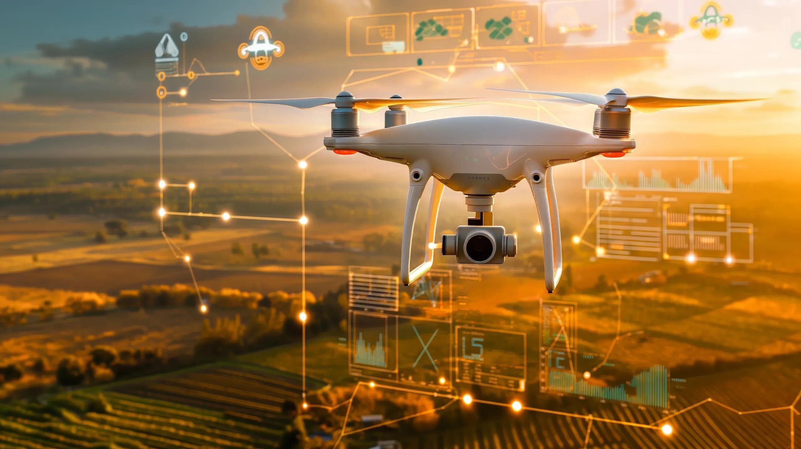
Drone technology has revolutionized industries by providing a new perspective on data collection. The ability to capture high-resolution aerial imagery, monitor large areas, and collect real-time data has opened new avenues for businesses across construction, agriculture, and logistics. However, the true potential of drone technology is realized when this data is seamlessly integrated with geospatial analytics to derive actionable insights.
In this article, we explore the process and benefits of integrating drone data with geospatial analytics, focusing on how industries can leverage these combined technologies to improve decision-making, optimize operations, and increase efficiency.
The Importance of Drone Data in Modern Industries
Drones, also known as Unmanned Aerial Vehicles (UAVs), provide high-precision data collection capabilities. They can access hard-to-reach areas, cover large expanses in a short time, and gather various types of data, including imagery, thermal readings, and LiDAR (Light Detection and Ranging) data. Drone data offers valuable insights, but without a proper framework for analyzing and interpreting this data, its true potential can remain untapped.
Geospatial analytics plays a pivotal role in converting raw drone data into actionable intelligence. Geospatial technologies analyze data by incorporating the geographic location of each data point, allowing for advanced spatial analysis, visualization, and decision-making. By integrating drone data with geospatial analytics, industries can unlock unprecedented value from aerial data.
Use Cases for Drone Data Integration with Geospatial Analytics
The integration of drone data with geospatial analytics has numerous applications across different sectors:
Construction : Drones can capture detailed images of construction sites to monitor progress, assess potential hazards, and manage resources. Geospatial analytics further enhances this by enabling 3D modeling and site analysis, improving accuracy in project planning and execution.
Agriculture : Drone-based precision agriculture involves using drones to capture multispectral images to assess crop health, soil conditions, and irrigation needs. When integrated with geospatial analytics, farmers can predict yields, monitor changes over time, and optimize field management.
Logistics : Drones are used in logistics to assess infrastructure conditions, optimize delivery routes, and even deliver packages in remote areas. Geospatial analytics processes the drone data to improve route optimization, monitor vehicle movements, and increase supply chain efficiency.
Steps for Integrating Drone Data with Geospatial Analytics
1. Data Capture and Collection
The first step in integrating drone data with geospatial analytics is capturing high-quality data. Depending on the industry and application, the types of data collected may vary:
Aerial Imagery : High-resolution photos and videos taken by drones provide detailed surface information and can be used for creating maps and models.
LiDAR Data : Drones equipped with LiDAR sensors collect detailed 3D point cloud data, ideal for terrain mapping, infrastructure inspection, and environmental monitoring.
Multispectral and Hyperspectral Imaging : Drones equipped with specialized sensors can capture data outside the visible spectrum, which is essential for applications like vegetation health monitoring, water quality assessment, and environmental impact analysis.
The key to successful data capture is ensuring that drones are equipped with the right sensors for the specific application and that flight planning is meticulously executed to cover the required area and resolution.
2. Preprocessing Drone Data
Once drone data is captured, it often needs to be preprocessed before it can be integrated with geospatial analytics tools. Common preprocessing steps include:
Georeferencing : Assigning geographic coordinates to drone images and sensor data ensures that each pixel or data point corresponds to a specific location on Earth. This is essential for integrating drone data with geospatial platforms.
Orthorectification : Correcting drone images for geometric distortions caused by the camera angle or terrain helps create accurate maps and 3D models.
Data Cleaning : Removing noise and irrelevant data from the dataset ensures the quality of the analysis.
3. Importing Data into Geospatial Analytics Platforms
After preprocessing, the drone data is ready to be integrated into a geospatial analytics platform. Depending on the software or platform, different formats and file types may be supported, such as:
GeoTIFF for imagery data
LAS/LAZ for LiDAR point cloud data
Shapefiles (SHP) for vector data such as boundaries, paths, and points
Our platform supports seamless integration of various drone data formats, allowing industries to import drone data directly into the geospatial system. This allows users to visualize data in 2D or 3D and begin the analysis process.
4. Advanced Spatial Analysis and Modeling
Once the data is in the geospatial analytics platform, advanced tools can be used to perform spatial analysis and modeling. Some of the key capabilities include:
3D Modeling : Geospatial analytics platforms can convert drone imagery and LiDAR data into 3D models of terrain, buildings, and infrastructure. These models are invaluable for site analysis, urban planning, and environmental assessment.
Change Detection : By comparing drone data collected at different times, industries can monitor changes in land use, vegetation, and infrastructure. This is particularly useful for construction progress tracking and environmental monitoring.
Vegetation Index Calculation : In agriculture, geospatial analytics can calculate indices like the Normalized Difference Vegetation Index (NDVI) from multispectral drone imagery to assess crop health and optimize resource allocation.
5. Real-time Data Processing and Visualization
One of the main advantages of integrating drone data with geospatial analytics is the ability to process and visualize data in real-time. For industries like construction and logistics, real-time insights are critical for making informed decisions on the go.
Our platform offers real-time data processing capabilities, enabling users to monitor drone flights, view real-time data feeds, and immediately analyze the data as it is collected. This accelerates decision-making, allowing businesses to respond quickly to changing conditions on the ground.
6. Machine Learning and Predictive Analytics
The integration of drone data with geospatial analytics also enables the use of machine learning and predictive analytics. By training machine learning models on historical drone data, industries can predict future outcomes, such as:
Crop yields and disease outbreaks in agriculture
Construction site safety risks
Logistics route optimization
Our platform leverages advanced machine learning algorithms to provide predictive insights, helping businesses optimize their operations and improve efficiency.
Benefits of Integrating Drone Data with Geospatial Analytics
Integrating drone data with geospatial analytics provides several key benefits:
Improved Accuracy : Geospatial analytics enhances the accuracy of drone data by incorporating precise geographic coordinates and correcting distortions in the imagery. This results in highly accurate maps, models, and analyses.
Increased Efficiency : Automated data processing and real-time analytics reduce the time required for data collection and analysis, allowing industries to make faster and more informed decisions.
Cost Savings : Drones reduce the need for expensive ground surveys and data collection methods, while geospatial analytics streamlines the analysis process, resulting in significant cost savings for businesses.
Enhanced Decision-Making : By combining drone data with geospatial analytics, industries can gain deeper insights into their operations, enabling more informed decision-making and optimized resource allocation.
In conclusion, as drone technology continues to evolve, its integration with geospatial analytics will become increasingly critical for industries looking to harness the full potential of aerial data. Whether in construction, agriculture, or logistics, the ability to seamlessly combine drone data with geospatial analytics will provide businesses with a powerful tool for improving efficiency, reducing costs, and gaining a competitive edge.
Our platform simplifies this integration, offering real-time data capture, 3D modeling, and advanced analytics that maximize the value of drone technology. By embracing this approach, industries can unlock new opportunities for growth and innovation.