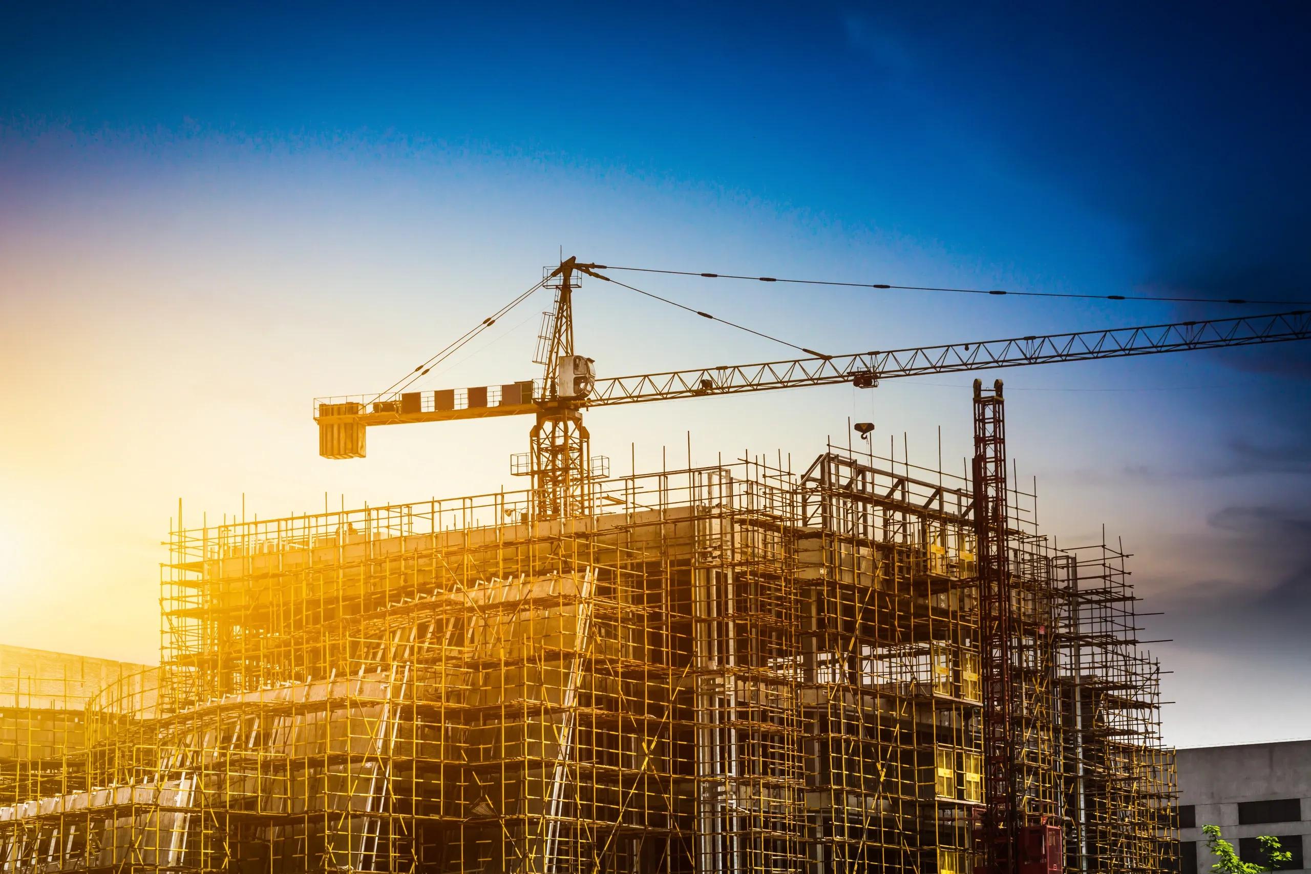
The construction industry is undergoing a digital transformation, and geospatial analytics is one of the leading innovations revolutionizing how projects are planned, monitored, and executed. Geospatial analytics integrates geographic data with powerful computing to deliver actionable insights into the physical world. By leveraging this technology, construction companies can streamline operations, reduce risks, and improve decision-making, ensuring projects are completed on time, within budget, and to high standards of quality and safety.
In this article, we explore the keyways in which geospatial analytics benefits the construction industry, focusing on its role in project planning, monitoring, and compliance.
1. Optimized Project Planning through Terrain and Site Analysis
One of the first steps in any construction project is selecting the right site and ensuring it is suitable for the planned structure. Geospatial analytics provides detailed terrain and site analysis, offering construction professionals a 3D representation of the landscape. This enables them to assess the topography, soil composition, and water drainage patterns of the site before breaking ground.
a. 3D Terrain Modeling in Construction
Geospatial analytics platforms offer 3D modeling capabilities, allowing engineers and architects to visualize the site in three dimensions. This enhances the accuracy of project designs, ensuring that the structure is optimized for the natural landscape, minimizing excavation costs, and reducing the likelihood of unforeseen site challenges during construction. For example, in regions with uneven terrain, geospatial models can help determine the best positioning for a building or infrastructure, ensuring stability and cost efficiency.
b. Site Suitability and Risk Assessment
Geospatial data layers, such as soil quality, flood risk, seismic activity, and historical land use, can be overlaid to provide a comprehensive understanding of potential hazards. With this knowledge, construction companies can identify and mitigate risks early in the project lifecycle, improving safety and sustainability. For example, projects in coastal areas can use geospatial analytics to model potential flood zones, avoiding sites at higher risk of flooding due to rising sea levels.
2. Efficient Project Monitoring and Progress Tracking
Construction projects are often dynamic, requiring continuous updates to ensure that everything stays on track. Geospatial analytics provides a robust framework for real-time project monitoring, using aerial imagery, UAVs (drones), and satellite data to keep construction managers informed about site progress.
a. Construction Project Monitoring
By utilizing high-resolution satellite imagery and drones, geospatial platforms can monitor the progress of construction in near-real time. This eliminates the need for frequent on-site inspections, reducing costs while allowing project managers to keep an eye on developments. Images are analyzed to assess the degree of completion, track materials usage, and even monitor equipment movement. For example, a large infrastructure project can be monitored remotely with drones providing daily updates on areas that have been completed versus sections that are still under construction.
b. 3D Modeling for Progress Visualization
By integrating 3D models with actual site data, project managers can visualize progress relative to the project plan. This integration helps identify potential delays or discrepancies between the design and the actual construction. Geospatial analytics platforms can detect deviations from planned work schedules and help allocate resources where needed to bring the project back on track.
c. Preventing Cost Overruns
Accurate progress tracking with geospatial data allows project managers to anticipate and prevent budget overruns. By visualizing how far along each aspect of the project is and comparing that to the budget, managers can make data-driven decisions to keep costs in line. In cases where delays are detected early, mitigation strategies—such as accelerating certain tasks or reallocating labor and machinery—can be enacted to avoid further cost escalation.
3. Enhancing Compliance and Regulatory Adherence
Construction projects must adhere to various zoning laws, environmental regulations, and safety standards. Geospatial analytics assists construction companies in maintaining compliance by providing critical data and tools that simplify the process of regulatory adherence.
a. Zoning and Permitting
Geospatial analytics helps construction companies ensure that their projects comply with local zoning laws and land-use regulations. By analyzing land parcel data, property boundaries, and zoning designations, project planners can determine if a project is allowed within a particular zone or if adjustments are needed to meet the legal requirements. This minimizes delays caused by regulatory issues and ensures that projects are built within permissible guidelines from the start.
b. Environmental Impact Assessments
Before construction can begin, many projects are required to undergo environmental impact assessments to ensure they do not harm the surrounding environment. Geospatial analytics plays a crucial role in conducting these assessments. With precise data on local ecosystems, wildlife habitats, waterways, and air quality, construction teams can design projects that minimize environmental disruption. Geospatial tools can also be used to simulate the environmental effects of construction activities, providing insights into potential issues such as deforestation, soil erosion, or pollution, allowing for proactive planning.
c. Ensuring Worker Safety
Geospatial analytics supports construction safety by identifying potentially hazardous areas within the construction site. For example, it can highlight unstable terrain, areas prone to landslides, or sections of the site that are at higher risk of flooding. By monitoring these risk zones in real time, construction companies can take necessary precautions to protect workers, such as rerouting machinery or delaying certain phases of the project until conditions improve.
4. Improved Resource Management and Allocation
Efficient use of materials, equipment, and labor is essential to construction project success. Geospatial analytics enhances resource management by offering insights into how resources are being used, helping project managers optimize allocation to avoid wastage and delays.
a. Material Tracking and Inventory
Geospatial platforms can be integrated with material management systems to track the movement and use of construction materials across the site. By knowing the precise location and quantity of materials such as concrete, steel, or timber, construction managers can ensure that there are no delays due to material shortages and that over-ordering is avoided, which can lead to wastage and increased costs.
b. Equipment Monitoring
In large construction projects, keeping track of machinery such as cranes, bulldozers, and trucks is critical for maintaining efficiency. Geospatial analytics, combined with IoT sensors, allows real-time tracking of equipment across the site, ensuring that it is deployed optimally. For example, equipment that is not being used can be relocated to other parts of the site where it is needed, preventing bottlenecks.
c. Labor Efficiency
By integrating geospatial data with workforce management tools, project managers can analyze worker productivity in relation to specific areas of the site. This allows for better decision-making on task assignments and labor shifts, ensuring that workers are positioned in areas where they are most needed to keep the project moving forward.
5. Future Trends: AI-Driven Geospatial Analytics in Construction
As the construction industry continues to evolve, the integration of artificial intelligence (AI) with geospatial analytics is poised to take construction project management to the next level. AI algorithms can process vast amounts of geospatial data faster and more accurately than ever before, enabling predictive analytics that can foresee potential problems before they arise. For instance, AI can predict weather patterns that may affect the construction timeline or forecast the wear and tear on machinery to schedule timely maintenance, reducing downtime.
In conclusion, geospatial analytics is transforming the construction industry by providing valuable insights that enhance project planning, monitoring, compliance, and resource management. From detailed terrain analysis and 3D modeling to real-time project monitoring and regulatory adherence, the benefits of geospatial analytics are undeniable. As the construction industry embraces this technology, it will continue to improve efficiency, reduce risks, and ensure that projects are delivered on time and within budget, setting a new standard for excellence in construction project management.