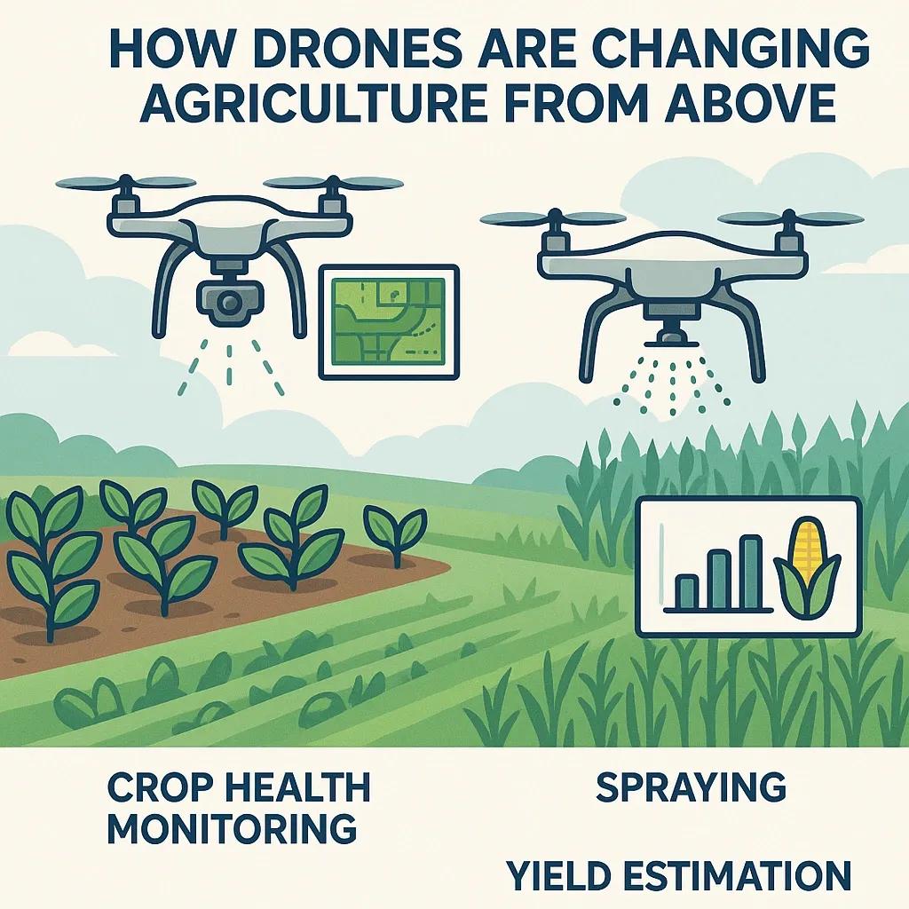
Agriculture is undergoing a significant transformation, driven by advancements in automation, data analytics, and aerial intelligence. One of the most impactful technologies leading to this change is the use of drones, Unmanned Aerial Vehicles (UAVs), which are increasingly becoming indispensable tools for modern farmers. From real-time crop health assessments to precision spraying and accurate yield predictions, drones offer a high-tech approach to managing agricultural operations more efficiently and sustainably.
This article explains how drones are reshaping agriculture from above, focusing on three major use cases: crop health monitoring, spraying, and yield estimation. Drawing from the broader themes discussed in the global tech trend analysis, we also highlight how these use cases align with the future of food security, climate-resilient farming, and data-driven agronomy.
1. Drone-Based Crop Health Monitoring
Aerial Imaging and Multispectral Analysis
Traditional field scouting is manual, time-consuming, and limited in scope. Drones equipped with multispectral or hyperspectral sensors can fly over large tracts of land and capture data that is invisible to the human eye. These sensors detect reflectance in the near-infrared and red-edge bands, which are vital for assessing plant health.
The most widely used index for this purpose is Normalized Difference Vegetation Index (NDVI). Drones can generate NDVI maps with high spatial resolution, helping farmers spot stressed areas due to pests, diseases, water stress, or nutrient deficiencies. These insights allow for targeted interventions, saving input costs and increasing efficiency.
Real-Time Monitoring and Time-Series Analysis
With periodic flights, daily, weekly, or at specific crop growth stages, farmers can generate time-series data that reveals crop development trends. This helps with early anomaly detection and trend-based decision-making. Integration with GIS platforms allows the data to be layered with soil maps, topography, and historical yield data for correlative analysis.
Example: In India, drone-based remote sensing was used in the cotton belts of Maharashtra to detect early signs of bollworm infestations. The intervention helped reduce pesticide use by over 30% and improved crop resilience.
2. Precision Spraying and Variable Rate Application (VRA)
Automated Aerial Spraying
Drones with sprayer attachments can apply pesticides, herbicides, and fertilizers with precision and minimal waste. Unlike traditional spraying using tractors or manual labor, drone spraying reduces human exposure to chemicals and avoids crop damage due to trampling.
Key benefits include:
Uniform Coverage: Drones fly at consistent altitudes and speeds, maintaining even spray density.
Reduced Drift: Low-altitude operation minimizes chemical drift due to wind.
Speed: A single drone can cover up to 6–10 hectares per hour depending on payload capacity.
Variable Rate Application (VRA)
When combined with aerial imaging data, drones can execute prescription-based spraying, applying different quantities of inputs based on localized crop needs. This VRA approach reduces over-application, lowers environmental impact, and aligns with precision agriculture best practices.
Example: In Punjab’s paddy fields, drone-based spraying reduced water usage and nitrogen input by 20–25%, while maintaining or increasing yield.
3. Yield Estimation and Forecasting
Photogrammetry and Canopy Analysis
Drone-mounted RGB and LiDAR sensors can construct 3D models of crop canopies, enabling volumetric analysis that correlates with biomass and yield. By flying drones during critical growth stages, agronomists can estimate plant height, density, and flowering stage, all of which are indicators of yield potential.
AI and Predictive Modeling
When combined with machine learning algorithms, drone-captured data can feed yield forecasting models. These models analyze multiple variables, weather, vegetation indices, growth rate, and predict harvest volumes with increasing accuracy. This is valuable not only for farmers but also for commodity traders, insurers, and policymakers.
Example: In Latin America, drone-based yield prediction for sugarcane fields helped a biofuel company improve supply chain planning by over 15%, reducing storage losses and processing delays.
Aligning with Broader Trends in Agri-Tech
Integration with IoT and GIS
Drone data is increasingly being integrated with on-ground IoT sensors such as soil moisture probes, weather stations, and irrigation controllers. This multi-source data fusion supports a holistic farm management system, improving decision accuracy and resource optimization.
Climate-Smart Agriculture
With changing climate patterns, farmers must adapt to unpredictable weather, pest outbreaks, and water scarcity. Drones support resilient agriculture by enabling early warning systems, adaptive management, and sustainable input usage. This aligns with global goals like the UN SDG 2 (Zero Hunger) and climate adaptation frameworks outlined in COP29 discussions.
Challenges and Considerations
Despite the benefits, drone adoption in agriculture faces some constraints:
Regulatory Hurdles: Many countries require special permissions for drone operations, limiting scalability.
Cost and Skill Gaps: High-quality drones and sensors are expensive and require skilled operators.
Data Overload: Farmers need support in interpreting drone data to make actionable decisions.
However, the emergence of drone-as-a-service (DaaS) models and agri-tech startups offering bundled analytics solutions is bridging these gaps.
Future Outlook
Drones are expected to play a central role in Digital Twin Farming, virtual replicas of farms that can be simulated and optimized. Combined with AI-driven agronomic models, drones will enable predictive and prescriptive farming at scale. Emerging technologies like swarm drones, automated recharging stations, and 5G-based remote operations will further expand drone use in agriculture.
Conclusion
Drones are fundamentally changing how agriculture is managed, offering farmers a bird’s eye view of their fields with unmatched accuracy, speed, and insight. From early-stage crop monitoring to smart spraying and precise yield forecasting, UAVs empower data-driven decisions that improve productivity, sustainability, and profitability. As drone technology becomes more affordable and accessible, its role in building the future of agriculture, especially in regions like India, Africa, and Latin America, will only grow stronger.