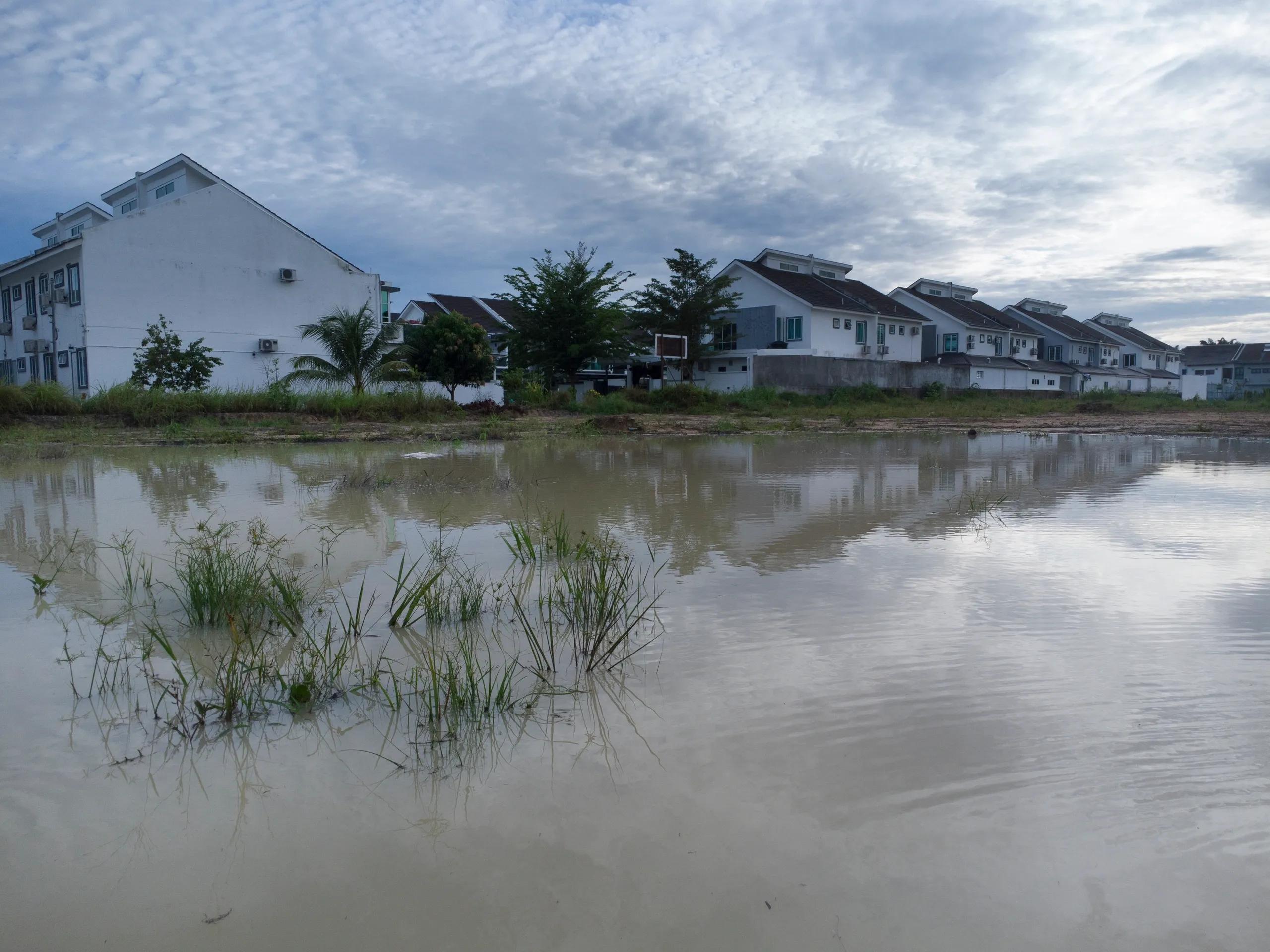
The world has witnessed a surge in natural and human-induced disasters over the past few decades, from earthquakes and hurricanes to forest fires and urban floods. As these events become more frequent and intense, the need for a timely, accurate, and comprehensive disaster response has grown crucial. Leveraging Artificial Intelligence (AI) and geospatial data can bridge gaps in disaster response, helping to manage resources, predict potential hazards, and streamline crisis mapping. This article explores how AI-driven solutions integrate with geospatial data to reshape disaster response and recovery operations.
The Role of AI in Disaster Response
Artificial Intelligence (AI) has shown transformative potential across various industries, and disaster management is no exception. In disaster response, AI facilitates automation, speeds up data processing, and enables predictive modeling, all of which are pivotal for timely and efficient emergency management. Paired with geospatial data, which provides geographic information through tools like Geographic Information Systems (GIS) and satellite imagery, AI-driven models have the capability to predict, map, and monitor disasters in ways previously unimaginable.
1. AI-Driven Crisis Mapping
In the initial stages of a disaster, crisis mapping serves as the foundational step for emergency response teams. Rapid and accurate crisis mapping helps responders assess the disaster’s scale and identify the affected areas and the resources needed. Traditional crisis mapping methods, however, are labor-intensive and prone to delays due to their reliance on manual data collection.
AI-powered tools are now automating this process by analyzing vast amounts of satellite, drone, and mobile data to create real-time crisis maps. For instance, computer vision algorithms can scan satellite images to detect anomalies, such as structural damages or flooding extents. Machine learning (ML) models trained on historical data can classify the severity and type of damage, allowing responders to quickly assess the most critical areas.
A recent application of AI-driven crisis mapping can be seen in wildfire management. AI algorithms can analyze satellite imagery to detect changes in vegetation cover, soil moisture levels, and even temperature variations to predict wildfire risks. Once a fire breaks out, the AI models monitor the fire’s spread by assessing wind speeds, temperature, and other environmental factors, offering insights into high-risk zones. This information, coupled with geospatial data, helps authorities allocate resources to vulnerable areas, improving the chances of containment and reducing damage.
2. Predictive Modeling for Disaster Preparedness
AI and geospatial data also play a significant role in predictive modeling, enabling disaster preparedness. Predictive models built using historical data can help anticipate the occurrence of various types of natural disasters, such as floods, earthquakes, and landslides. These models identify patterns in environmental data and provide actionable insights on risk-prone areas.
For instance, in flood-prone regions, machine learning algorithms analyze historical rainfall data, river levels, soil conditions, and topographic details to identify areas likely to flood under specific conditions. These predictions, visualized on geospatial platforms, help local governments develop early warning systems and evacuation plans, enabling timely alerts to be sent to at-risk communities.
Similarly, AI-powered models in earthquake-prone areas use geospatial data, such as fault line locations and seismic activity patterns, to predict potential impacts and prepare response teams. By enhancing the precision of risk assessment, predictive modeling allows governments and disaster agencies to better allocate resources and improve community resilience.
3. Real-Time Data Processing and Analysis
One of the main challenges in disaster response is handling the vast influx of data during emergencies. In the aftermath of a disaster, responders are bombarded with data from various sources, including social media posts, satellite images, news reports, and IoT-enabled sensors on the ground. Analyzing this data in real-time to extract actionable insights can be overwhelming.
AI techniques, particularly Natural Language Processing (NLP), help filter and prioritize information in real-time. NLP algorithms can analyze social media posts for keywords related to the disaster, providing real-time information about affected regions and resource needs. Social media data is often geotagged, which allows AI to incorporate it into crisis maps, pinpointing areas where rescue operations might be required.
Another essential tool is AI-enhanced image recognition. Using machine learning, computers can rapidly process and analyze satellite and aerial images, identifying specific disaster impacts like collapsed buildings or flooded streets. This real-time data analysis allows emergency responders to direct resources to the most affected areas faster, potentially saving lives and reducing the severity of the crisis.
4. Disaster Recovery and Infrastructure Assessment
Once the immediate response phase of a disaster concludes, the focus shifts to recovery, where AI and geospatial data play critical roles in assessing infrastructure damage and planning rebuilding efforts. UAVs (Unmanned Aerial Vehicles) and satellites capture high-resolution images of the affected area, which are then processed using AI algorithms to assess the extent of damage to buildings, roads, and other infrastructure.
Deep learning models can differentiate between minor and major damage levels, helping prioritize rebuilding efforts. AI can also identify unsafe structures and generate safety assessments that aid in decision-making, ensuring resources are directed to the areas with the most critical needs. Furthermore, geospatial data provides a precise view of the geographical distribution of damages, allowing a more systematic approach to recovery efforts. For example, urban planners can overlay infrastructure data with geospatial disaster data to develop resilient rebuilding plans that mitigate future risks.
5. Enhancing Emergency Response with Autonomous Systems
AI and geospatial data combined with autonomous systems, like drones and ground robots, are now being used to aid emergency response in hazardous conditions. Drones equipped with AI-powered cameras can access areas inaccessible to humans, such as buildings at risk of collapse or flood zones. These drones use AI to navigate autonomously and capture geospatial data, which is then relayed to emergency teams for situational assessment.
In search-and-rescue missions, drones can scan vast areas more quickly than ground teams, identifying potential survivors through heat signatures or movement. This AI-driven approach, coupled with geospatial data, is faster and more effective, particularly in large-scale disasters where time is critical.
6. Improving Resource Allocation through Geospatial Insights
Efficient resource allocation is crucial in disaster response, as delays or misallocation can exacerbate damage and endanger lives. By combining geospatial data with AI models, emergency teams can make data-driven decisions on resource distribution. For instance, AI algorithms can predict the number of displaced individuals in various locations, enabling responders to distribute food, water, medical supplies, and shelter more efficiently.
Geospatial AI tools also support post-disaster logistics, such as routing for relief convoys. They analyze real-time data on road conditions and infrastructure damage to suggest alternative routes and optimize supply chains. Additionally, these AI models help responders adapt to rapidly changing conditions, ensuring that resources reach areas where they are most needed.
Future of AI and Geospatial Data in Disaster Response
As AI technology advances, its integration with geospatial data in disaster response will only deepen. Emerging technologies like edge computing, IoT-enabled devices, and 5G connectivity are expected to further enhance AI’s capabilities in crisis management. These developments will allow for faster data processing, more accurate predictions, and enhanced coordination among responders.
Moreover, the development of collaborative platforms that unify AI and geospatial data for multi-agency use will facilitate better communication and coordination in emergency management. This will enable governments, NGOs, and private organizations to work together effectively, providing a more comprehensive and rapid disaster response.
In conclusion, the integration of AI with geospatial data has introduced unprecedented capabilities to disaster response and management. From predictive modeling for disaster preparedness to real-time data processing, autonomous systems, and efficient resource allocation, AI-driven solutions are reshaping how we respond to crises. As these technologies continue to evolve, their impact on disaster response and recovery operations is expected to grow, making our world more resilient to both natural and man-made disasters. Embracing these innovations will empower communities, save lives, and pave the way for more robust disaster preparedness and recovery strategies.