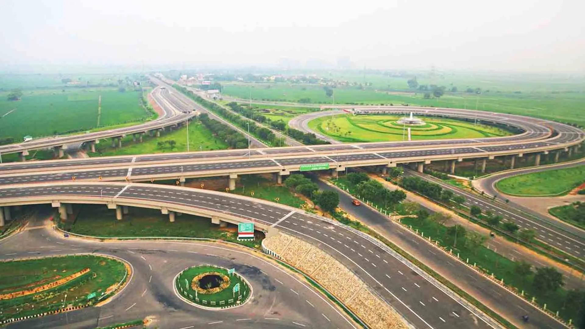
In the vast and diverse landscape of India, the National Highway Authority of India (NHAI) has embarked on a commendable journey. With the establishment of their new Design Division, they aim to revolutionize the way we perceive, construct, and maintain our national highways, bridges, and tunnels. But as we delve deeper into the intricacies of this endeavor, one can't help but wonder: Can geospatial technology be the linchpin that holds this grand vision together?
The Geospatial Revolution in Infrastructure Planning
Imagine a world where the very roads we travel on are designed with a precision that accounts for every hill, every river, and every settlement. This is not a distant dream but a tangible reality made possible by geospatial technology. Geographic Information Systems (GIS) have the potential to transform infrastructure planning by offering a bird's eye view of the terrain, land use, and environmental factors. By leveraging this technology, the NHAI can ensure that the routes chosen for new highways are not only the most efficient but also the most sustainable.
An Asset's Tale: From Birth to Retirement
Every bridge, every tunnel, and every stretch of road has a story. Geospatial technology allows us to chronicle these tales in meticulous detail. By creating a comprehensive GIS-based inventory, the NHAI can document everything from a structure's age and condition to the materials used in its construction. This digital ledger can serve as a proactive maintenance guide, ensuring that our infrastructure remains robust and resilient for generations to come.
The Watchful Eye: Monitoring from the Skies
The vast expanse of India's highways can be challenging to monitor. However, with the advent of remote sensing and satellite imagery, the NHAI's Design Division can keep a vigilant eye on every nook and cranny. Whether it's tracking construction progress or detecting subtle changes in the landscape that might hint at potential issues, geospatial technology ensures that nothing escapes notice.
Treading Lightly: The Environmental Compass
In an era where sustainability is not just a buzzword but a mandate, geospatial tools offer invaluable insights. Before laying down a single brick, the NHAI can assess the environmental impact of a proposed project. By ensuring that our infrastructure endeavors tread lightly on the land, we can bequeath a greener legacy to future generations.
Navigating the Future: Predictive Traffic Analysis
As urban centers burgeon and the demand for seamless connectivity rises, understanding and predicting traffic patterns becomes paramount. Geospatial technology, with its data-driven insights, can help the NHAI anticipate future traffic flows, ensuring our roads are always one step ahead of demand.
When Disaster Strikes: The Geospatial Shield
Nature's fury can be unpredictable. But with geospatial tools at our disposal, we can be better prepared. Whether it's assessing the damage post a calamity or planning swift rescue operations, geospatial data ensures that the NHAI is always ready to respond.
A Symphony of Integration
The Design Division's vision of an IT-based monitoring system can be greatly enhanced with a touch of geospatial magic. By integrating spatial insights and visualizations, decision-making can be both informed and intuitive.
Engaging the Citizenry: Maps that Speak
In a democratic nation, public engagement is the cornerstone of any major initiative. Geospatial tools can help the NHAI create interactive maps and applications, allowing the citizenry to provide feedback, stay informed, and be a part of the nation-building process.
In conclusion, as the NHAI's Design Division forges ahead with its ambitious plans, geospatial technology stands poised to be its most trusted ally. By harnessing the power of this technology, we can ensure that India's infrastructure development is not just world-class but also future-ready. The road ahead is long, but with geospatial technology lighting the way, it promises to be a journey of innovation, sustainability, and excellence.
Reference:
https://www.geospatialworld.net/news/nhai-sets-up-design-division/