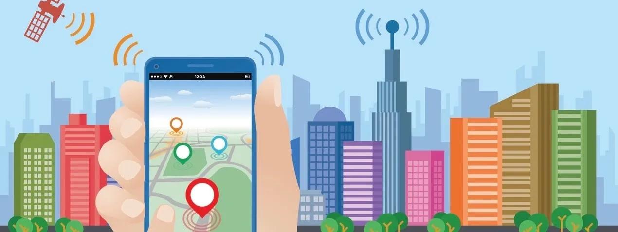
The rise of the digital era has brought a seismic shift in the way we perceive and interact with our world. Today, Geographic Information Systems (GIS) have expanded beyond the traditional confines of cartography, morphing into a powerful tool that imparts location intelligence to organizations spanning all sectors and markets. This has been catalyzed by the coupling of GIS capabilities with location data and analytics. The convergence of these technologies has unfolded a vista of endless opportunities, opening doors to data-driven decision-making.
GIS has evolved to be more than just a platform for mapping and understanding spatial relationships. It is now an integrated system that combines layers of information about a location to provide a better understanding of that location. When you pair this system with location data and analytics, the result is a robust mechanism that can guide businesses, public services, and even individuals in making informed decisions.
At its core, GIS essentially captures, stores, manipulates, analyzes, manages, and presents geographical data. It has been proven to be instrumental in solving complex problems by aiding in the visualization of data in ways that are understood and beneficial. Furthermore, the integration of location data and analytics amplifies their potency by injecting real-time, actionable insights into the system. It is akin to adding a third dimension to a two-dimensional plane.
Across industries, the application of GIS and location data is extensive. Public services are a prime example. For instance, urban planners and local government bodies can use GIS technology to better allocate resources, manage land use, plan urban growth, and determine the potential impact of natural disasters. By layering various sets of data—population density, land topography, infrastructure, and environmental data—officials can make more informed decisions.
For law enforcement agencies, GIS can help determine crime hotspots, manage patrolling routes, and enable faster response times. In healthcare, GIS can assist in mapping disease outbreaks, managing healthcare facilities, and distributing health resources efficiently.
GIS is also aiding businesses in finding new customers, determining optimal sites for stores or service centers, analyzing market trends, and creating targeted marketing campaigns. For instance, businesses can harness the power of location data to analyze consumer behavior, identify areas with high potential demand, and tailor services or products to meet those needs.
E-commerce and retail companies can leverage GIS to optimize their logistics, route planning, and delivery schedules. This ensures faster service, reduced costs, and an improved customer experience. Real estate companies can use GIS to analyze property values, infrastructure, zoning, and demographic data to make more informed investment decisions. Furthermore, the integration of GIS and Building Information Modeling (BIM) technologies has the potential to enhance building and infrastructure management.
In the context of environmental sustainability, GIS can help track deforestation, monitor wildlife habitats, assess the impact of climate change, and plan renewable energy sites. These efforts highlight how GIS can be used not just for profit-oriented goals but also for sustainable development and conservation efforts.
The advent of advanced location analytics has truly revolutionized the way we interpret location data. This has given birth to location intelligence, which is the ability to derive meaningful insight from geospatial data relationships to solve a particular problem. It has provided organizations with the tools they need to transform raw data into actionable business strategies.
As we delve further into the era of digital transformation, the combination of GIS, location data, and analytics will continue to shape our understanding of the world around us. It's not merely about mapping the physical world anymore; it's about comprehending the complexities of our surroundings and making intelligent decisions based on that understanding.
In conclusion, the fusion of GIS with location data and analytics has transformed the way organizations operate and make decisions. It has bestowed on them the power to unlock the true potential of location intelligence. In this data-driven era, this power is invaluable. As we move forward, the integration and application of these technologies will only deepen, diversifying their uses and making our world more connected and intelligent than ever before.
This technological symphony exemplifies the ethos of the modern era: convergence, intelligence, and infinite potential. As organizations continue to leverage GIS, they will not only be able to navigate the contours of their industries more effectively but also help shape a smarter, more efficient, and more sustainable world.