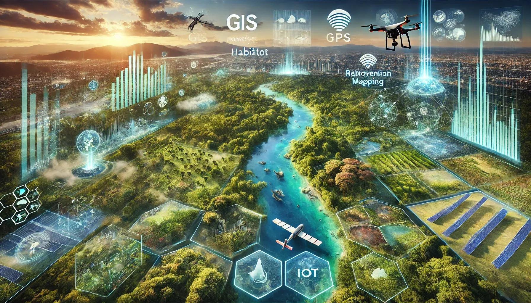
Geospatial technology has emerged as a pivotal tool in environmental conservation, enabling precise mapping, monitoring, and management of natural resources. This technology encompasses Geographic Information Systems (GIS), Remote Sensing (RS), Global Positioning Systems (GPS), and Unmanned Aerial Vehicles (UAVs), collectively revolutionizing the way environmental data is collected, analyzed, and utilized. This article delves into the role of geospatial technology in environmental conservation, exploring its applications, benefits, and the future prospects for sustainable environmental management.
Geographic Information Systems (GIS)
Geographic Information Systems (GIS) are integral to environmental conservation, providing a framework for gathering, managing, and analyzing spatial and geographic data. GIS allows for the visualization of complex datasets in the form of maps, making it easier to identify patterns and relationships that are crucial for environmental management.
Habitat Mapping and Monitoring : GIS is extensively used for mapping and monitoring wildlife habitats. By analyzing spatial data, conservationists can identify critical habitats, monitor changes over time, and develop strategies to protect endangered species. For instance, GIS has been instrumental in tracking the movements of migratory birds and mapping the habitats of endangered species like tigers and elephants.
Environmental Impact Assessment (EIA) : GIS is a powerful tool for conducting Environmental Impact Assessments. By overlaying spatial data on land use, vegetation, water bodies, and human activities, GIS helps in evaluating the potential impacts of development projects on the environment. This facilitates informed decision-making and the implementation of mitigation measures to minimize adverse effects.
Natural Resource Management : GIS aids in the sustainable management of natural resources such as forests, water, and minerals. By integrating data on resource distribution, usage patterns, and environmental factors, GIS enables resource managers to develop conservation plans, monitor resource depletion, and promote sustainable use.
Remote Sensing (RS)
Remote Sensing (RS) involves the acquisition of information about the Earth's surface using satellite or aerial sensors. This technology provides valuable data for environmental monitoring and assessment.
Land Cover and Land Use Change Detection : Remote sensing is crucial for detecting changes in land cover and land use. By analyzing satellite images over time, conservationists can monitor deforestation, urbanization, and agricultural expansion. This information is vital for developing strategies to combat habitat loss and land degradation.
Climate Change Monitoring : Remote sensing plays a significant role in monitoring climate change. Satellite data on temperature, precipitation, and atmospheric composition help scientists understand the impacts of climate change on ecosystems. For example, remote sensing has been used to track the melting of polar ice caps and the bleaching of coral reefs, providing critical insights into the effects of global warming.
Disaster Management : Remote sensing is invaluable in disaster management, providing real-time data on natural disasters such as floods, wildfires, and hurricanes. This information helps in assessing the extent of damage, coordinating relief efforts, and planning for future disaster mitigation.
Global Positioning Systems (GPS)
Global Positioning Systems (GPS) provide accurate location data, which is essential for various environmental conservation activities.
Wildlife Tracking : GPS technology is widely used for tracking wildlife movements. By attaching GPS collars to animals, researchers can monitor their movements, study their behavior, and identify critical habitats. This information is crucial for developing conservation strategies and mitigating human-wildlife conflicts.
Field Data Collection : GPS facilitates precise field data collection for environmental studies. Researchers can record the exact locations of plant and animal species, water sources, and other environmental features. This spatial data is integrated into GIS for further analysis and visualization.
Protected Area Management : GPS is used in managing protected areas such as national parks and wildlife reserves. By mapping boundaries and monitoring activities within these areas, authorities can enforce regulations, prevent illegal activities like poaching and logging, and ensure the conservation of biodiversity.
Unmanned Aerial Vehicles (UAVs)
Unmanned Aerial Vehicles (UAVs), or drones, have revolutionized environmental monitoring and conservation efforts. Equipped with high-resolution cameras and sensors, UAVs provide detailed aerial imagery and data.
Habitat Mapping and Restoration : UAVs are used for mapping habitats and monitoring restoration projects. High-resolution images from drones enable detailed mapping of vegetation, water bodies, and terrain features. This information is used to assess the success of restoration efforts and plan future activities.
Wildlife Monitoring : Drones are employed for monitoring wildlife populations, especially in inaccessible or dangerous areas. UAVs can capture images and videos of animals without disturbing them, providing valuable data on population sizes, behavior, and health.
Environmental Compliance and Enforcement : UAVs are used for monitoring compliance with environmental regulations. They can detect illegal activities such as deforestation, mining, and pollution, providing evidence for enforcement actions. Drones also enable rapid assessment of environmental damage caused by industrial activities, helping authorities take timely corrective measures.
Benefits of Geospatial Technology in Environmental Conservation
The integration of geospatial technology in environmental conservation offers numerous benefits:
Accuracy and Precision : Geospatial technology provides accurate and precise data, enabling better decision-making and effective conservation strategies.
Cost-Effectiveness : By automating data collection and analysis, geospatial technology reduces the time and cost involved in environmental monitoring and assessment.
Real-Time Monitoring : Technologies like remote sensing and UAVs provide real-time data, allowing for timely interventions in response to environmental threats.
Enhanced Visualization : GIS and remote sensing enable the visualization of complex environmental data in the form of maps and images, making it easier to communicate findings and engage stakeholders.
Data Integration and Analysis : Geospatial technology facilitates the integration of various datasets, enabling comprehensive analysis of environmental issues and the development of holistic conservation plans.
Future Prospects
The future of geospatial technology in environmental conservation looks promising, with advancements in technology and data analytics driving innovation. Emerging trends include:
Artificial Intelligence (AI) and Machine Learning (ML) : AI and ML are being integrated with geospatial technology to automate data analysis, predict environmental changes, and optimize conservation efforts.
Internet of Things (IoT) : IoT devices, combined with geospatial technology, provide real-time environmental data from sensors deployed in the field. This enhances monitoring capabilities and enables proactive conservation measures.
Citizen Science : The proliferation of mobile devices and geospatial apps is empowering citizens to contribute to environmental monitoring. Citizen science initiatives leverage crowdsourced data for conservation projects, increasing public engagement and awareness.
3D Mapping and Virtual Reality (VR) : Advances in 3D mapping and VR are providing immersive experiences for environmental education and planning. These technologies enable detailed visualization of ecosystems and simulation of conservation scenarios.
In conclusion, geospatial technology has become an indispensable tool for environmental conservation, offering powerful capabilities for mapping, monitoring, and managing natural resources. By providing accurate data, enhancing visualization, and enabling real-time monitoring, geospatial technology is driving informed decision-making and effective conservation strategies. As technology continues to evolve, its integration with AI, IoT, and citizen science holds great promise for sustainable environmental management, ensuring the preservation of our planet's biodiversity for future generations.