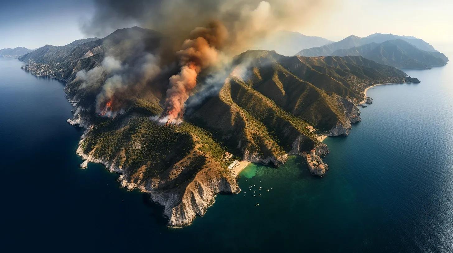
The gentle lapping of the Mediterranean Sea against its shores has long been a symbol of serenity and beauty. But in recent times, another, more sinister sound has been echoing across Southern Europe: the crackling of wildfires. As vast swathes of land are consumed by flames, we're compelled to reflect on the deeper implications of these fires, the questions they raise, and the role of geospatial technology in understanding and combating them.
1. Climate Change's Role: A Catalyst for Wildfires
The Mediterranean, with its picturesque landscapes and rich history, is now at the forefront of a global crisis. The prolonged and severe heatwaves, a direct consequence of climate change, have transformed lush forests into tinderboxes. But how did we get here? The answer lies in the gradual rise in global temperatures, leading to drier conditions and making vegetation more susceptible to fires.
Enter geospatial technology. Through satellite imagery and remote sensing, we can now track changes in vegetation, moisture levels, and potential fire hotspots. These tools provide invaluable data, helping authorities predict and prepare for potential outbreaks. The fires are a stark reminder that climate change isn't a distant threat but a present danger, and geospatial technology is our eyes in the sky, guiding our response.
2. Greece's Vulnerability: A Nation Under Siege
Greece finds itself grappling with wildfires of an unprecedented scale. Geographically, its numerous islands and vast stretches of forested areas provide ample fuel for fires. But with the aid of geospatial technology, there's hope. GIS (Geographic Information Systems) can help in mapping vulnerable areas, understanding the topography, and planning evacuation routes. In real-time, drones equipped with thermal cameras can pinpoint fire locations, aiding firefighters in their efforts.
Reflecting on the devastation, it's essential to recognize the resilience of the Greek people and the potential of technology to aid in prevention and response. As we harness the power of geospatial tools, we can better equip Greece and other nations to face such challenges head-on.
3. Comparative Analysis: France's Smaller Fires, Yet Significant Impact
While Greece's plight has been severe, France's wildfires, though smaller in scale, have had a profound impact. Here too, geospatial technology plays a pivotal role. Through detailed satellite imagery, authorities can assess the damage, understand the spread, and strategize their response. Moreover, post-fire, these tools can aid in rehabilitation efforts, understanding soil erosion patterns, and planning reforestation.
The fires in France underscore the need for a holistic understanding of wildfires, where both scale and impact are considered. They also highlight the importance of regional collaboration, where geospatial data can be shared and analyzed collectively, leading to more effective strategies.
In conclusion, as the smoke from the wildfires begins to clear, we're left with more than just charred remains. We're left with questions, reflections, and a renewed sense of urgency. The fires of Southern Europe are not just a regional concern but a global one. They remind us of the interconnectedness of our world, the collective responsibility we bear, and the immense potential of geospatial technology in shaping our response.
In the face of such adversity, reflection is the first step towards action. With the aid of geospatial tools, let's hope that the lessons learned from these wildfires ignite a global movement towards a more sustainable and collaborative future.
Reference:
Chart: Wildfires Ravage Southern Europe | Statista