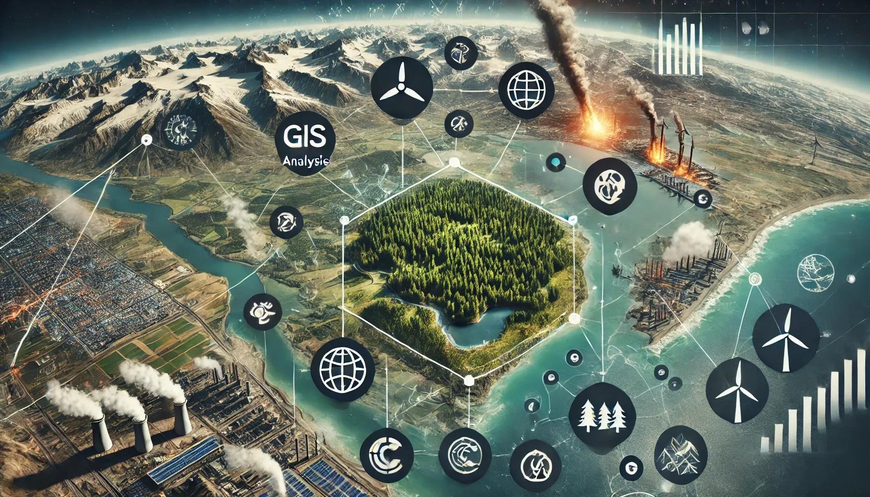
Climate change represents one of the most pressing challenges of our time, necessitating immediate and coordinated efforts for mitigation. Geospatial technology has emerged as a pivotal tool in addressing this global issue, offering innovative solutions to monitor, analyze, and combat climate change. This article explores the multifaceted role of geospatial technology in climate change mitigation, emphasizing its applications, benefits, and potential to drive sustainable environmental practices.
Understanding Geospatial Technology
Geospatial technology encompasses a range of tools and techniques used to collect, store, analyze, and visualize geographic data. Key components include Geographic Information Systems (GIS), Remote Sensing (RS), Global Positioning Systems (GPS), and Unmanned Aerial Vehicles (UAVs). These technologies enable the detailed mapping and analysis of Earth's surface, providing critical insights into environmental changes and human activities.
Monitoring Climate Change
One of the primary applications of geospatial technology in climate change mitigation is the monitoring of environmental changes. Remote sensing satellites, equipped with various sensors, continuously capture data on land use, vegetation cover, water bodies, and atmospheric conditions. This data is essential for tracking changes in climate variables such as temperature, precipitation, and sea level rise.
For instance, satellite imagery can detect deforestation and land degradation, which are significant contributors to greenhouse gas emissions. By identifying areas of deforestation, policymakers can implement conservation strategies and reforestation projects. Similarly, monitoring glacial retreat and polar ice melt provides valuable information on the impacts of global warming and helps predict future sea level rise.
Assessing Vulnerability and Risk
Geospatial technology is instrumental in assessing the vulnerability of different regions to climate change impacts. GIS allows for the integration of various datasets, including socio-economic, environmental, and climatic data, to create comprehensive vulnerability maps. These maps highlight areas at risk of flooding, drought, heatwaves, and other climate-related hazards.
For example, coastal areas are particularly vulnerable to sea level rise and storm surges. Using GIS, researchers can model the potential impacts of these events, helping communities to develop adaptation strategies such as building sea walls or relocating infrastructure. Additionally, vulnerability assessments can inform disaster preparedness plans, ensuring that resources are allocated efficiently to protect vulnerable populations.
Facilitating Carbon Management
Effective carbon management is crucial for mitigating climate change, and geospatial technology plays a significant role in this regard. Forests act as carbon sinks, absorbing carbon dioxide from the atmosphere. By monitoring forest health and extent, geospatial tools help in estimating carbon sequestration rates and tracking changes in forest cover.
Furthermore, GIS can be used to identify optimal locations for afforestation and reforestation projects. By analyzing factors such as soil type, climate conditions, and land availability, GIS ensures that tree planting efforts are both effective and sustainable. Additionally, geospatial technology supports the management of urban green spaces, which also contributes to carbon sequestration and improved air quality.
Enhancing Renewable Energy Deployment
Transitioning to renewable energy sources is a key strategy for reducing greenhouse gas emissions. Geospatial technology aids in the planning and deployment of renewable energy infrastructure, such as solar panels, wind turbines, and hydroelectric plants. By analyzing spatial data on sunlight exposure, wind patterns, and water flow, GIS helps identify the most suitable locations for renewable energy projects.
For instance, solar radiation maps generated through remote sensing can pinpoint areas with high solar energy potential. Similarly, wind speed data can be used to locate regions optimal for wind farms. This spatial analysis ensures that renewable energy resources are harnessed efficiently, maximizing their contribution to climate change mitigation.
Supporting Sustainable Land Use Planning
Land use planning is a critical aspect of climate change mitigation, as it influences patterns of development, transportation, and resource use. Geospatial technology enables the creation of detailed land use maps, which are essential for sustainable urban and regional planning. By integrating environmental considerations into planning processes, geospatial tools help minimize the ecological footprint of human activities.
For example, GIS can identify areas suitable for sustainable agriculture, reducing the pressure on natural ecosystems. It can also support the development of green infrastructure, such as parks and greenways, which enhance urban resilience to climate impacts. Furthermore, geospatial technology facilitates the assessment of ecosystem services, ensuring that land use decisions account for the benefits provided by natural systems.
Advancing Climate Research and Education
Geospatial technology is a valuable asset for climate research, providing high-resolution data and advanced analytical capabilities. Researchers use GIS and remote sensing to study climate patterns, model future scenarios, and assess the effectiveness of mitigation strategies. This research is essential for informing policy decisions and advancing our understanding of climate change dynamics.
In addition to research, geospatial technology supports climate education and awareness. Interactive maps and visualizations make complex climate data accessible to the public, fostering a better understanding of climate issues. Educational institutions and organizations use geospatial tools to engage students and communities in climate action, promoting informed decision-making and collective efforts to mitigate climate change.
In conclusion, geospatial technology is a powerful ally in the fight against climate change, offering innovative solutions for monitoring, assessment, and management. By leveraging the capabilities of GIS, remote sensing, GPS, and UAVs, we can gain a comprehensive understanding of environmental changes and develop effective strategies for mitigation. From monitoring deforestation to optimizing renewable energy deployment, geospatial technology provides the tools needed to address the multifaceted challenges of climate change.
As we move forward, the integration of geospatial technology into climate change mitigation efforts will be crucial. Continued advancements in geospatial data collection and analysis will enhance our ability to respond to climate impacts and build a sustainable future. Through collaboration and innovation, we can harness the power of geospatial technology to safeguard our planet and ensure a resilient and thriving world for generations to come.