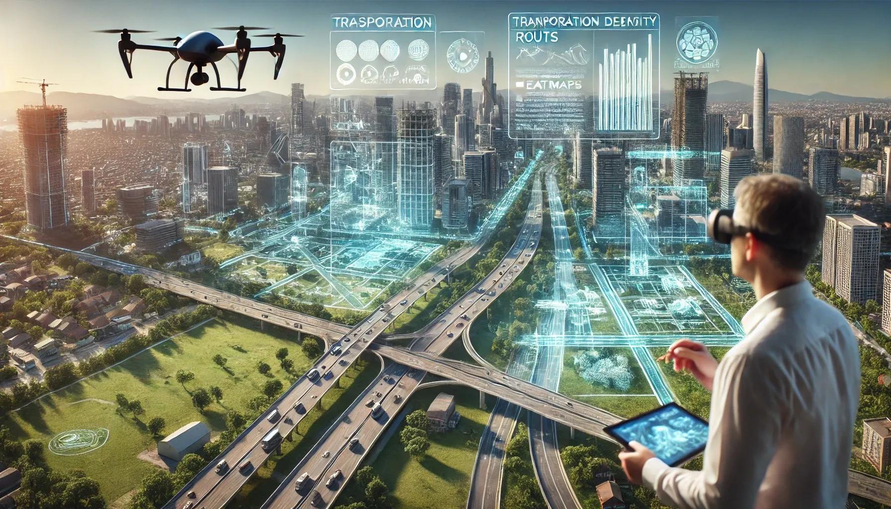
In recent years, geospatial technology has emerged as a cornerstone in the domain of urban planning and development. As cities grow larger and more complex, planners, engineers, and policymakers require sophisticated tools to analyze spatial data, predict urban growth patterns, optimize resource allocation, and make informed decisions that benefit both current residents and future generations. Geospatial technologies, encompassing Geographic Information Systems (GIS), Remote Sensing (RS), Global Positioning Systems (GPS), and advanced spatial data analytics, are revolutionizing how we conceive, design, and govern urban environments. This transformation is not only reshaping conventional planning paradigms but also unlocking unprecedented opportunities for sustainable, resilient, and inclusive cities.
1. The Foundation of Geospatial Technology in Urban Planning
At its core, geospatial technology revolves around the concept of location-based intelligence. Traditional urban planning relied heavily on static maps, demographic tables, and past experience. In contrast, modern geospatial tools integrate dynamic, real-time data drawn from multiple sources: satellite imagery, aerial surveys using Unmanned Aerial Vehicles (UAVs), IoT sensor networks, open data repositories, and even crowd-sourced location-based information. With the help of GIS software, urban planners can now layer complex datasets, such as population density, traffic flows, land-use patterns, environmental constraints, and infrastructural networks, onto a single interactive map. This integrated visualization provides a holistic snapshot of urban conditions and serves as a powerful decision-support system that planners and policymakers can utilize to craft evidence-based strategies.
2. Enhanced Spatial Analysis and Predictive Modeling
One of the most significant impacts of geospatial technology lies in its ability to facilitate advanced spatial analytics and predictive modeling. Urban planners can analyze spatial patterns and trends using robust techniques such as spatial autocorrelation, cluster analysis, and geostatistics. For instance, by integrating socio-economic data with high-resolution satellite imagery, planners can identify informal settlements, assess housing quality, or understand how green spaces influence property values. Furthermore, predictive models, often powered by machine learning and artificial intelligence, use historical geospatial data to forecast future trends. They can predict areas likely to experience gentrification, identify where housing shortages may occur, or pinpoint regions susceptible to flood hazards. This foresight enables decision-makers to intervene proactively, adjusting land-use plans or infrastructure investments before problems escalate.
3. Real-time Monitoring and Dynamic Urban Management
Geospatial technology does not merely aid in long-term planning; it also supports continuous monitoring and dynamic management of city systems. The proliferation of IoT devices, such as environmental sensors, traffic cameras, and smart energy meters, enables real-time data streams directly into GIS platforms. By mapping these live data feeds onto a city’s digital twin, urban planners and managers can quickly identify traffic bottlenecks, pollution hotspots, or energy grid imbalances. For example, consider a city’s public transportation network: GPS-enabled buses can send real-time location and occupancy data to a central GIS platform, allowing authorities to dynamically adjust bus frequencies or reroute vehicles to avoid congestion. Over time, this level of situational awareness and responsiveness leads to more efficient service delivery, reduced operational costs, and improved quality of life for residents.
4. Inclusive Urban Planning Through Participatory GIS
Geospatial technology also promotes inclusivity and civic engagement in urban planning. Participatory GIS (PGIS) and web-based mapping applications empower citizens to contribute directly to the planning process. Community members can mark unsafe intersections, highlight areas that lack essential services, or propose new amenities by interacting with user-friendly online maps. This crowdsourced geospatial data, once validated, becomes a valuable resource for planners. It ensures that urban development is not solely top-down but also informed by the lived experiences of local residents. As a result, geospatial technology fosters transparency, accountability, and trust between governments and communities, ultimately leading to more equitable urban environments.
5. Sustainable and Resilient Cities Through Geospatial Intelligence
The global push towards sustainability and climate resilience underscores the importance of incorporating geospatial intelligence into urban planning. As climate change intensifies, cities face growing threats from rising sea levels, extreme weather events, and environmental degradation. Geospatial modeling tools allow planners to simulate various climate scenarios and evaluate the vulnerability of different urban sectors, ranging from infrastructure to public health systems. By integrating topographic information with historical flood data, for example, planners can identify zones at high risk of inundation. They can then guide policy decisions, such as restricting development in flood-prone areas or enhancing drainage systems, grounded in empirical, location-based evidence.
Moreover, sustainability targets, such as those relating to reducing carbon footprints or preserving biodiversity, benefit immensely from geospatial analysis. Conservation of green infrastructure, optimization of public transportation routes, strategic placement of renewable energy facilities, and efficient waste management all rely on spatially explicit data. Through GIS-based multi-criteria decision-making methods, planners can balance competing objectives, economic growth, environmental stewardship, social equity, to achieve long-term sustainability goals.
6. Integration with Emerging Technologies: BIM, UAVs, and Digital Twins
The geospatial revolution in urban planning is magnified by integration with other cutting-edge technologies. Building Information Modeling (BIM) provides detailed, 3D digital representations of buildings and infrastructure assets. When GIS and BIM converge, urban planners gain both macro- and micro-level insights: they can visualize entire neighborhoods in 3D, drill down into individual structures, and assess how proposed developments might affect surrounding contexts. This integrated approach streamlines project management, enhances coordination among stakeholders, and reduces costly design errors.
UAV-based remote sensing complements GIS by offering high-resolution, on-demand imagery that can capture the rapid evolution of urban landscapes. UAVs can monitor construction progress, assess road conditions, and update land-cover maps with unprecedented detail and frequency. These drones can also be equipped with thermal sensors, LiDAR scanners, and multispectral cameras to gather multidimensional data about the urban environment. The resultant datasets are fed into GIS for analysis, enabling accurate, up-to-date decision-making.
Digital twins, virtual models of real-world cities, further amplify the potential of geospatial technology. A digital twin is a dynamic, living model that integrates GIS data, BIM models, IoT sensor feeds, simulation tools, and historical records. Urban planners can interact with digital twins to test scenarios, visualize the impact of new policies, and run simulations. Such a holistic modeling environment leads to improved collaboration across government agencies, private developers, and research institutes, ultimately fostering more coherent and adaptable urban solutions.
7. Streamlining Infrastructure Development and Asset Management
Infrastructure lies at the heart of urban development. Roads, bridges, pipelines, and public transportation systems form the backbone of city life. Geospatial technology facilitates efficient infrastructure planning, construction, and maintenance. Planners can use GIS to identify optimal transportation corridors that minimize environmental disruption while ensuring connectivity. During construction, project managers rely on spatial data to monitor progress, detect design conflicts, and maintain regulatory compliance. Post-construction, infrastructure asset management benefits from geospatial inventory systems that track the location, condition, and maintenance schedules of every asset in the city. Ultimately, this spatially integrated approach reduces costs, extends asset lifecycles, and enhances urban mobility.
8. Overcoming Data Challenges and Capacity Building
Despite its myriad benefits, integrating geospatial technology into urban planning is not without challenges. High-quality spatial data are essential for reliable analysis, yet acquiring and maintaining such data can be expensive, time-consuming, and subject to technical constraints. Sensor calibration, data cleaning, and spatial data interoperability are ongoing hurdles. Additionally, ensuring data privacy and cybersecurity remains a top priority as more information becomes publicly accessible.
Building local capacity is another imperative. Urban planners, GIS specialists, and decision-makers must develop expertise in spatial data analytics, modeling techniques, and data-driven decision-making. Academic institutions and professional training programs play a crucial role in equipping urban practitioners with the necessary technical skills. International collaboration, knowledge exchange platforms, and open-source GIS communities further accelerate capacity building and help democratize access to advanced geospatial tools.
9. The Road Ahead: Toward Smarter, More Equitable Cities
The future of geospatial technology in urban planning is bright. As spatial data becomes more abundant and accessible, planners will be able to create increasingly accurate digital representations of urban environments. Advanced machine learning algorithms will refine predictive models, helping planners anticipate needs and optimize resource use. Real-time data streams from IoT sensors will support adaptive urban management, ensuring that cities remain agile and responsive to emerging challenges.
In parallel, the synergy between geospatial technology and policy frameworks will strengthen. Governments, recognizing the strategic value of spatial intelligence, are already allocating resources to develop geospatial infrastructures, harmonize data standards, and promote data sharing. This institutional support can reduce fragmentation, encourage innovation, and create level playing fields for various stakeholders, non-profit organizations, community groups, private developers, to engage productively in the planning process.
Ultimately, geospatial technology is not just another planning tool; it is a transformative force reshaping the philosophy and methodology of urban planning. By harnessing geospatial data, analytics, and visualization, cities can become more sustainable, resilient, inclusive, and prosperous. The revolution is ongoing, and as technology advances, the gap between the planned and the possible will continue to narrow, ushering in a new era of intelligent urban development that better serves the needs of all citizens.