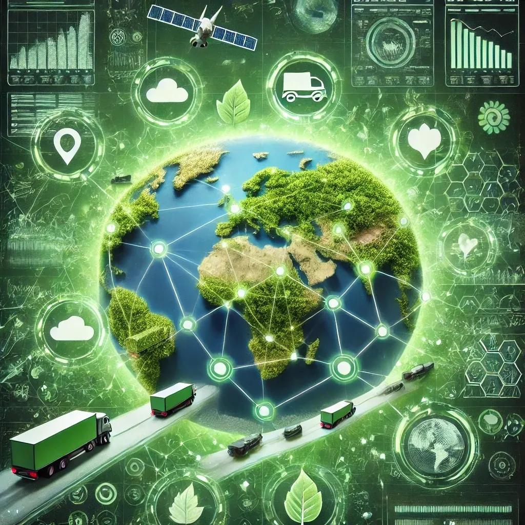
In an era where environmental sustainability has become a global priority, industries are increasingly seeking ways to reduce their ecological footprint. The logistics industry, responsible for a significant portion of global greenhouse gas emissions, is no exception. As the demand for more sustainable practices grows, geospatial technology is emerging as a powerful tool to revolutionize the way logistics companies operate, offering innovative solutions to reduce carbon footprints and enhance sustainability.
The Role of Geospatial Technology in Logistics
Geospatial technology, which includes Geographic Information Systems (GIS), satellite imagery, and spatial data analysis, has traditionally been associated with mapping and navigation. However, its application in logistics extends far beyond these basic functions. By integrating geospatial technology into supply chain management, logistics companies can optimize routes, minimize backtracking, and make real-time adjustments based on traffic and environmental conditions. These capabilities are crucial for reducing fuel consumption, lowering emissions, and achieving more sustainable operations.
Optimizing Routes for Reduced Carbon Emissions
One of the most significant contributions of geospatial technology to environmental sustainability in logistics is its ability to optimize routes. Traditional route planning often involves static maps and fixed schedules, which may not account for real-time variables such as traffic congestion, road closures, or weather conditions. As a result, vehicles may travel longer distances or face delays, leading to increased fuel consumption and higher emissions.
Geospatial technology addresses these challenges by providing dynamic, real-time data that enables logistics companies to plan the most efficient routes. We are a leader in geospatial solutions, offering GIS-based supply chain management tools that utilize satellite imagery, GPS data, and advanced algorithms to identify the shortest and most efficient routes. By analyzing factors such as traffic patterns, road conditions, and environmental impact, these tools can significantly reduce travel time and distance, leading to lower fuel consumption and reduced carbon emissions.
For instance, a logistics company using our route optimization tools can avoid congested areas, reroute deliveries around road closures, and even plan for the best times to travel based on historical traffic data. This not only improves operational efficiency but also contributes to a significant reduction in the company’s carbon footprint.
Minimizing Backtracking and Improving Delivery Efficiency
Backtracking, or the unnecessary retracing of steps during deliveries, is a common issue in logistics that contributes to inefficiency and increased emissions. Geospatial technology offers a solution by enabling precise route planning that minimizes or eliminates backtracking. With our tools road network analysis and shortest route analysis, logistics companies can ensure that each delivery follows the most direct path possible, reducing unnecessary travel.
These tools analyze spatial data to optimize the sequence of deliveries, ensuring that vehicles follow the most efficient path from one delivery point to the next. For example, by using real-time data to adjust routes on the fly, a delivery truck can avoid making detours or returning to previously visited locations. This not only saves time and fuel but also reduces wear and tear on vehicles, further contributing to environmental sustainability.
Moreover, by integrating geospatial technology with other logistics management systems, companies can achieve a higher level of precision in route planning. For instance, combining GIS data with warehouse management systems allows for better coordination between inventory levels and delivery schedules, ensuring that vehicles are always fully loaded and minimizing the number of trips required. This holistic approach to logistics management is essential for reducing the overall environmental impact of supply chain operations.
Real-Time Traffic Updates and Environmental Monitoring
One of the key advantages of geospatial technology is its ability to provide real-time updates on traffic conditions, weather, and other environmental factors that can affect logistics operations. By leveraging this data, logistics companies can make informed decisions that enhance both efficiency and sustainability.
Our integrated logistics dashboard, for example, offers real-time visibility into traffic conditions, allowing logistics managers to reroute vehicles as needed to avoid delays and reduce idling time. Idling is a significant source of unnecessary fuel consumption and emissions in logistics, and by minimizing it, companies can achieve substantial environmental benefits.
In addition to traffic updates, geospatial technology can also monitor environmental conditions such as air quality, temperature, and humidity, which are particularly important for the transportation of sensitive goods like perishable food items or pharmaceuticals. By adjusting routes and delivery schedules based on these conditions, logistics companies can ensure the safe and efficient transportation of goods while minimizing their environmental impact.
Furthermore, real-time environmental monitoring enables logistics companies to comply with increasingly stringent regulations regarding emissions and sustainability. For example, by tracking emissions in real time, companies can ensure that their operations remain within regulatory limits and avoid potential fines or penalties. This proactive approach to environmental management is crucial for maintaining a competitive edge in a market that is increasingly driven by sustainability concerns.
Enhancing Sustainability Across the Supply Chain
The benefits of geospatial technology extend beyond individual deliveries to encompass the entire supply chain. By providing a comprehensive view of logistics operations, geospatial tools enable companies to identify inefficiencies and opportunities for improvement across the supply chain. This holistic approach is essential for achieving long-term sustainability goals.
For instance, our spatial data analytics can help logistics companies identify the most sustainable locations for warehouses and distribution centers by analyzing factors such as proximity to major transportation routes, accessibility to renewable energy sources, and environmental impact. By strategically placing these facilities, companies can reduce the distance that goods need to travel, further lowering emissions and fuel consumption.
Additionally, geospatial technology can support the development of more sustainable packaging and shipping practices. By analyzing spatial data on consumer behavior, companies can optimize packaging sizes and materials to reduce waste and improve the efficiency of transportation. For example, by designing packaging that maximizes the use of available space in delivery vehicles, companies can reduce the number of trips required and minimize their environmental footprint.
In conclusion, geospatial technology is transforming the logistics industry by providing innovative solutions that enhance environmental sustainability. From optimizing routes and minimizing backtracking to providing real-time traffic updates and environmental monitoring, geospatial tools like those we offer are enabling logistics companies to reduce their carbon footprint and operate more sustainably. As the demand for greener logistics practices continues to grow, the adoption of geospatial technology will be essential for companies seeking to meet their sustainability goals and remain competitive in an increasingly eco-conscious market.