The potential of geospatial technology to influence and guide the world's transition to net-zero emissions by 2050 cannot be understated. As we step deeper into the climate battle, there is an increasing need to leverage the vast capabilities of this technology, especially in the energy sector. Yet, for all its potential, we must critically evaluate its effectiveness and any inherent gaps.
Geospatial Technology: An Overview At its core, geospatial technology involves tools and techniques for measuring and analyzing Earth's land and features. Geographic Information Systems (GIS), satellite imagery, and remote sensing form the bedrock of this technological realm. In the context of the energy sector, these tools offer valuable insights for renewable energy site selection, infrastructure monitoring, and resource management.
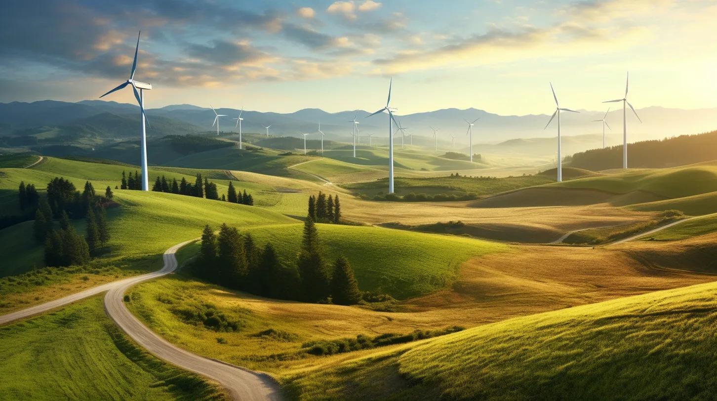
1. Site Selection and Optimization Solar and wind farms must be judiciously located to maximize energy yield. Geospatial tools aid energy providers in pinpointing sites with optimal solar radiation or wind speed. Furthermore, topographical data guides decisions on wind turbine placement within a farm, ensuring efficient airflow between them. However, an essential layer is often overlooked: the socio-economic and ecological repercussions of such placements. While data might suggest a site is prime for development, unforeseen ecological or socio-cultural ramifications could make such locations neither sustainable nor ethical.
2. Infrastructure Monitoring Satellite imagery, integrated with AI, offers a way to oversee vast infrastructures like grids or pipelines for potential damage or maintenance requirements. But are we overemphasizing satellite capabilities, especially with the rapid evolution of drone technology? Drones can deliver higher resolution data, potentially at a reduced cost, making the need for re-evaluation of monitoring techniques apparent.
3. Resource Allocation and Management GIS's prowess in managing and distributing resources efficiently is evident. The technology can determine the most effective power line routes, assess resource proximity to populations, and ensure power reaches its intended destinations. But, a notable limitation lurks beneath: the often static nature of GIS models. With energy needs being influenced by a myriad of dynamic factors, are our current GIS models adaptive enough?
4. Carbon Sequestration Projects The potential of geospatial technology shines through when identifying ideal areas for carbon sequestration or reforestation. Analyzing variables like soil type, moisture content, and land use, GIS can pinpoint regions where afforestation yields maximum carbon offset benefits. However, these capabilities should not lead to complacency. While offsetting is valuable, the primary goal should always be direct emission reduction.
5. Hydro and Geothermal Energy Mapping underground water reserves and geothermal hotspots becomes manageable with geospatial tools. Yet, we must critically weigh the energy yields against potential risks, such as disturbing underground water tables or tapping deep into geothermal reservoirs. While geospatial tools offer data, a comprehensive environmental assessment remains essential.
In Conclusion, the role of geospatial technology in aiding the fight against climate change, especially within the energy sector, is undeniable. However, a discerning approach is imperative. Recognizing its limitations and ensuring its ethical, responsible use should be at the forefront. As the push for net-zero emissions by 2050 gains momentum, the energy sector's reliance on geospatial technology will undoubtedly grow, demanding constant scrutiny, refinement, and optimization of its applications.