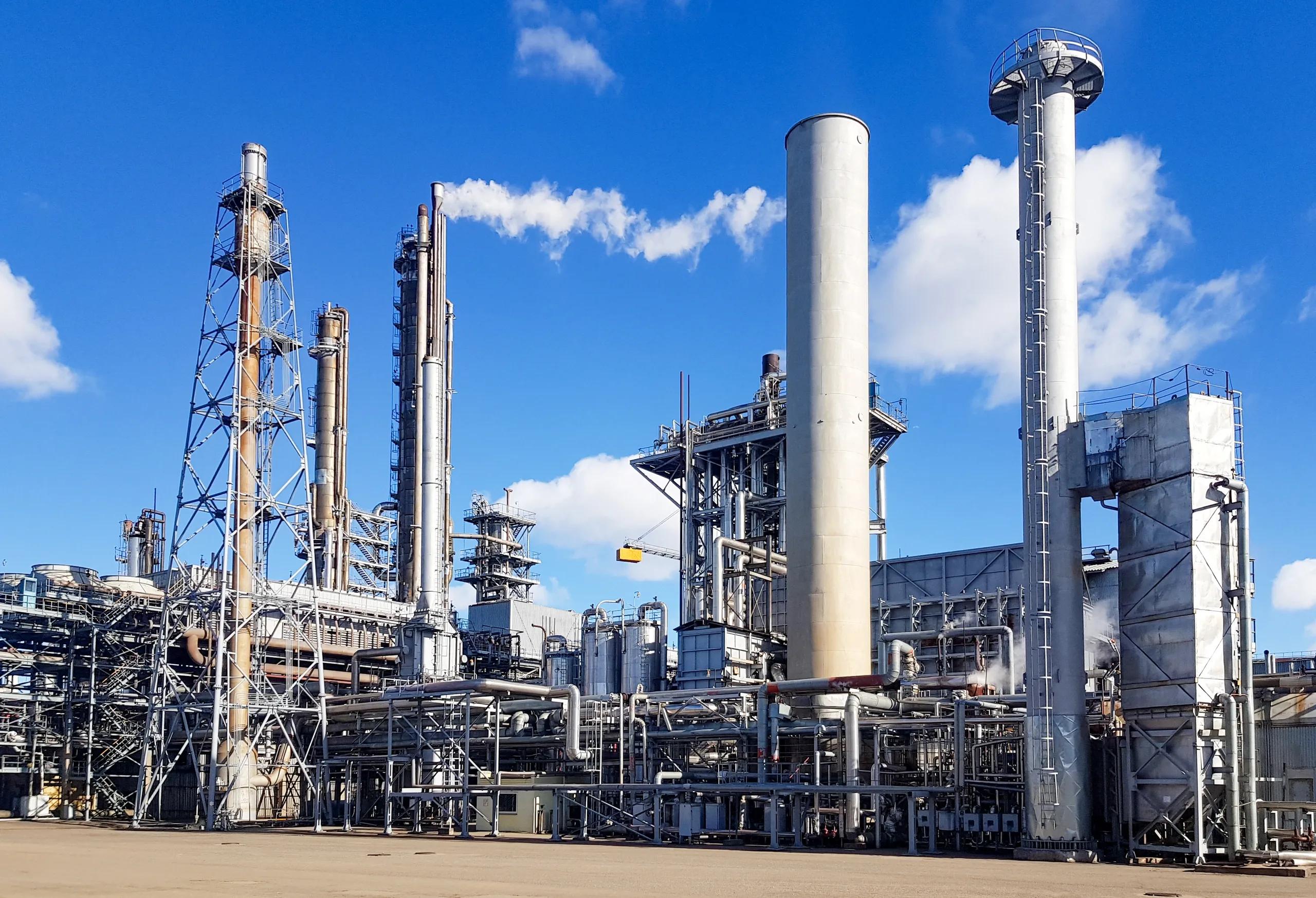
The chemical industry stands at the intersection of global manufacturing, sustainability challenges, and regulatory transformation. As this sector begins transitioning from traditional linear production models to more circular value chains, one enabling technology rises as a critical differentiator, Geospatial Intelligence. This article explores how geospatial tools and data analytics can support the circular transformation of the chemicals industry by enhancing material traceability, optimizing feedstock flows, improving infrastructure decisions, and supporting regulatory compliance.
Understanding the Circular Opportunity in Chemicals
According to the World Economic Forum ’s Circular Transformation of Industries report (2025), the chemical sector is among those actively adopting circular feedstock strategies, particularly in response to pressure from regulators and environmentally conscious customers. Circular feedstock in chemicals includes recycling materials like plastic waste, capturing carbon, or converting biomass into inputs. However, transitioning from virgin to circular inputs presents logistical, economic, and infrastructure challenges.
Geospatial Intelligence, which integrates satellite imagery, sensor networks, geographic information systems (GIS), and spatial analytics, offers powerful capabilities to address these barriers across the circular lifecycle.
Key Use Cases of Geospatial Intelligence in Circular Chemicals
1. Site Selection for Recycling Infrastructure
The success of circular feedstock strategies depends on access to reliable sources of recycled material and the infrastructure to process it. GIS-based suitability analysis can help identify optimal locations for:
Plastic waste aggregation centers
Advanced recycling plants (e.g., pyrolysis, depolymerization)
Bio-feedstock conversion units
Using layers of data such as transportation networks, waste generation hotspots, proximity to ports or railways, land use, utility access, and zoning regulations, geospatial platforms can generate spatially weighted decision models. This enables data-driven site selection aligned with both economic efficiency and environmental goals.
For instance, a chemical company planning to set up a pyrolysis plant could use GIS to pinpoint locations near urban plastic waste zones, reducing collection costs and emissions from logistics.
2. Mapping and Monitoring Feedstock Supply Chains
Circularity requires not only feedstock collection but also transparency across the supply chain. Geospatial tools can provide visibility into:
Locations of material recovery facilities (MRFs)
Waste generation patterns
Carbon capture and storage (CCS) potential zones
Agricultural regions producing biomass feedstock
Remote sensing and IoT-enabled waste sensors can track waste flows, identify illegal dumping, and monitor landfill diversion performance. This supports the establishment of closed-loop supply systems and helps maintain the quality and traceability of recycled inputs, an essential factor in circular chemical manufacturing.
3. Carbon Capture and Utilization (CCU) Siting and Optimization
Geospatial intelligence is critical in identifying where industrial carbon emissions are concentrated and evaluating the feasibility of carbon capture and utilization. Location intelligence can help assess:
Emission hotspots from cement, steel, and chemical plants
Geological formations suitable for carbon storage
Logistics corridors for CO₂ transport
Proximity to CCU conversion facilities
For example, a geospatial platform can integrate industrial CO₂ emission maps with geological data layers to determine whether a site can support carbon capture infrastructure. Furthermore, combining these insights with routing algorithms can reduce the cost of transporting captured carbon to reuse or storage sites.
4. Climate Risk and Circular Investment Planning
Circular transformation is not isolated from broader climate risks. Chemical plants dependent on bio-feedstock or water-intensive processes face physical risks due to extreme weather events, water scarcity, and temperature fluctuations. Geospatial climate risk models allow chemical companies to:
Assess future climate impacts on feedstock availability
Evaluate risk exposure of recycling and CCU facilities
Prioritize resilient locations for circular investments
For example, mapping seasonal rainfall patterns and water stress indices helps in selecting sites for biomass processing that won't face future water supply issues.
5. Tracking Material Flows for Extended Producer Responsibility (EPR)
As extended producer responsibility regulations become stricter, chemical companies must ensure traceability of their packaging materials and chemical by-products. Geospatial systems can support this through:
Digital waste mapping at local and regional levels
Tagging and tracking waste movement using spatial identifiers
Geo-tagged audits of material collection points and processor facilities
This data supports transparent reporting, helps avoid regulatory penalties, and aligns with compliance frameworks such as India’s Plastic Waste Management Rules or the EU’s Circular Economy Action Plan.
Enabling Technology Stack for Geospatial Circularity
A circular chemicals strategy enabled by geospatial intelligence relies on integrating various technologies:
Technology: Function in Circular Strategy
GIS: Spatial analysis for infrastructure, supply chains, and zoning
Remote Sensing: Monitoring land use, emissions, waste spread
UAVs: Site inspection for recycling or emission monitoring
IoT Sensors: Real-time data from waste bins, pipelines, and transport
AI/ML Models: Pattern detection in feedstock flow and demand prediction
Digital Twins: Real-time simulation of chemical processes and logistics
These technologies can be deployed using cloud-based geospatial platforms that integrate real-time data, support 3D mapping, and enable multi-user collaboration across business units and government regulators.
Alignment with Business Models and Partnerships
The World Economic Forum report highlights the role of partnerships in gaining early access to valuable recycled materials and co-developing regional infrastructure. Here, geospatial intelligence can foster:
Data-sharing ecosystems between municipalities, recyclers, and manufacturers
Regional resource maps for joint ventures on bio-feedstock and plastic reuse
Cross-sector modeling of circular flows including transportation, energy, and packaging
For BSMA Enterprises and similar solution providers, offering geospatial consulting, platform integration, and monitoring-as-a-service aligns directly with the circular transformation needs of chemical clients.
Barriers and Considerations
While geospatial tools offer strategic value, successful implementation requires:
Data governance: Secure, standardized, and interoperable data formats
Regulatory coordination: Working with urban local bodies and state agencies
Skilled talent: GIS professionals with sector knowledge
Integration with ERP systems: To link spatial insights with procurement and operations
These challenges can be mitigated through pilot programs, public-private partnerships, and capacity-building initiatives.
Conclusion
As the chemical industry evolves toward circularity, geospatial intelligence will become a cornerstone technology for planning, monitoring, and scaling sustainable operations. From mapping waste streams and optimizing feedstock flows to enabling carbon capture siting and circular investment planning, spatial analytics empowers chemical manufacturers to make smarter, faster, and more sustainable decisions.
The transition won’t be easy, but for those who invest in spatial infrastructure and data intelligence today, the payoff will be long-term resilience, regulatory alignment, and competitive advantage in a rapidly transforming industrial economy.