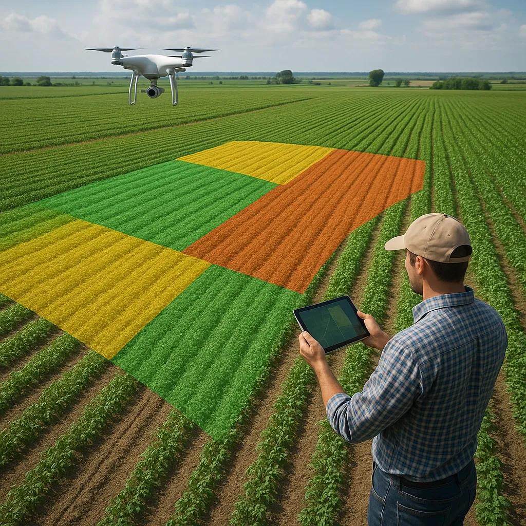
The global shift toward precision agriculture is fundamentally transforming how food is produced. At the heart of this transformation lies geospatial technology, which empowers farmers with site-specific insights that optimize crop selection, resource management, and yield forecasting. This article explores how spatial data, when integrated with satellite imagery, soil maps, weather models, and AI-based analytics, enables smarter crop planning at the micro (field-level) scale. The goal is to demonstrate how geospatial technologies drive both yield improvement and resource efficiency in smart agriculture.
Agriculture is evolving from intuition-based practices to data-driven strategies. Among the most disruptive innovations leading this change is the integration of geospatial technologies, Geographic Information Systems (GIS), Global Navigation Satellite Systems (GNSS), remote sensing, and IoT sensors, into farm management. These tools allow for the continuous monitoring and analysis of agro-ecological parameters, enabling site-specific crop planning based on precise spatial variability. This article delves into the technical workflows and practical benefits of using geospatial data to optimize farm productivity, sustainability, and profitability.
The Concept of Site-Specific Crop Planning
Site-specific crop planning involves the customization of crop types, planting densities, and farming inputs (water, fertilizer, pesticide) based on the unique characteristics of each plot within a farm. Unlike traditional blanket approaches, this technique takes into account the spatial variability in soil properties, topography, microclimate, and past crop performance.
Geospatial technologies facilitate this approach by mapping, modeling, and monitoring these variables with high granularity. Farmers can then apply precision strategies tailored to each zone within their field, ultimately increasing input efficiency and improving yield outcomes.
Core Geospatial Technologies in Smart Agriculture
1. Remote Sensing and Satellite Imagery
Satellite data provides multispectral and hyperspectral imagery for assessing crop health, soil moisture, vegetation indices (e.g., NDVI), and land use classification.
High-resolution satellites (like Sentinel-2, PlanetScope) enable early-stage crop planning by identifying trends in soil fertility and water retention zones.
2. Geographic Information Systems (GIS)
GIS platforms layer data from various sources to create spatial models for analysis.
Used to generate fertility maps, slope and drainage maps, and risk assessments (e.g., erosion zones, pest-prone areas).
Enables spatial querying and interpolation (e.g., kriging) to fill gaps in data for decision support.
3. GNSS and Field Sensors
GNSS ensures accurate positioning for variable rate applications (VRA) of seeds, fertilizers, and pesticides.
In-situ soil sensors measure pH, EC, temperature, and moisture in real time, feeding into GIS platforms for zonal decision-making.
4. Unmanned Aerial Vehicles (UAVs)
Drones capture field-level imagery at centimeter-scale resolution for real-time plant health monitoring and anomaly detection.
UAV-derived DSM/DTM models support field levelling, drainage design, and irrigation planning.
Application Areas in Site-Specific Crop Planning
A. Soil Health Mapping and Management
Spatial data from soil surveys and sensors enables the creation of high-resolution fertility maps. These maps inform:
Which crops are best suited to each zone.
Where soil amendments (lime, gypsum, compost) are needed.
Where conservation measures (e.g., cover crops, contour farming) should be applied.
B. Precision Seeding and Planting
Using GPS-guided machinery and GIS layers, farmers can:
Vary seed rates based on soil fertility and moisture zones.
Avoid over-seeding in poor zones and optimize seeding in high-potential areas.
Improve germination rates and reduce input wastage.
C. Water Resource Optimization
Spatial modeling of evapotranspiration (ET), soil moisture content, and slope gradients helps in:
Planning efficient irrigation systems like drip or sprinkler.
Detecting waterlogging-prone zones to avoid sensitive crops.
Integrating with IoT-based irrigation controllers to automate delivery.
D. Nutrient and Pest Management
GIS-based nutrient models assess past yield and soil test results to optimize fertilizer application.
NDVI maps from drones or satellites detect crop stress and guide targeted pesticide spraying.
Reduces chemical usage and minimizes environmental runoff.
Benefits: Yield Improvement and Resource Efficiency
Yield Improvement
Tailored Inputs : Matching crop needs with site capacity leads to healthier plants and better yields.
Stress Detection : Early warnings via geospatial analytics enable preventive action.
Seasonal Planning : Historical weather and yield maps assist in selecting the best sowing windows and crops.
Resource Efficiency
Input Reduction : Variable rate technology (VRT) saves fertilizers, pesticides, and water.
Labor Optimization : Maps guide labor allocation where and when it's most needed.
Sustainability Gains : Less runoff, erosion, and emissions due to optimized field operations.
Case Example: Smart Farming in Punjab, India
Punjab’s Department of Agriculture has piloted GIS-based soil health mapping across thousands of hectares. Farmers receive personalized crop advisories based on spatial variability in nutrient levels. In 2023, yield gains of 15–20% were reported for rice and wheat, with fertilizer use dropping by 25% in some districts.
Similarly, in Karnataka, a millet initiative used satellite weather data to time sowing periods optimally. Crop losses due to unseasonal rain fell by 30% over two growing seasons.
Challenges and Considerations
Data Gaps : In many regions, lack of real-time, high-resolution geospatial data is a bottleneck.
Skill Gap : Farmers need training to interpret maps and use geospatial apps.
Cost Barriers : Drone imagery and advanced sensors can be expensive for smallholders.
Interoperability : Integrating data from different platforms and vendors remains a technical hurdle.
Future Directions
AI and ML Integration : Predictive models will become more accurate as machine learning ingests multi-season spatial data.
Cloud-Based Geospatial Platforms : Easier access for farmers via mobile apps and web dashboards.
IoT + Satellite Fusion : Continuous monitoring combining in-situ and aerial data for dynamic crop management.
Geospatial Blockchain : To validate and trace site-specific practices in agri-supply chains, particularly for organic and sustainable produce.
Conclusion
Geospatial technologies offer a powerful lens to view, analyze, and act upon the spatial variability in agriculture. Site-specific crop planning enabled by GIS, remote sensing, GNSS, and AI analytics leads to smarter decisions that boost yields and conserve resources. As more governments and agribusinesses adopt these innovations, precision farming will become the norm, not the exception, ushering in an era of data-driven agriculture that is scalable, sustainable, and inclusive.