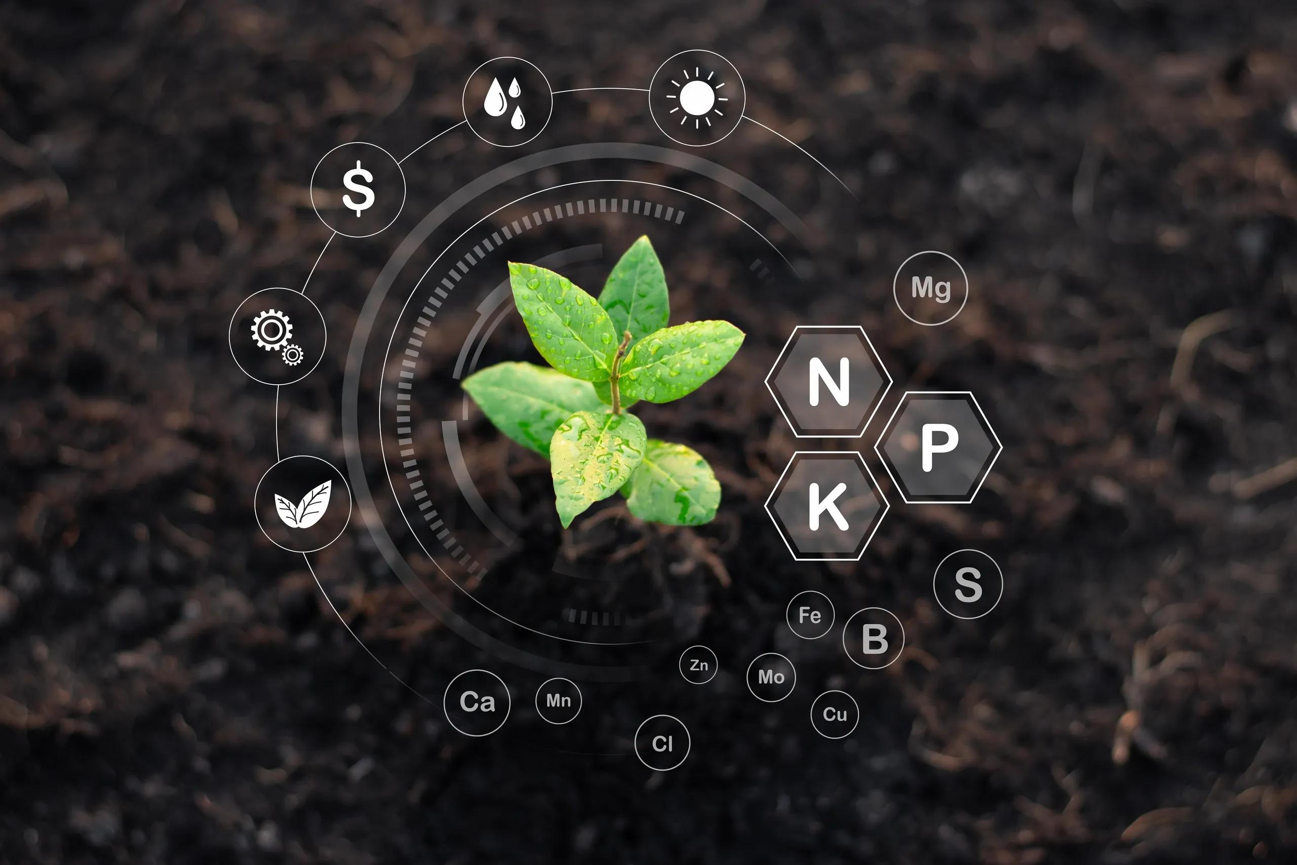
Geospatial data has transformed the way industries monitor and manage their resources. By capturing, analyzing, and visualizing location-based information, stakeholders in agriculture and natural resource management can make decisions that enhance productivity and sustainability. This article examines how geospatial data is applied in precision agriculture and natural resource management through real-time location insights, ultimately optimizing resource allocation and operational efficiency.
Understanding Geospatial Data
Geospatial data refers to any information that identifies the geographic location of features and boundaries on Earth. It is typically collected through various means, including satellites, unmanned aerial vehicles (UAVs), ground-based sensors, and mobile devices. Technologies such as Geographic Information Systems (GIS) and remote sensing software enable the storage, analysis, and visualization of this data.
The integration of geospatial data with other information systems allows users to interpret complex spatial relationships. In both agriculture and natural resource management, these insights drive decisions that optimize inputs, reduce waste, and improve overall management practices. The real-time nature of modern geospatial data collection has further enhanced these capabilities, providing up-to-date information that can be used to react quickly to changing conditions.
Precision Agriculture: A Data-Driven Approach
Precision agriculture is an agricultural management system that uses detailed information about soil, weather, crop conditions, and more to optimize farming practices. Geospatial data plays a central role in this approach by providing real-time insights into field variability and crop performance.
Soil and Crop Monitoring
One of the primary applications of geospatial data in precision agriculture is soil mapping. Farmers use high-resolution satellite imagery and UAV data to generate detailed maps that display soil properties such as texture, moisture content, and nutrient levels. By overlaying this information with historical yield data, farmers can identify patterns that influence crop performance. For example, variations in soil pH or moisture can lead to differences in crop health, prompting adjustments in fertilizer or irrigation practices.
Crop monitoring is further enhanced by remote sensing techniques. Multispectral imaging from satellites or drones can capture data on plant health by measuring the reflectance of light in various wavelengths. These images reveal stress indicators in crops, such as water deficiency or disease outbreaks, before they become visible to the naked eye. With real-time data, farmers can apply corrective measures promptly, thereby minimizing potential yield losses.
Variable Rate Technology and Resource Optimization
Variable Rate Technology (VRT) is another key benefit of integrating geospatial data in agriculture. VRT systems use geospatial insights to apply inputs such as seeds, fertilizers, and pesticides at variable rates across a field. Instead of treating an entire field uniformly, farmers can tailor applications based on the specific needs of different zones. This targeted approach not only increases crop yield but also reduces input costs and minimizes environmental impact.
A practical example can be seen in large-scale farming operations. A farmer equipped with GPS-guided machinery and real-time sensor data can adjust the rate of fertilizer application on the go. The machinery reads geospatial coordinates and soil data continuously, ensuring that each part of the field receives the precise amount needed for optimal growth. This level of control helps prevent over-application, reduces chemical runoff, and promotes sustainable farming practices.
Yield Prediction and Decision Support
Predictive analytics in precision agriculture rely heavily on geospatial data. By analyzing historical trends and real-time inputs, predictive models forecast crop yields with increasing accuracy. These models consider various factors such as weather patterns, soil conditions, and pest infestations. The resulting predictions enable farmers to plan harvest schedules, manage supply chains, and negotiate market contracts more effectively.
Real-time location insights also contribute to effective risk management. For instance, during periods of extreme weather, immediate geospatial data can alert farmers to areas of their fields that are most at risk of damage. This allows for swift intervention, such as deploying additional irrigation or protective measures, to mitigate losses.
Natural Resource Management: Monitoring and Preservation
Natural resource management encompasses a broad range of activities aimed at sustaining and protecting natural environments. Geospatial data supports these activities by providing detailed information on the state of natural resources, such as forests, water bodies, and wildlife habitats.
Forest Management and Deforestation Monitoring
Forests are dynamic systems that require constant monitoring to ensure their health and sustainability. Geospatial data, collected from satellites and drones, is used to monitor deforestation, forest degradation, and changes in vegetation cover. High-resolution imagery allows managers to detect even small-scale illegal logging activities. By analyzing temporal data, authorities can identify trends and deploy resources to areas where deforestation is accelerating.
In one case study, a forest management team used real-time geospatial data to monitor a large reserve. The team combined satellite imagery with ground-based sensor data to track changes in canopy cover and detect unauthorized clear-cutting activities. This timely information enabled rapid response measures, such as deploying patrols to intercept illegal loggers, thereby preserving the forest ecosystem.
Water Resource Management
Water is a critical resource that requires careful management, especially in regions prone to scarcity. Geospatial data assists in the efficient allocation and management of water resources by providing insights into watershed dynamics, water quality, and distribution networks. Sensors placed along rivers and reservoirs collect data in real time, which is then analyzed within a geospatial framework to monitor flow rates, detect contamination, and predict flood events.
In agricultural settings, geospatial data supports precision irrigation practices. Farmers use real-time soil moisture data to determine the optimal timing and amount of water required for different parts of a field. This not only conserves water but also ensures that crops receive the precise amount needed for optimal growth. Similarly, in urban water management, real-time geospatial data can help manage demand during peak usage times and coordinate repairs in aging infrastructure.
Wildlife Tracking and Habitat Conservation
Beyond forests and water bodies, geospatial data is instrumental in wildlife tracking and habitat conservation. GPS collars and satellite tags on animals generate real-time location data that researchers can analyze to understand migration patterns, breeding habits, and habitat use. This information is vital for designing conservation strategies and managing human-wildlife conflict.
For example, conservationists monitoring a population of endangered species can use geospatial data to map out critical habitats. By analyzing the movement patterns of these animals, managers can identify areas where human activity might disrupt migration or breeding. This enables targeted conservation efforts, such as creating wildlife corridors or adjusting land-use policies to minimize impact.
Real-Time Location Insights: Enhancing Resource Allocation
The integration of real-time geospatial data has a transformative effect on resource allocation across both agriculture and natural resource management. With sensors, drones, and satellites providing continuous streams of location-based data, decision-makers can access up-to-date information that reflects the current state of their operations.
Faster Response to Environmental Changes
In both farming and natural resource management, conditions can change rapidly. Real-time geospatial data allows for immediate detection of anomalies, such as a sudden drop in soil moisture or an unexpected change in forest cover. This immediate feedback loop enables managers to respond quickly, whether by adjusting irrigation schedules in a drought-stricken field or deploying conservation measures in response to illegal logging.
Data-Driven Decision Support Systems
Modern decision support systems integrate geospatial data with predictive analytics and machine learning algorithms. These systems analyze complex datasets to generate actionable insights, providing recommendations for optimal resource distribution. In agriculture, such systems might suggest precise fertilizer application rates or predict the best times for planting and harvesting. In natural resource management, they can forecast areas at risk of wildfire or identify regions that require increased protection due to habitat fragmentation.
Cost Reduction and Efficiency Improvement
The ability to target resources precisely where they are needed leads to significant cost savings. In precision agriculture, optimized input use reduces waste and lowers production costs, while maintaining or even boosting crop yields. Similarly, in natural resource management, efficient monitoring and timely interventions prevent costly environmental degradation and enable more effective conservation programs.
Conclusion
Geospatial data is a powerful tool that drives innovation in both agriculture and natural resource management. Through precision agriculture, farmers are now able to monitor soil and crop conditions in real time, apply inputs with greater accuracy, and predict yields more effectively. In natural resource management, geospatial insights support sustainable forest management, efficient water distribution, and targeted wildlife conservation efforts.
Real-time location data, combined with advanced analytical techniques, has transformed traditional management practices. It has provided stakeholders with the means to allocate resources more efficiently, reduce operational costs, and respond swiftly to environmental changes. As technology continues to evolve, the integration of geospatial data with other emerging technologies such as artificial intelligence and the Internet of Things will further enhance these capabilities, paving the way for more resilient and sustainable management practices in the future.
The ongoing advancements in geospatial data collection and analysis not only improve current methodologies but also open up new possibilities for addressing some of the most pressing challenges in agriculture and environmental management. By embracing these technologies, industries can expect to see continued improvements in efficiency, productivity, and sustainability.