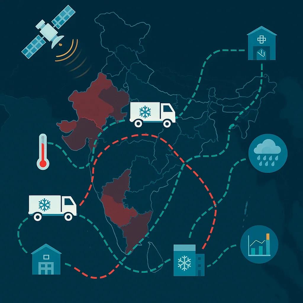
The global cold chain logistics sector is undergoing a transformation driven by increasing demand for temperature-sensitive goods, ranging from pharmaceuticals and vaccines to perishable foods and high-value chemicals. With regulatory compliance, food safety, and product integrity at stake, optimizing these supply chains is critical. Emerging technologies such as Geospatial Artificial Intelligence (GeoAI) offer a new frontier in solving the inherent complexities of cold chain logistics.
GeoAI integrates spatial data processing with machine learning and AI algorithms to analyze, predict, and optimize geographically distributed systems. In the context of cold chain logistics, this fusion enables real-time visibility, proactive risk mitigation, and route optimization tailored for maintaining temperature integrity across diverse terrains and climatic zones.
Understanding the Cold Chain Complexity
Cold chains are sensitive systems designed to maintain a predefined temperature range through storage, transportation, and handling of perishable goods. The challenges are compounded when operations span multiple geographies, regulatory frameworks, and climatic conditions. Key pain points include:
Inconsistent infrastructure (e.g., lack of cold storage in rural or remote areas)
Route delays due to traffic or adverse weather
Equipment failures in refrigeration units
Lack of end-to-end real-time monitoring
Rising energy and operational costs
Each of these variables introduces risk to temperature integrity. A minor fluctuation can lead to spoilage or compromise product efficacy, causing financial loss and consumer risk. Here, Geospatial AI plays a transformative role.
What is Geospatial AI?
Geospatial AI refers to the application of AI techniques (e.g., machine learning, deep learning, natural language processing) to spatial data. It leverages satellite imagery, GPS data, IoT sensor streams, GIS maps, and weather models to extract patterns and derive location-based intelligence. When applied to cold chains, GeoAI helps in:
Route planning and optimization based on terrain, real-time traffic, and climate forecasts
Predictive maintenance of refrigeration units using spatial-temporal patterns
Risk prediction for temperature excursions using historical delivery patterns
Dynamic rerouting to prevent delays or detours impacting product integrity
Geofencing and zone monitoring to enforce operational compliance
Key Components of a GeoAI-Enabled Cold Chain System
IoT Sensors and GPS Integration Temperature sensors embedded in storage units and transport vehicles continuously relay real-time data, while GPS devices track location. This data provides the spatial-temporal foundation on which AI models operate.
Weather and Environmental Data Feeds Satellite-based or meteorological inputs offer localized forecasts, critical for planning routes through regions prone to heat waves, heavy rainfall, or snowstorms, which can affect vehicle performance and cooling systems.
Geospatial Data Layers Including road networks, elevation, urban density, and cold storage availability. Combined with AI, these help optimize delivery plans based on geography and risk factors.
AI-Powered Analytics Machine learning algorithms analyze historical delivery performance, sensor data, and external conditions to flag anomalies, predict risks, and recommend proactive measures.
Dashboard and Alerting Systems Decision-makers access real-time dashboards that visualize route health, cold chain integrity, and deviations. AI-generated alerts notify operators about breaches or risks before they escalate.
Applications of Geospatial AI in Cold Chain Optimization
1. Dynamic Route Optimization
Traditional route planning fails to factor in temperature, terrain, or storage availability. GeoAI enables real-time rerouting based on:
Weather forecasts (e.g., avoid heat-prone routes)
Traffic congestion or road closures
Availability of nearby cold storage facilities for emergency stops
Historical data on delays or temperature excursions on specific routes
For example, an AI model might recommend avoiding a low-altitude coastal route during peak summer to prevent refrigeration strain and instead suggest a slightly longer high-altitude path with better climate control potential.
2. Risk Scoring for Regional Operations
By correlating spatial data with historic delivery outcomes, GeoAI models can score regions by their risk level for cold chain breaches. This helps logistic planners:
Choose optimal regional hubs
Allocate contingency storage
Prioritize investments in cold infrastructure
In India, for instance, logistic operations in the Northeast face different risks than those in central plains. GeoAI can tailor strategies based on micro-regional differences.
3. Predictive Maintenance of Refrigeration Equipment
Using geotagged operational data, AI models can identify patterns of cooling failures across specific regions or vehicle types. For example, high failure rates may correlate with regions experiencing high humidity, dust exposure, or rough terrains. Maintenance schedules can then be adjusted accordingly.
4. Last-Mile Delivery Precision
In urban settings, GeoAI helps navigate complex road networks and dynamically adjust last-mile deliveries to meet delivery windows while maintaining cold chain integrity. In rural areas, it helps identify viable cold storage touchpoints or consolidation centers.
Case Study: GeoAI in Vaccine Distribution
During COVID-19 vaccine rollout, maintaining ultra-cold temperatures (as low as -70°C for mRNA vaccines) was non-negotiable. In countries like India, Brazil, and parts of Africa, the distribution network spanned urban hubs to remote villages.
GeoAI platforms helped:
Visualize temperature compliance across transport corridors
Identify cold storage coverage gaps
Plan region-specific distribution strategies considering road accessibility and climatic extremes
Create geofenced alerts for when deliveries deviated from assigned paths or entered high-risk zones
The result: fewer spoilage incidents, higher delivery success rates, and better public health outcomes.
Challenges and Considerations
While GeoAI holds promise, adoption involves technical, operational, and regulatory hurdles:
Data Quality and Availability : Poor GPS signals in remote areas or inconsistent sensor calibration can skew AI predictions.
Model Training and Bias : AI systems require quality historical data across seasons and regions to be reliable.
Infrastructure Gaps : Rural and underdeveloped areas may lack the digital or physical infrastructure to support GeoAI.
Privacy and Compliance : Tracking data, especially when combined with other identifiers (e.g., patient records in pharma), must align with data protection regulations like India’s Digital Personal Data Protection (DPDP) Act.
The Indian Context: GeoAI for Cold Chain Logistics
India’s cold chain sector is fragmented and often informal, yet the demand is rapidly growing due to urbanization, e-commerce, and healthcare digitization. The government's National Centre for Cold-chain Development (NCCD) highlights that India loses nearly ₹130 billion annually due to inefficiencies in cold storage and transportation.
GeoAI, combined with the Digital India push, offers a way forward. Geospatial data from the National Geospatial Policy 2022 can be leveraged by startups, public agencies, and private logistics players to optimize distribution networks. This is especially relevant for vaccine distribution, agriculture exports, and rural e-commerce penetration.
Future Outlook
As 5G, low-earth orbit (LEO) satellites, and edge AI evolve, GeoAI applications in cold chain will become more precise and affordable. Combined with blockchain for auditability and digital twins for simulation, cold chain logistics will be more resilient and transparent.
Investing in these technologies will not only reduce spoilage and losses but also ensure compliance, sustainability, and customer trust, especially in sectors like pharma, food, and agriculture exports.
Conclusion
Geospatial AI introduces a powerful layer of intelligence in cold chain logistics. By marrying spatial context with AI-driven insights, it transforms cold chains from reactive systems into proactive, adaptive, and optimized networks. As temperature-sensitive logistics expand across geographies, GeoAI will be the key to ensuring that integrity is not compromised, no matter the destination.