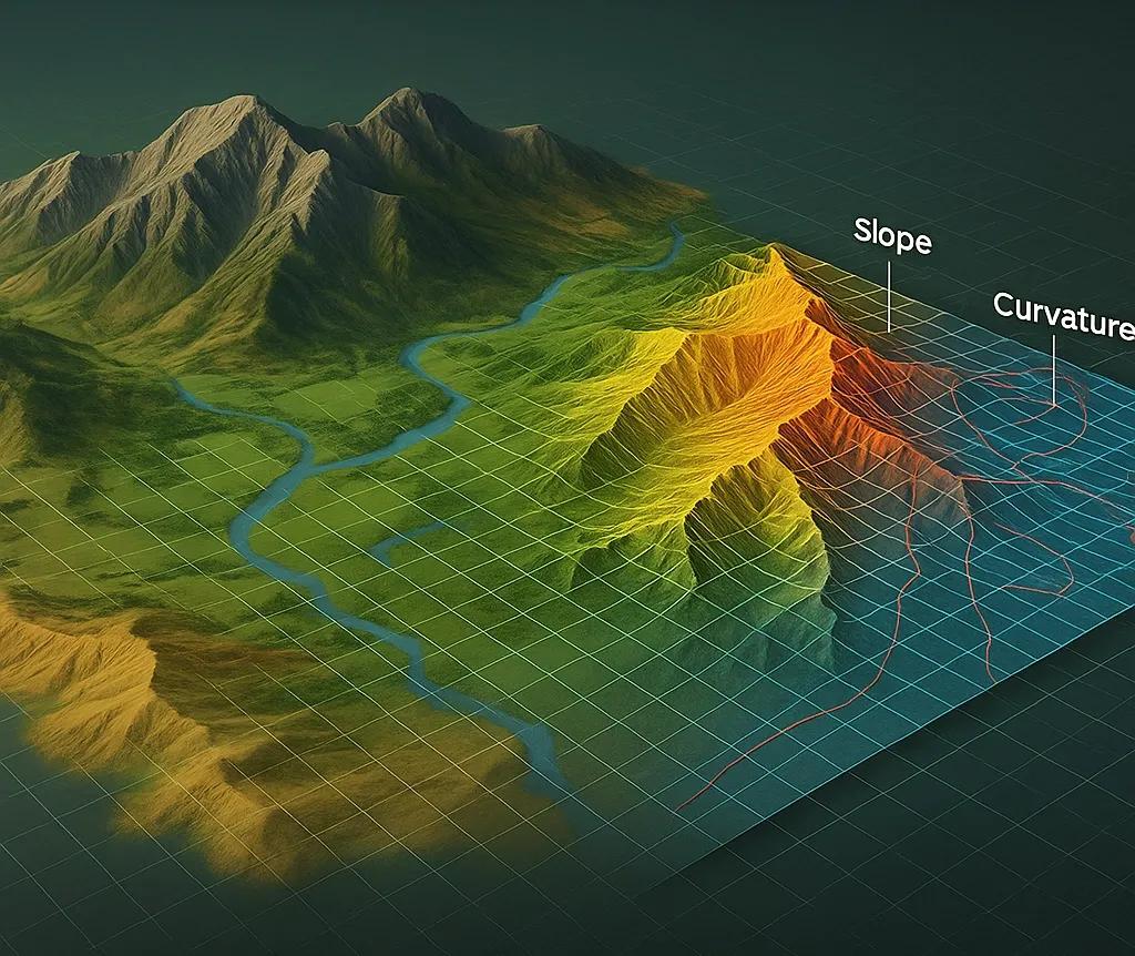
Reading the Landscape Like a Dataset
Every ridge, valley, dune, and delta is more than just a visual feature, it’s a data feature . Geomorphology, the study of landforms and the processes that shape them, can be understood today as Earth’s natural feature engineering process .
Just as data scientists transform raw inputs into structured variables that drive machine learning, geomorphologists decode topography into measurable indicators, slopes, curvature, roughness, drainage density, that feed spatial models. The planet, in essence, engineers its own attributes.
When we use DEMs, satellite imagery, or LiDAR point clouds, we’re not creating features, we’re extracting the ones the Earth has already built.
Decoding Geomorphology into Mappable Intelligence
Landforms are the physical expression of underlying geological and climatic forces. Each type encodes specific attributes that can be quantified:
Landform - Controlling Process - Geospatial Features Extracted
Mountains - Uplift, erosion - Slope, relief, ruggedness
Valleys - Fluvial incision - Drainage density, concavity
Plains - Deposition - Surface smoothness, elevation range
Dunes - Aeolian transport - Orientation, wavelength, morphology
Coastal Deltas - Sediment dynamics - Gradient, texture, proximity to coast
Plateaus - Erosional resistance - Surface uniformity, break-of-slope zones
Each landform type acts as a spatial feature class , contributing to predictive models, from landslide susceptibility and soil erosion to urban expansion and crop suitability.
Digitizing the Landscape: Turning Terrain into Variables
Geospatial technology has automated how we quantify landform features:
Terrain Derivatives from DEMs: Slope, aspect, curvature , derived from elevation gradients. Topographic Position Index (TPI) , identifies ridges, valleys, and plains. Topographic Wetness Index (TWI) , models potential water accumulation. Ruggedness Index (TRI) , captures terrain variability.
Spectral and Textural Features from Imagery: NDVI, NDWI, NDSI , track vegetation, water, and snow cover. GLCM texture metrics , quantify surface roughness and pattern.
Hydrological Modelling: Drainage networks, flow paths, and watershed delineations act as functional landform layers.
These variables form the digital genome of the landscape, quantitative attributes that describe how each terrain unit behaves.
From Landforms to Machine Learning Inputs
In predictive modeling, these geomorphic variables become independent features, enhancing model performance across disciplines:
Disaster Risk Mapping: Slope, lithology, and curvature are combined in logistic regression or random forest models to map landslide probability.
Soil and Erosion Studies: Relief and flow accumulation predict soil depth and erosion vulnerability.
Hydrology and Flood Modelling: TWI and stream density contribute to flash flood risk estimation.
Urban and Infrastructure Planning: Surface roughness and elevation derivatives help in site suitability and drainage design.
Feature engineering in geospatial AI isn’t about adding complexity, it’s about capturing Earth’s intrinsic logic through measurable terrain attributes.
Case Example: Indian Himalayas, Natural Data Laboratory
In the Indian Himalayas, researchers use terrain-based feature extraction to predict landslide risk zones.
DEM derivatives like slope angle (>30°) , curvature , and TPI act as predictors.
Machine learning models such as Random Forest and XGBoost integrate these variables with rainfall, lithology, and land use data.
Accuracy improvements of up to 15–20% are observed when geomorphic variables are included, proving that natural shape features improve predictive intelligence.
This approach demonstrates how Earth’s physical form becomes digital foresight when encoded correctly.
GeoAI Meets Geomorphology
The intersection of geomorphology and AI is creating new opportunities:
Automated Landform Classification: CNNs trained on DEMs now delineate landforms (e.g., gullies, ridges) automatically.
Self-Learning Terrain Models: GeoAI systems learn how elevation, slope, and drainage interact, similar to how neural networks learn visual features.
Digital Twins with Morphological Intelligence: Future Earth Twins will integrate real-time terrain changes, allowing simulation of geomorphic evolution under climate and human influence.
This convergence turns geomorphology into an active data science , the planet’s own way of feature selection and dimensionality reduction.
The Business Value of Geomorphological Features
Beyond research, terrain-derived features power practical decisions:
Mining: Identifying structurally favorable zones using slope and curvature.
Agriculture: Determining soil retention and irrigation efficiency from terrain shape.
Infrastructure: Predicting maintenance risks in hilly or erosion-prone areas.
Insurance and Finance: Pricing risk based on geomorphic exposure models.
In each case, Earth’s natural features become business features , driving decisions with spatial context.
Outlook: The Landscape as a Learning System
In the coming years, geomorphological intelligence will move from static mapping to temporal analytics , tracking how features evolve.
High-frequency satellite revisits and drone-based 3D modeling will allow us to quantify terrain change as a variable , enabling models that learn from erosion, deformation, and deposition in near real time.
The next generation of GeoAI will not just use terrain features, it will learn how to engineer them dynamically, just as nature does.
Conclusion
Geomorphology bridges the physical and digital worlds. By decoding landforms into data features, we translate Earth’s continuous evolution into structured intelligence.
Each ridge, valley, and plain becomes a data point in the planet’s ongoing computation, a reminder that feature engineering started not in AI labs, but in the natural world itself.