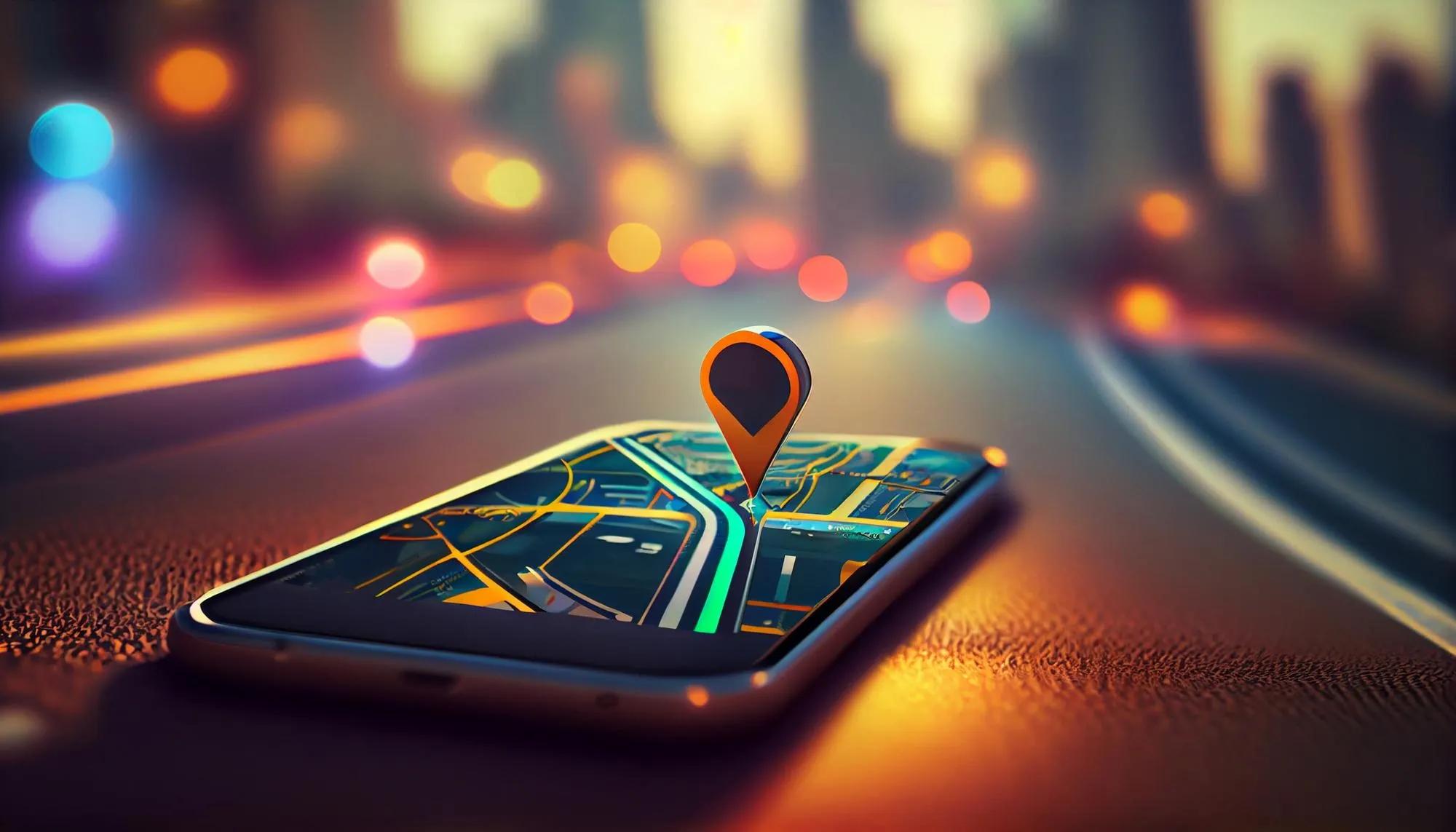
In a world where smartphones guide us to unknown destinations and online maps visualize complex urban layouts, geocoding stands as a silent enabler of convenience. Geocoding, the process of converting textual address data into geographic coordinates, is a fundamental aspect of modern geospatial technology. It empowers a myriad of applications, from navigation and logistics to urban planning and disaster management. While the term might sound technical, its essence and importance are accessible to anyone willing to understand the basics. This article demystifies geocoding, making it approachable for non-techies while highlighting its role in harnessing the power of location data.
What is Geocoding?
At its core, geocoding translates human-readable address information, like "Charminar, Hyderabad, India," into geographic coordinates such as latitude (17.361401) and longitude (78.474356). These coordinates provide a precise position on Earth, enabling software systems to place this address on a digital map.
Reverse geocoding , the counterpart of geocoding, works in the opposite direction: converting geographic coordinates into a human-readable address. For instance, given latitude and longitude coordinates, reverse geocoding can identify the nearest address or point of interest (POI).
Both processes serve as bridges between the human and digital interpretations of location, fueling countless location-based services (LBS).
Why Geocoding Matters
Geocoding is the backbone of many applications we interact with daily, such as:
Navigation Systems: Platforms like Google Maps and Uber use geocoding to convert user input (addresses or locations) into actionable routes.
Emergency Services: Accurate geocoding enables emergency responders to locate incidents swiftly.
E-commerce and Logistics: Geocoding ensures packages are delivered to the correct locations, optimizing routes and reducing delivery times.
Urban Planning: Planners use geocoded data to analyze population distribution, infrastructure needs, and traffic patterns.
Environmental Monitoring: Geocoding helps map pollution levels, wildlife habitats, or areas vulnerable to natural disasters.
How Geocoding Works
While geocoding may seem straightforward from a user’s perspective, the underlying process involves multiple steps:
1. Parsing and Standardization
The input address is parsed into components like house number, street name, city, and postal code. This parsing ensures consistency in interpreting and processing the address.
2. Address Matching
The parsed address is matched against a reference database, such as government records, commercial datasets, or open-source repositories like OpenStreetMap (OSM). This step identifies potential matches and eliminates ambiguity.
3. Coordinate Assignment
Once a match is found, the corresponding geographic coordinates are assigned to the address. These coordinates may represent the building centroid, street midpoint, or postal area, depending on the dataset's granularity.
4. Accuracy and Validation
Geocoding accuracy depends on the quality and completeness of input data and the reference database. Validation ensures that results align with real-world locations.
5. Output
The output is typically in latitude-longitude format, which can be used in mapping applications, spatial analysis, or other geospatial workflows.
Challenges in Geocoding
Despite its utility, geocoding faces several challenges:
Incomplete or Ambiguous Addresses: Missing components, like a postal code or street number, can lead to inaccurate results.
Inconsistent Address Formats: Address formats vary across countries and regions, complicating standardization.
Database Limitations: Outdated or incomplete reference datasets can compromise geocoding accuracy.
Disambiguation: Common place names or duplicate addresses (e.g., "Main Street" in multiple cities) require additional context to resolve.
Rural and Remote Areas: Sparse data in remote regions can lead to less reliable geocoding outcomes.
Making Geocoding Accessible for Non-Techies
For non-technical users, understanding geocoding’s implications and applications is more important than delving into its technicalities. Here are practical insights to make sense of geocoding:
1. Think of Geocoding as Translation
Geocoding "translates" between human and machine languages for location. While we describe a location in words, computers understand it as numbers (coordinates).
2. Precision Matters
Geocoding results are as good as the input. Providing a complete, clear address minimizes errors and ambiguity.
3. Context is Key
Consider the context of your geocoding needs. For instance, a business analyzing customer locations may prioritize postal codes over exact coordinates.
4. Explore Tools and Platforms
Many tools simplify geocoding for non-technical users:
Google Maps API: Offers reliable geocoding and reverse geocoding capabilities.
OpenCage Geocoder: Combines data from multiple sources, including OSM.
Geocodio: Provides batch geocoding and address validation.
QGIS: A free and open-source geographic information system with geocoding plugins.
5. Evaluate Data Quality
The accuracy of geocoding depends on the quality of reference datasets. For critical applications, ensure the data is up-to-date and regionally relevant.
Geocoding’s Ethical and Privacy Implications
Geocoding is not just a technical process but also one with ethical dimensions. Location data can reveal sensitive information about individuals, posing privacy risks. For instance, a geocoded dataset of hospital visits could inadvertently disclose health conditions or patterns.
To address these concerns, organizations must:
Anonymize Data: Remove or obfuscate personal identifiers from geocoded datasets.
Secure Data: Implement robust security measures to prevent unauthorized access.
Comply with Regulations: Adhere to data protection laws, such as GDPR in Europe or the Digital Personal Data Protection Bill in India.
Applications and Future Trends
The applications of geocoding continue to expand as technology evolves. Some emerging trends include:
Integration with AI and Machine Learning: AI can enhance geocoding accuracy by learning from patterns and improving address parsing.
Indoor Geocoding: Advances in technology enable geocoding within buildings, such as identifying specific floors or rooms.
Real-Time Geocoding: With the growth of IoT, real-time geocoding powers dynamic applications like live traffic updates and location tracking.
Enhanced Accessibility: User-friendly geocoding tools and interfaces make the technology accessible to non-specialists, democratizing its benefits.
3D Geocoding: As cities embrace 3D mapping and digital twins, geocoding will incorporate altitude and elevation data for more comprehensive spatial representation.
In conclusion, geocoding’s ability to bridge human and digital understanding of location has made it indispensable across industries. For non-techies, grasping the basics of geocoding, its purpose, process, and practical applications, opens doors to leveraging location data effectively. As technology continues to advance, geocoding will play an even more critical role in shaping the digital and physical worlds. Understanding it today ensures readiness for tomorrow’s location-driven innovations.