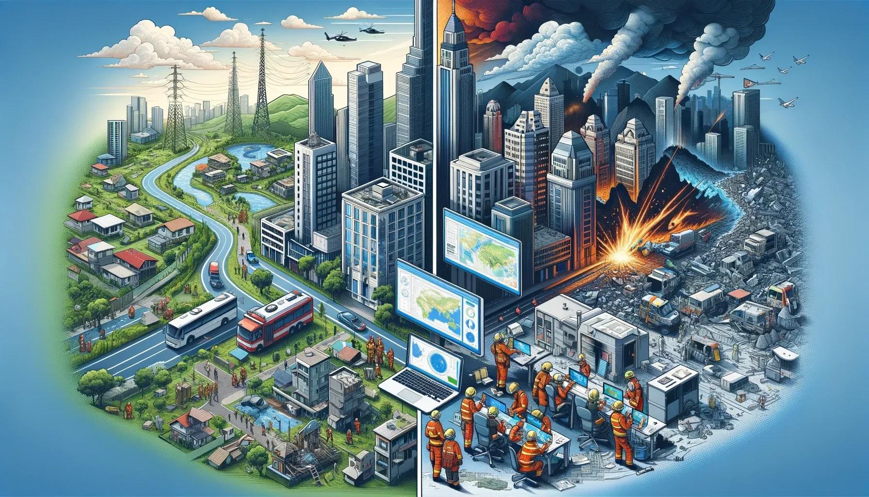
In the domain of disaster management, the convergence of Geospatial Information and Building Information Modeling (BIM), commonly referred to as GeoBIM, represents a significant advancement. This integration not only revolutionizes how we prepare for and respond to natural disasters but also poses critical questions about its effectiveness, application, and future potential. This article critically examines the role of GeoBIM in disaster management, delving into real-world applications, challenges, and prospects.
GeoBIM: A Conceptual Overview
GeoBIM amalgamates GIS's spatial data handling capabilities with BIM's detailed architectural and engineering design aspects. GIS excels at managing extensive geographical data, whereas BIM offers in-depth information about building structures. This integration facilitates a comprehensive understanding of both the natural and built environments, essential for effective disaster management.
Enhancing Disaster Resilience
The application of GeoBIM to enhance disaster resilience lies in its capacity to simulate potential disaster impacts. For instance, in earthquake-prone areas, GeoBIM can be used to assess the seismic vulnerability of buildings by analyzing their structural integrity and the surrounding geographical features. A notable example is the retrofitting of historical buildings in earthquake-vulnerable zones, where GeoBIM played a crucial role in identifying structural weaknesses and guiding renovation efforts.
Flood Risk Management
In the context of flood management, GeoBIM aids in creating accurate flood models. These models consider topography, land use, and built environment data, enabling urban planners to devise more effective flood mitigation strategies. In the Netherlands, GeoBIM has been instrumental in designing flood-resistant urban landscapes, showcasing its potential in water-centric disaster management.
Accelerating Disaster Response
GeoBIM's real-time data integration capabilities are invaluable in disaster response. During the 2011 earthquake and tsunami in Japan, GeoBIM systems were employed to manage the crisis effectively. These systems provided emergency responders with vital information, such as the safest evacuation routes and the structural status of buildings, facilitating efficient and informed decision-making in a time-critical environment.
Enhancing Fire Management
In wildfire management, GeoBIM provides a dynamic tool for understanding fire behavior in relation to the built environment. In the 2019 Australian bushfires, GeoBIM tools were used to simulate fire spread, assisting in the allocation of firefighting resources and evacuation planning.
Critical Perspectives and Challenges
While GeoBIM presents numerous advantages, its application in disaster management is not without challenges. One significant hurdle is the interoperability between GIS and BIM systems. These systems often operate on different standards and formats, making seamless integration a complex task. Moreover, the high costs associated with implementing and maintaining GeoBIM systems can be prohibitive, especially for developing countries with limited resources.
Data Quality and Accessibility
The effectiveness of GeoBIM is heavily dependent on the quality and accessibility of the data. Inaccurate or outdated data can lead to flawed analyses, potentially exacerbating disaster situations. Additionally, the lack of open data policies in some regions hinders the full potential of GeoBIM applications in public disaster management efforts.
Future Prospects and Recommendations
To harness the full potential of GeoBIM in disaster management, several key steps need to be taken. First, the development of universal standards for GIS and BIM integration is essential. This would address interoperability challenges, facilitating smoother data exchange and system coordination.
Encouraging Open Data Policies
Promoting open data policies would enhance the availability and quality of the data essential for effective GeoBIM applications. Governments and international organizations can play a pivotal role in this by advocating for and implementing such policies.
Investing in Research and Development
Investing in research and development is crucial for advancing GeoBIM technologies. This includes exploring artificial intelligence and machine learning integration to enhance predictive analytics in disaster scenarios.
In conclusion, GeoBIM stands as a groundbreaking tool in the realm of disaster management, offering unparalleled capabilities for enhancing resilience and accelerating response. However, due to difficulties with system interoperability, data quality, and accessibility, it has not yet reached its full potential. Moving forward, concerted efforts in standardization, open data advocacy, and technological advancement are vital to unlocking the transformative power of GeoBIM in creating safer, more resilient communities in the face of natural disasters.