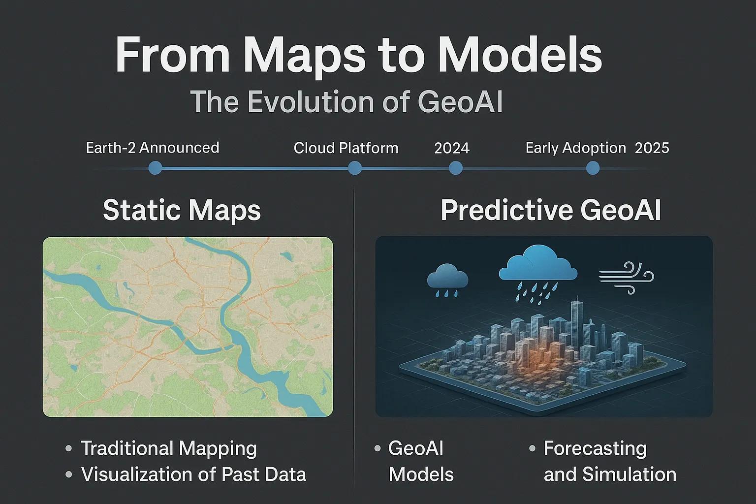
For decades, geospatial analysis was synonymous with static maps, visual tools for describing “what is where.” But the past three years have witnessed a decisive shift: GeoAI platforms like NVIDIA’s Earth-2 are moving beyond mapping into predictive analytics, offering kilometer-scale forecasts and scenario modeling that can transform how we plan for climate resilience and urban growth.
This evolution is not just about better maps; it is about anticipating the future, simulating interventions, and guiding action in real time. For governments, planners, and industries in regions like India, where climate risks and rapid urbanization intersect, the implications are profound.
From Traditional Mapping to Predictive GeoAI
Traditional GIS platforms provided valuable static representations, elevation maps, flood zones, land-use overlays. However, they lacked the ability to forecast how these conditions would evolve over time. Climate change has rendered this approach insufficient: rainfall patterns are shifting, extreme weather is intensifying, and urban infrastructure is under pressure.
GeoAI changes this dynamic by combining:
Physics-based climate models with machine learning accelerators .
Remote sensing and IoT sensor data with neural network downscaling .
Cloud APIs and microservices that operationalize forecasts into dashboards.
The result: predictive urban planning and climate modeling at unprecedented resolution and speed .
Earth-2: Key Technological Leap
When NVIDIA first announced Earth-2 in 2021, it was positioned as a climate-focused AI supercomputer. By 2024, the platform matured into a cloud-accessible “digital twin of the Earth”, complete with APIs and generative AI weather models like CorrDiff.
Technical breakthroughs include:
Resolution Downscaling : From 25-km inputs to ~2-km fields, critical for city-level planning.
Speed & Energy Gains : ∼1000× faster and ∼3000× more efficient than traditional simulations.
Microservice Architecture : Earth-2 NIM exposes models through APIs, enabling integration into urban dashboards, flood models, and digital twins.
This makes high-resolution climate and weather predictions practical for day-to-day decision-making, not just research.
Applications for Climate and Urban Planning
Flood Risk & Drainage Planning High-resolution rainfall forecasts feed hydrological models. Cities can test “what-if” interventions such as new drainage lines, stormwater retention basins, or permeable pavements.
Urban Heat Mitigation 2-km temperature fields highlight heat islands. Planning authorities can target trees, green roofs, or reflective surfaces to reduce human exposure.
Utility and Transport Resilience Forecasts at neighborhood scale predict power outages, transport disruption, or landslide risks. Operators can pre-position crews, adjust timetables, and minimize downtime.
Policy Simulation GeoAI blends socioeconomic, mobility, and land-use data with predictive layers. Planners can evaluate how zoning changes, infrastructure investments, or building codes impact risk exposure and resilience outcomes.
Case Examples
Taiwan’s Central Weather Administration has piloted Earth-2 to deliver near real-time rainfall predictions, supporting disaster preparedness.
The Weather Company integrated Earth-2 APIs to generate consumer-facing forecasts at 2-km resolution, showing how enterprise adoption is scaling.
In India, a potential use case could be Hyderabad flood resilience, where IoT rainfall sensors and UAV mapping are coupled with Earth-2 downscaling to anticipate flash floods in high-density zones.
Benefits and ROI
Organizations deploying GeoAI for planning gain:
Precision – actionable insights at block level.
Speed – forecasts in minutes instead of hours/days.
Efficiency – massive energy savings in compute cycles.
Preparedness – reduced downtime, avoided losses, improved safety.
Policy Confidence – evidence-based scenarios for stakeholders.
Challenges and Caveats
Data Gaps : Local calibration requires dense sensor networks (IoT, UAV, weather stations).
Uncertainty Handling : AI models can underperform during extreme outliers; hybrid ensembles are essential.
Adoption Barriers : Municipal agencies often lack budgets, skilled teams, or policy frameworks to deploy such systems at scale.
Future Outlook
The trajectory is clear: GeoAI will define the next decade of geospatial intelligence. Earth-2 is not just a climate model; it is a template for predictive platforms that cities, utilities, and businesses worldwide can adopt.
In India, where urbanization is projected to add 416 million people to cities by 2050, and where climate disasters already affect millions annually, the timing is critical. Moving beyond static maps to predictive modeling is not optional, it is the path to resilience.