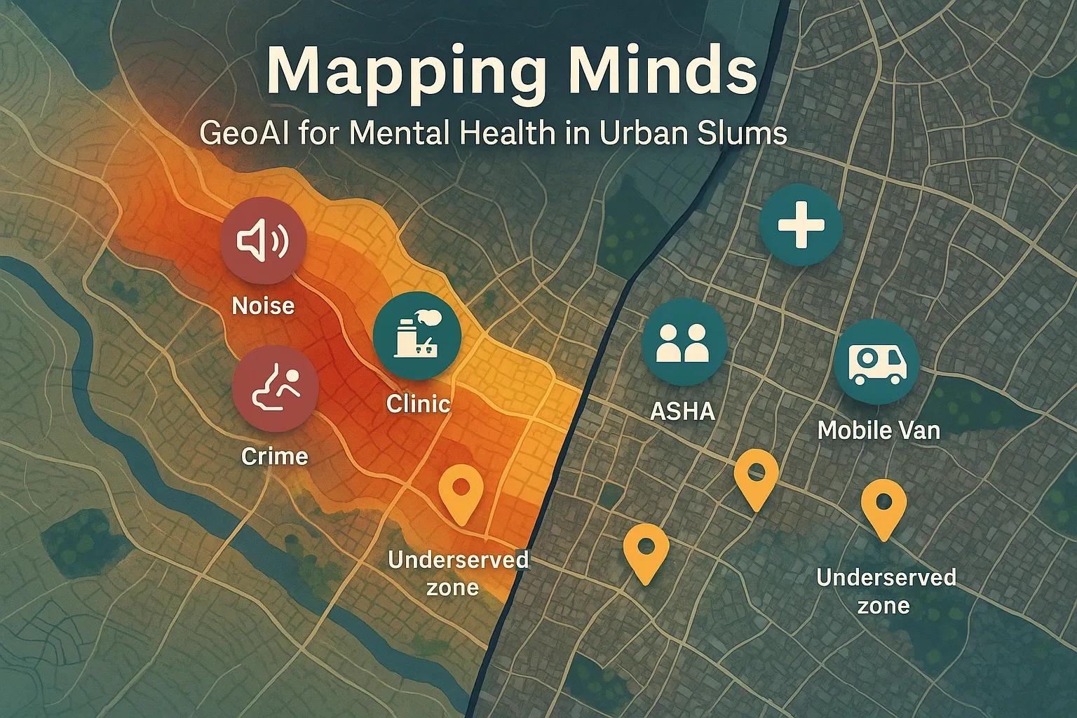
Urban slums are complex and dynamic environments that pose significant challenges for healthcare delivery, particularly in mental health. With dense populations, poor infrastructure, environmental stressors, and limited healthcare access, residents of these settlements are at increased risk for mental health disorders. Traditional planning methods often fail to capture the hyper-local nuances of these areas. However, the convergence of Geographic Information Systems (GIS) and Artificial Intelligence, referred to as GeoAI, is transforming how public health systems identify, map, and intervene in underserved areas. GeoAI enables data-driven planning of mental health outreach by integrating spatial data with social, environmental, and behavioral indicators.
This article explores how GeoAI can be applied to plan and improve mental health services in urban slums by identifying stress indicators and correlating them with infrastructure deficits. The focus is on the Indian urban context, although the approach has global relevance.
Understanding Mental Health Challenges in Urban Slums
Mental health issues in urban slums often remain invisible due to multiple barriers:
Stigma and cultural silence around mental illness
Lack of specialized mental health professionals
Physical inaccessibility of healthcare facilities
Overburdened primary health systems
Environmental stressors such as noise, overcrowding, poor sanitation, and exposure to crime
Conventional public health interventions often miss these areas due to a lack of granular data. GeoAI bridges this gap by enabling fine-resolution mapping of stress factors and infrastructure needs.
What is GeoAI?
GeoAI combines geospatial technologies with AI/ML algorithms to derive actionable insights from spatial data. In the context of urban mental health, GeoAI can process diverse datasets including:
Satellite imagery
Real-time mobility data
Crowdsourced social media content
Public health surveys
IoT sensor data (e.g., noise, air quality)
Infrastructure layers (water, sanitation, housing, clinics)
GeoAI models can identify hotspots of psychosocial vulnerability, predict future mental health service demands, and guide the spatial deployment of limited resources.
Key Components of GeoAI for Mental Health in Slums
1. Data Aggregation
The foundation of any GeoAI model is multi-source data aggregation. For urban slums, relevant data streams include:
Census and NFHS data for literacy, income, and demographic profiles
Remote sensing data to map built-up density, green spaces, and waterlogging zones
Air and noise pollution data from open sensor networks or satellite-derived proxies
Public health records from urban primary health centers (UPHCs)
Mobile phone usage and social media trends , indicating changes in mobility or distress signals
Slum mapping layers from municipal GIS platforms
Integration of structured (e.g., survey data) and unstructured data (e.g., text, images, noise levels) allows a comprehensive understanding of stress indicators.
2. Stress Indicator Mapping
AI algorithms such as clustering (e.g., DBSCAN, K-Means) or dimensionality reduction (e.g., PCA, t-SNE) are used to detect spatial clusters of mental health stressors. Key indicators include:
High crime rates or perception of insecurity
Overcrowding and housing degradation
Lack of open or recreational spaces
Low access to clean water or sanitation
Proximity to industrial zones or dump yards
Ambient environmental stress (air/noise pollution)
These layers are overlaid to develop composite stress vulnerability indices for micro-areas within slums.
3. Infrastructure Gap Analysis
GeoAI models can analyze existing infrastructure coverage for mental health services, including:
Proximity to clinics or psychologists
Coverage by Accredited Social Health Activists (ASHAs)
Accessibility via roads or public transport
Internet or mobile coverage for tele-mental health
By comparing stress indicators with infrastructure layers, planners can identify underserved pockets with high need but low service availability.
4. Predictive Analytics
Machine learning models can forecast:
Future demand for mental health services
Areas likely to experience stress surges due to migration, job loss, or disasters
Effectiveness of past outreach campaigns (based on historical data)
Time-series models like ARIMA, LSTM, or spatial-temporal graph networks are increasingly used for such predictions.
5. Visualization and Decision Support
Interactive GIS dashboards built on platforms like QGIS, ArcGIS Online, or Google Earth Engine allow policymakers to visualize:
Vulnerability clusters
Gaps in service delivery
Recommendations for new health kiosk locations
Temporal trends in mental health risk
These tools make insights accessible to both planners and frontline workers.
Case Study: Pilot GeoAI Model for Dharavi, Mumbai
In a proof-of-concept study conducted in Mumbai’s Dharavi slum, a GeoAI model was deployed to identify mental health risk clusters. The following datasets were used:
NDVI to identify absence of green spaces
Noise mapping from open sensor nodes
Crime heatmaps from police open data
Community stress indicators from sentiment analysis on local WhatsApp groups and Twitter handles
Proximity to primary health centers
The model identified five zones within Dharavi that had high stress scores and poor access to services. Based on this, a local NGO reallocated their mobile mental health units and added evening counseling sessions in high-need areas.
Benefits of Using GeoAI in Mental Health Planning
Hyper-local precision in identifying service gaps
Efficient resource allocation where it is needed most
Data-driven advocacy to attract government and donor attention
Monitoring impact of outreach programs in real-time
Scalable and replicable for other urban areas
Challenges in Implementation
Despite its promise, deploying GeoAI in urban slum contexts has challenges:
Data privacy concerns , especially with mobile and social media data
Incomplete or outdated spatial data layers
Limited technical capacity at local health departments
Low digital literacy among field workers for using AI tools
Need for participatory validation from communities to avoid false positives
To overcome these, public-private partnerships and capacity-building are essential. Integration with India’s National Digital Health Mission (NDHM) and Urban Health Missions can provide institutional anchors.
Future Outlook
GeoAI will play an increasingly important role in community mental health, especially as smart cities and health-tech platforms mature. Key future trends include:
Integration with mental health telemedicine platforms for last-mile reach
Use of drone imagery to update slum geographies in real-time
Citizen-sourced data validation via mobile apps
Ethical AI frameworks ensuring fairness and transparency in model outputs
Conclusion
GeoAI provides a powerful lens to visualize and address mental health challenges in the most underserved pockets of our cities. By mapping stress and infrastructure gaps at the micro-level, it enables targeted, responsive, and equitable interventions. In countries like India, where slum populations are both vulnerable and often invisible in policy discourse, GeoAI can bridge the last-mile gap in mental health services.